- Manchaca, Texas
-
Manchaca — Unincorporated community — Manchaca Post Office Location within the state of Texas
 Manchaca
Coordinates: 30°8′27″N 97°50′2″W / 30.14083°N 97.83389°WCoordinates: 30°8′27″N 97°50′2″W / 30.14083°N 97.83389°W Country United States State Texas County Travis Time zone Central (CST) (UTC-6) - Summer (DST) CDT (UTC-5) ZIP codes FIPS code GNIS feature ID Manchaca is a small unincorporated community in Travis County, Texas, United States. It is located 10 miles (16 km) southwest of downtown Austin.
Contents
History
Manchaca was named after Manchaca Springs, which were named after José Antonio Menchaca, an early military and political leader in Texas. The Manchac House post office opened two miles south of the present-day location of Manchaca in 1857; the office closed the following year. A second post office, located at the present-day site of Manchaca, operated from June 1874 to May 1875. Afterwards area residents received mail in the unincorporated community of Onion Creek. The area began to grow when the International-Great Northern Railroad opened in 1881; a third post office, called Manchaca, opened. By 1884 the 75-resident community was a shipping point for cotton, grain, lumber, and posts. In the 1890s a Methodist church, a hotel, and a school opened. The community had 200 people in the 1960s. In the 1970s the number of residents decreased to 36.[1] Local development increased in the mid-1980s. The community had 4,700 people in 1990. In 2000 the community had 2,259 people.[2]
Main routes
The main roads through Manchaca are
- Texas Farm-to-Market Road 1626, running generally west-east;
- Texas Farm-to-Market Road 2304, also known as Manchaca Road, running northward from FM 1626 and starting at Menchaca Elementary School;
- Twin Creeks Road, running south from FM 1626 and starting just east of a railroad crossing; and
- Old San Antonio Road, running south from Austin to Buda just west of Interstate 35.
FM 2304/Manchaca Road realigns along Austin's north-northeast-to-south-southwest axis as it goes into the city limits after crossing Slaughter Creek. FM 1626 connects to Interstate 35 two miles to the east, while it runs west until it reaches Bear Creek, which it winds along and crosses, then heads generally southward until it passes Buda, where it generally curves back eastward until it reaches Interstate 35 once more, just north of Kyle. Twin Creeks Road crosses Bear and Onion Creeks near their confluence just east of the road (from which its name is derived) then curves to run east until it ends at Old San Antonio Road, a branch of the old Camino Real, which runs from Austin west of Interstate 35 and passes Manchaca Springs, an historic spot after which the community is named, just north of the Hays County line and Buda.
Government and infrastructure
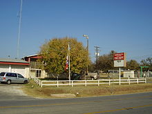 Manchaca Volunteer Fire Department
The Manchaca Volunteer Fire Department, headquartered in the community, provides Manchaca with fire protection.[3] The Travis County Sheriff's Office provides police protection. The community is within Travis County Precinct 3.[4]
Manchaca is located in District 47 of the Texas House of Representatives. As of 2011 Paul Workman represents the district.[5] Manchaca is within District 25 of the Texas Senate.[6] As of 2011 Jeff Wentworth represents the district.
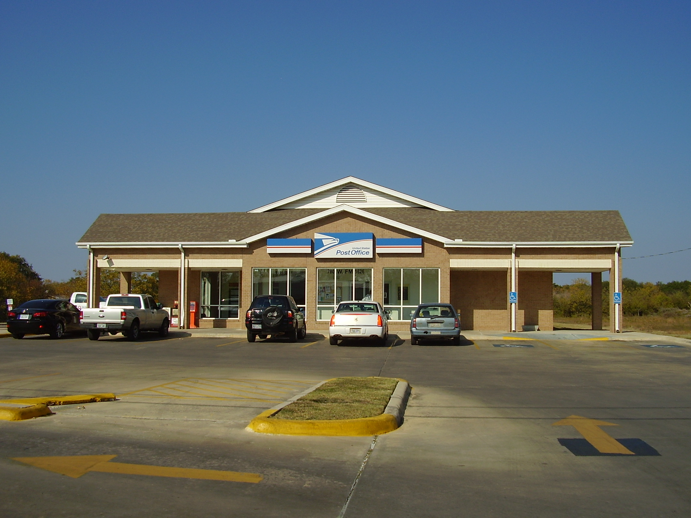
Manchaca is in Texas's 25th congressional district; as of 2011 Lloyd Doggett is the representative.[7] The designated United States Postal Service office is the Manchaca Post Office at 780 West Farm to Market Road 1626 in Manchaca.
Education
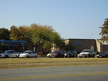 Menchaca Elementary School
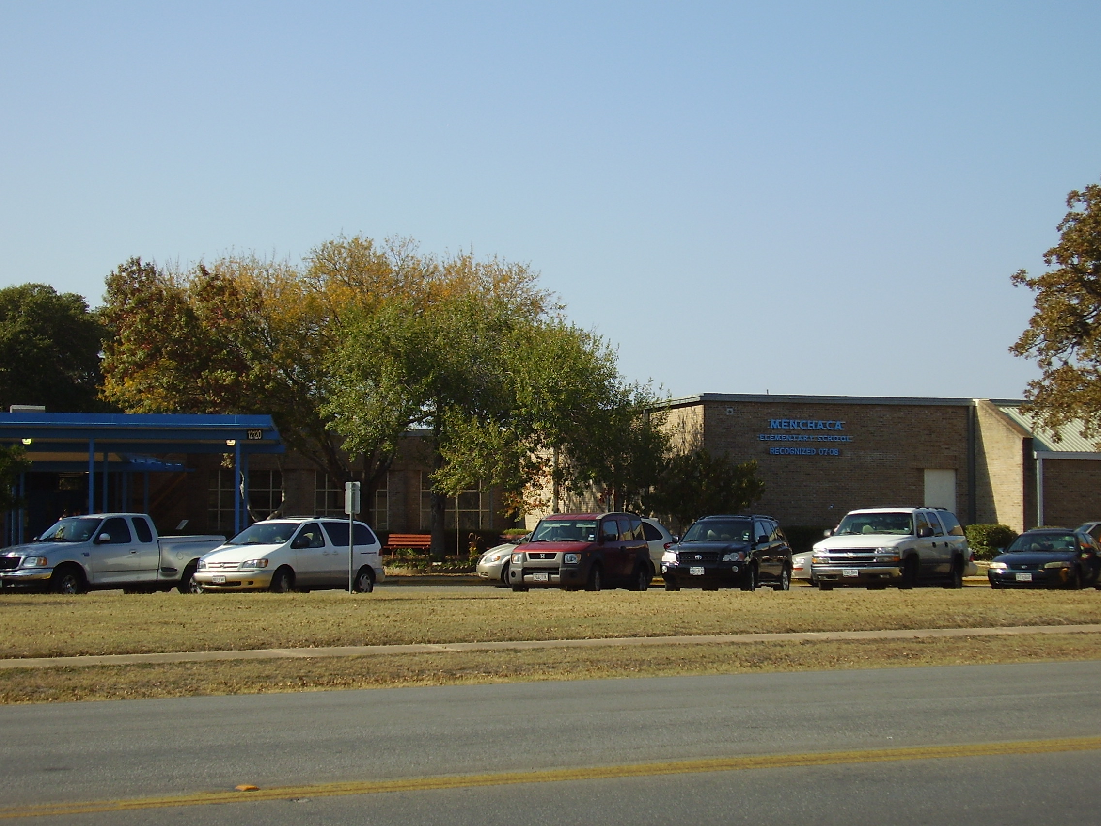
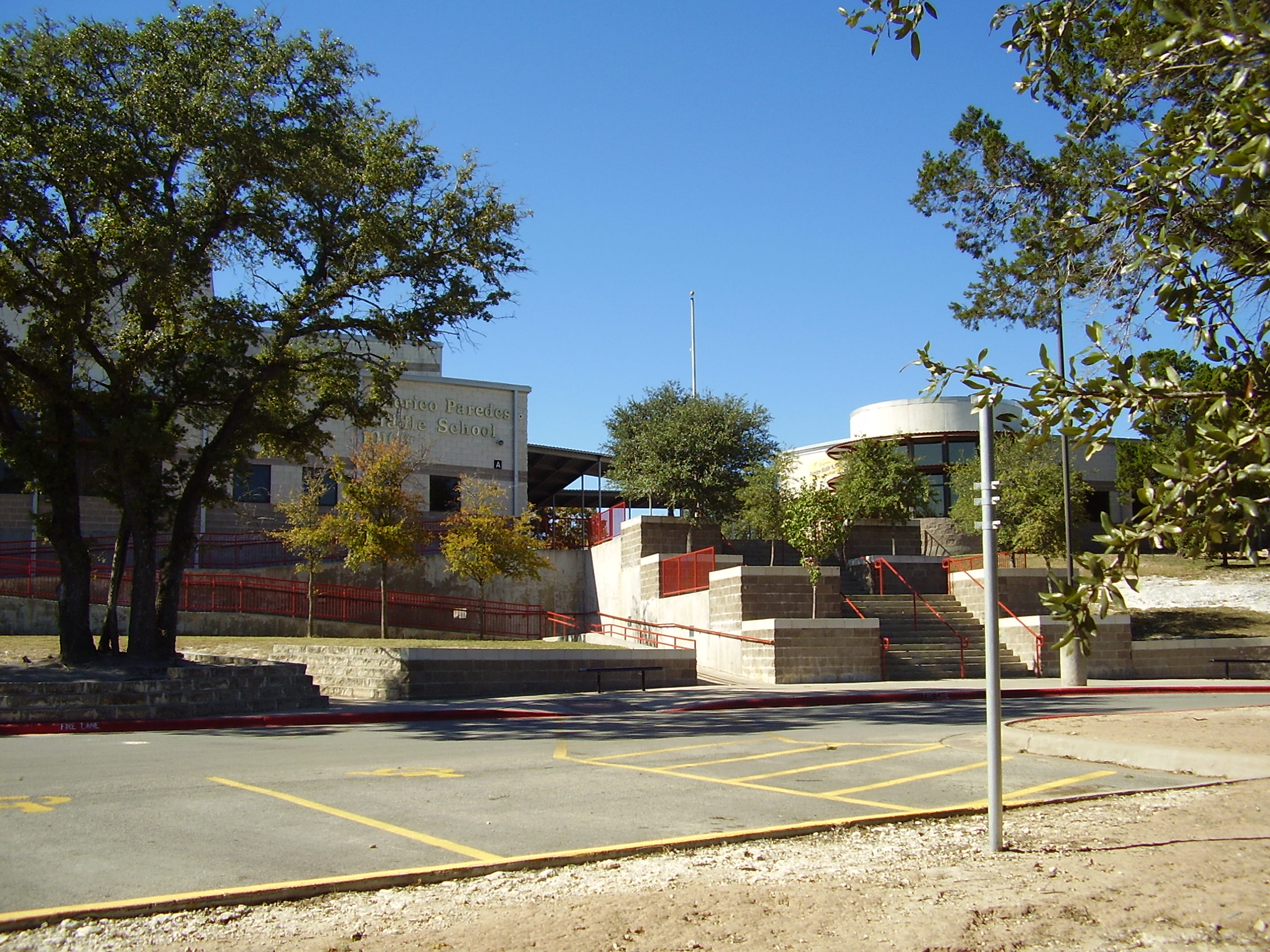
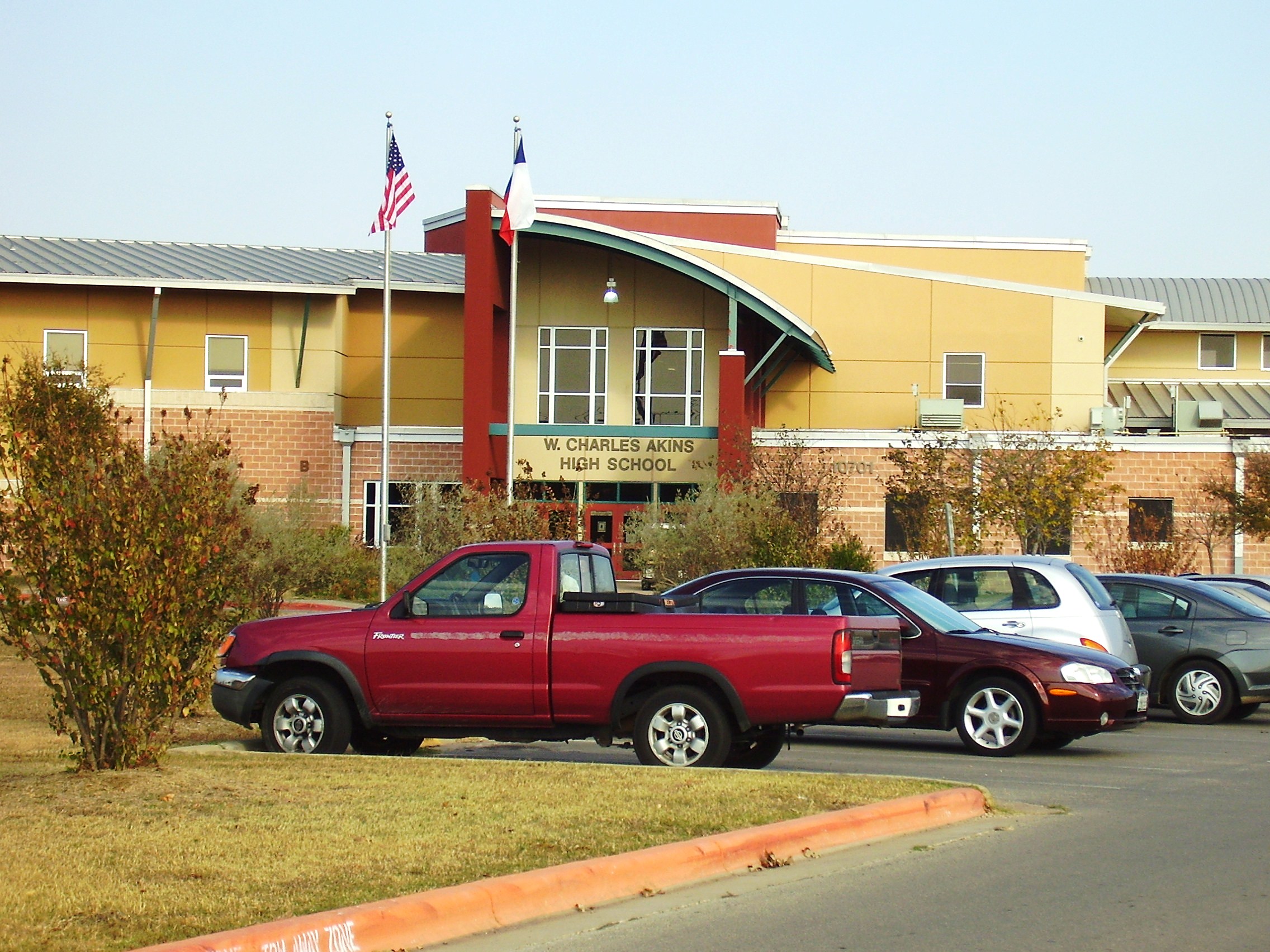
Manchaca is within the Austin Independent School District. Residents are zoned to Menchaca Elementary School in the Manchaca community, Paredes Middle School in Austin, and Akins High School in Austin.[8] A K-12 private school, Austin Christian Academy, is in the Manchaca community.[9]
The community's first school opened in the 1890s. The common school district serving Manchaca, which had two grade schools for White students and one grade school for Black students in the 1930s, became the focus of the community. The district joined forces with Oak Hill to form a rural high school district in 1961. AISD annexed the entire high school district in 1967.[2] Menchaca Elementary School was built in 1977.[10] Paredes Middle School opened in January 2000.[11] Akins High School opened in August 2000.[12] Austin Christian Academy opened in September 2003.[13]
Gallery of schools
-

Paredes Middle School
-

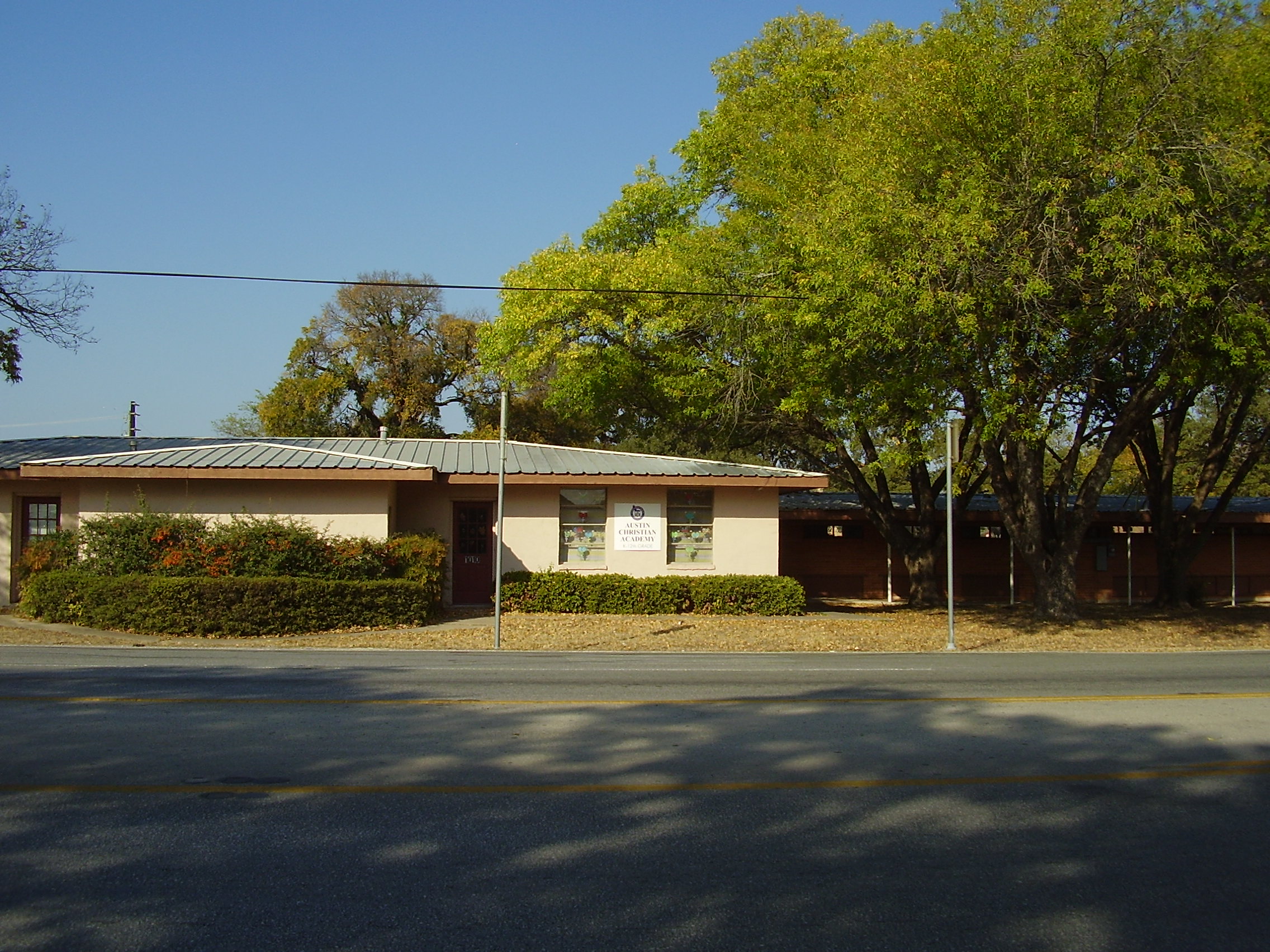
Austin Christian Academy
References
- ^ Austin History Center: Just Outside Austin, Rural Travis County Communities: Manchac, http://www.ci.austin.tx.us/library/ahc/outside/manchaca.htm, accessed 26 Dec 2009.
- ^ a b Manchaca, Texas from the Handbook of Texas Online
- ^ Home Page. Manchaca Volunteer Fire Department. Retrieved on November 21, 2008.
- ^ Map of precincts. Travis County, Texas. Retrieved on November 22, 2008.
- ^ "House District 27" Map. "Texas House of Representatives. Accessed March 28, 2011.
- ^ "Senate District 25" Map. Senate of Texas. Retrieved March 28, 2011.
- ^ "Congressional District 25." National Atlas of the United States. Retrieved on March 28, 2011.
- ^ "School Assignment by Residential Address." Austin Independent School District. Retrieved on November 22, 2008.
- ^ http://www.trulia.com/schools/TX-Austin/Austin_Christian_Academy/
- ^ "Campus Facts." Menchaca Elementary School. Retrieved on November 22, 2008.
- ^ "Campus Facts." Paredes Middle School. Retrieved on November 22, 2008.
- ^ "A Brief Biography of Our Namesake." Akins High School. Retrieved on November 22, 2008.
- ^ "About Us." Austin Christian Academy. Retrieved on November 22, 2008.
External links
- Manchaca Volunteer Fire Department
- Manchaca, Texas from the Handbook of Texas Online
Municipalities and communities of Travis County, Texas Cities Austin‡ | Bee Cave | Cedar Park‡ | Creedmoor | Elgin‡ | Jonestown | Lago Vista | Lakeway | Leander‡ | Manor | Mustang Ridge‡ | Pflugerville‡ | Rollingwood | Round Rock‡ | Sunset Valley | West Lake Hills
Villages Briarcliff | Point Venture | San Leanna | The Hills | Volente | Webberville
CDPs Barton Creek | Garfield | Hudson Bend | Jollyville‡ | Lost Creek | Shady Hollow | Wells Branch | Windemere
Unincorporated
communitiesBluff Springs | Cele | Del Valle | Elroy | Kimbro | Littig | Lund | Manchaca | Manda | Marshall Ford | McNeil | New Sweden | Pilot Knob
Footnotes ‡This populated place also has portions in an adjacent county or counties
Categories:- Populated places in Travis County, Texas
- Unincorporated communities in Texas
- Austin – Round Rock metropolitan area


Wikimedia Foundation. 2010.