- Meall Garbh (Càrn Mairg Group)
-
For other uses, see Meall Garbh (disambiguation).
Meall Garbh 
Meall Garbh seen across the headwaters of the Invervar Burn from Càrn Gorm, two km to the SW.Elevation 968 m (3,176 ft) Prominence 104 m (341 ft) Listing Munro Translation rough hill (Gaelic) Pronunciation Scottish Gaelic: [ˈmjaulˠ̪ ˈkaɾav] Location Location Perth and Kinross,  Scotland
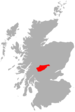
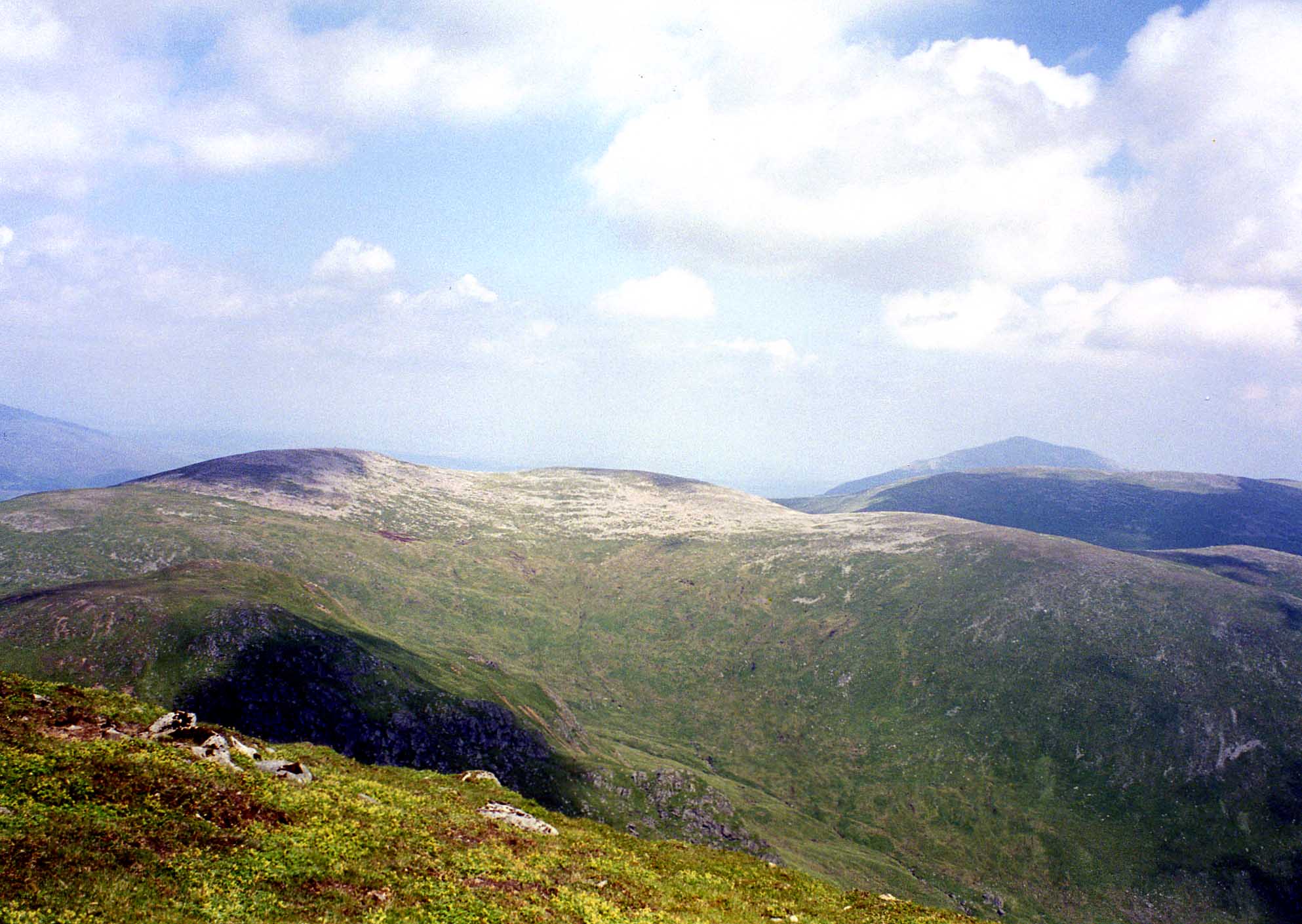
Range Grampians Topo map OS Landranger 51 OS grid NN646517 Meall Garbh is a mountain on the north side of Glen Lyon in the Scottish Highlands. The flat summit of the hill is has two tops of almost equal height, the north-west one being considered the higher.
Meall Garbh is usually climbed as part of a circuit of the watershed of the Invervar burn, a 14 kilometre route taking four Munros. If done clockwise Meall Garbh is the second summit reached, following Càrn Gorm. The following two summits are Càrn Mairg and Meall nan Aighean.
The summit cairn of Meall Garbh is unusual in that it is composed of old iron stake posts, rather than stones.
References
- The Munros, Scotland's Highest Mountains, Cameron McNeish, ISBN 1 84204 082 0
Footnotes
 An Stùc · Beinn Achaladair · Beinn Challuim · Beinn a' Chreachain · Beinn Dòrain · Beinn an Dòthaidh · Beinn Ghlas · Beinn Heasgarnich · Ben Lawers · Beinn Mhanach · Càrn Gorm · Càrn Mairg · Creag Mhòr · Meall Corranaich · Meall nan Aighean · Meall Buidhe · Meall a' Choire Leith · Meall Ghaordaidh · Meall Garbh (Càrn Mairg Group) · Meall Garbh (Lawers Group) · Meall Glas · Meall Greigh · Meall nan Tarmachan · Schiehallion · Sgiath Chùil · Stuchd an Lochain
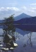
Coordinates: 56°38′15″N 4°12′33″W / 56.63749°N 4.20923°W
Categories:- Munros
- Mountains and hills of the Southern Highlands
- Mountains and hills of Perth and Kinross
- Highland geography stubs


Wikimedia Foundation. 2010.