- Meall Greigh
-
Meall Greigh 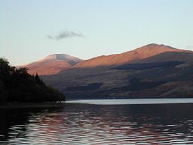
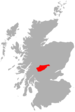
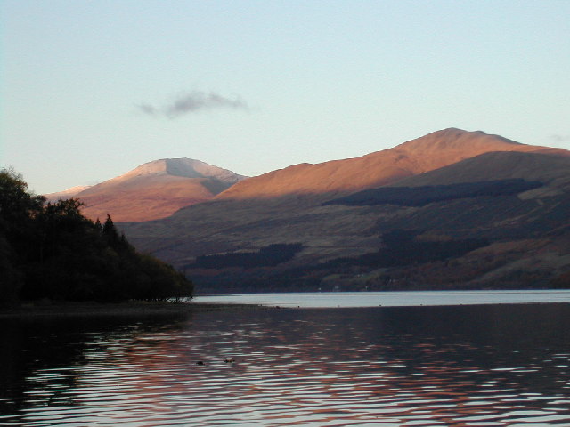
Ben Lawers (left) and Meall Greigh (right) above Loch Tay, November 2003Elevation 1,001 m (3,284 ft) Listing Munro, Marilyn Translation Hill of the Horse Studs (Gaelic) Pronunciation Scottish Gaelic: [ˈmjalˠ̪ ˈkɾʲe] Location Location Perth and Kinross,  Scotland
Topo map OS Landranger 51 OS grid NN674438 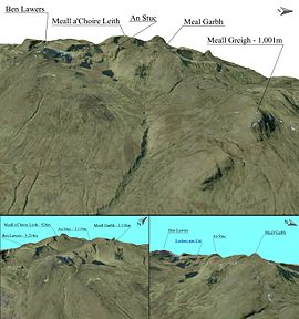 Meall Greigh 3D map
Meall Greigh is a mountain in the southern part of the Scottish Highlands. With Meall Garbh it forms the north-eastern end of the Ben Lawers range.
 An Stùc · Beinn Achaladair · Beinn Challuim · Beinn a' Chreachain · Beinn Dòrain · Beinn an Dòthaidh · Beinn Ghlas · Beinn Heasgarnich · Ben Lawers · Beinn Mhanach · Càrn Gorm · Càrn Mairg · Creag Mhòr · Meall Corranaich · Meall nan Aighean · Meall Buidhe · Meall a' Choire Leith · Meall Ghaordaidh · Meall Garbh (Càrn Mairg Group) · Meall Garbh (Lawers Group) · Meall Glas · Meall Greigh · Meall nan Tarmachan · Schiehallion · Sgiath Chùil · Stuchd an Lochain
Coordinates: 56°34′03″N 4°09′34″W / 56.56737°N 4.15956°W
Categories:- Munros
- Marilyns of Scotland
- Mountains and hills of the Southern Highlands
- Mountains and hills of Perth and Kinross
- Perth and Kinross geography stubs


Wikimedia Foundation. 2010.