- Nickerie District
-
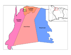
 Map of Suriname showing Nickerie district
Nickerie is a district of Suriname, on the north-west coast. Nickerie's capital city is Nieuw-Nickerie, the second largest city in the country. Other towns include Washoda and Wageningen. The district borders the Atlantic Ocean to the north, the Surinamese district of Coronie to the east, the Surinamese district of Sipaliwini to the south and Guyana to the west.
Nickerie has a population of 41,080 and an area of 5,353 km².
Relations between Suriname and neighbouring Guyana have always been tense, and border disputes in the south of the country (with occasional sporadic fighting) mean that ports of entry to Guyana from Suriname are few. However, there is a ferry that sails between Molson Creek in Guyana and the district of Nickerie. Nickerie population consisted of Hindustani, Javanese, Creole, Chinese, and Portuguese
Bananas and rice are the main crops grown in Nickerie.
Resorts
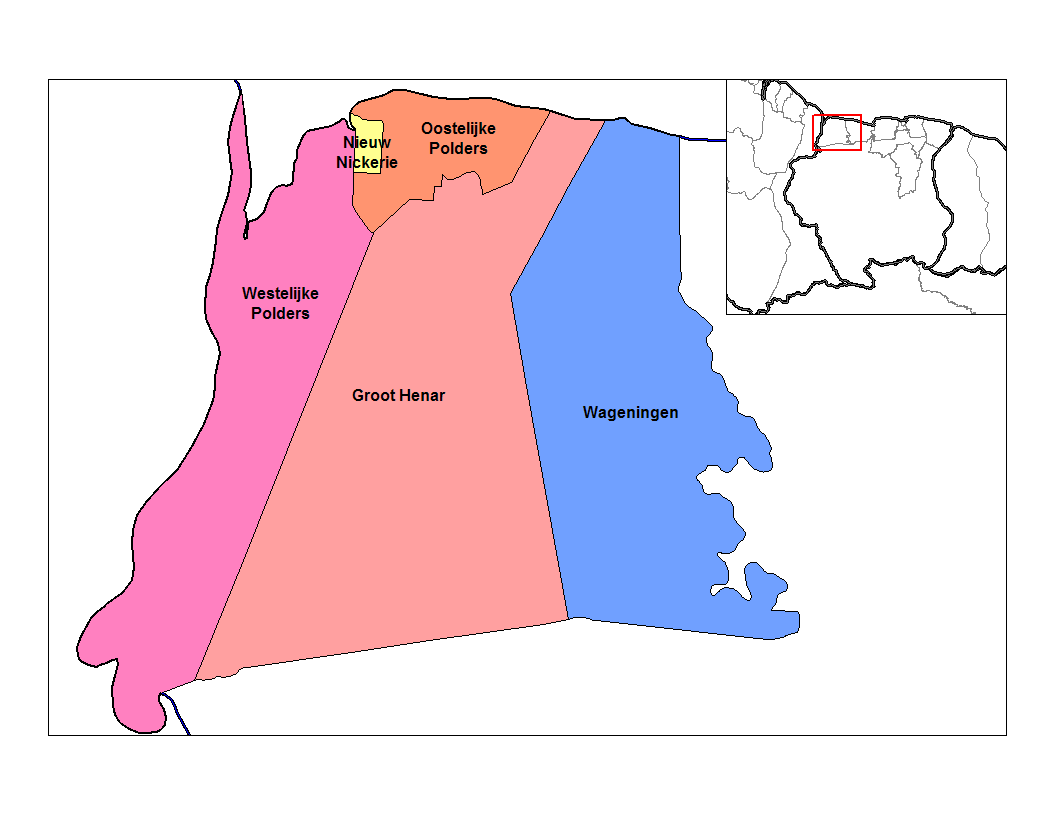
 Resorts of Nickerie
Nickerie is divided into 5 resorts (ressorten):
- Groot Henar
- Nieuw Nickerie Resort
- Oostelijke Polders
- Wageningen
- Westelijke Polders
Coordinates: 5°46′02″N 56°52′13″W / 5.76722°N 56.87028°W
Categories:- Districts of Suriname
- Nickerie District
- Suriname geography stubs

Wikimedia Foundation. 2010.