Commewijne District

Commewijne District
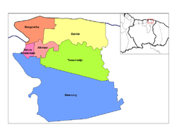
Map of Suriname showing Commewijne district

Commewijne is a district of Suriname, located on the right bank of the Suriname River. Commewijne's capital city is Nieuw Amsterdam. Alliance is another major town.

The district has a population of 25,200 and an area of 2,353 km².

One of the most populated of Suriname's districts, Commewijne relies primarily on agriculture for its income, with plantations dating back to the first Dutch colonisation of the area in the 17th century.

Along with numerous small colonial forts, Nieuw Amsterdam is the home of a large fortress built to protect the Commewijne area during the Second Anglo-Dutch War.

Resorts

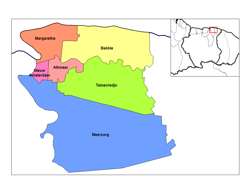
Resorts of Commewijne

Commewijne is divided into 6 resorts (ressorten):

Towns

  • Ephrata

Coordinates: 5°52′11″N 54°55′11″W / 5.86972°N 54.91972°W / 5.86972; -54.91972


Wikimedia Foundation. 2010.

Игры ⚽ Нужна курсовая?

Look at other dictionaries:

  • Commewijne River — (Sranan Tongo: Kawina liba) is a river in northern Suriname (estuary located at around …   Wikipedia

  • Commewijne — may refer to: Commewijne District Commewijne River This disambiguation page lists articles about distinct geographical locations with the same name. If an internal link led you here, you may wish to change th …   Wikipedia

  • Commewijne — Distrikt Commewijne Lage von Distrikt Commewijne in Suriname Daten …   Deutsch Wikipedia

  • Commewijne — est un district du Suriname. v · Districts du Suriname Brokopondo · Commewijne · Coronie · M …   Wikipédia en Français

  • District de Sipaliwini — Sipaliwini Localisation du district de Sipaliwini sur la carte du Suriname Sipaliwini est l un des districts du Suriname. Le district n a aucune capitale. Resorts …   Wikipédia en Français

  • Marowijne District — Map of Suriname showing Marowijne district Marowijne is a district of Suriname, located on the north east coast. Marowijne s capital city is Albina, with other towns including Moengo and Wanhatti. The district borders the Atlantic Ocean to the… …   Wikipedia

  • Coronie District — Map of Suriname showing Coronie district Coronie is a district of Suriname, situated on the coast. Coronie s capital city is Totness, with other towns including Corneliskondre, Friendship, Jenny. The district border the Atlantic Ocean to the… …   Wikipedia

  • Nickerie District — Map of Suriname showing Nickerie district Nickerie is a district of Suriname, on the north west coast. Nickerie s capital city is Nieuw Nickerie, the second largest city in the country. Other towns include Washoda and Wageningen. The district… …   Wikipedia

  • Saramacca District — Coordinates: 5°46′57″N 55°37′29″W / 5.7825°N 55.62472°W / 5.7825; 55.62472 …   Wikipedia

  • Sipaliwini (district) — Sipaliwini Localisation du district de Sipaliwini sur la carte du Suriname Sipaliwini est l un des districts du Suriname. Le district n a aucune capitale. Resorts …   Wikipédia en Français

Share the article and excerpts

Direct link
Do a right-click on the link above
and select “Copy Link”