- Manton, Nottinghamshire
-
Coordinates: 53°18′N 1°07′W / 53.30°N 1.11°W
Manton
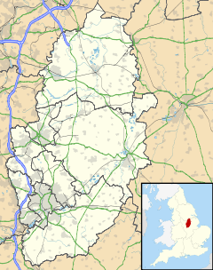
 Manton shown within Nottinghamshire
OS grid reference SK595785 District Bassetlaw Shire county Nottinghamshire Region East Midlands Country England Sovereign state United Kingdom Post town WORKSOP Postcode district S80 Dialling code 01909 Police Nottinghamshire Fire Nottinghamshire Ambulance East Midlands EU Parliament East Midlands UK Parliament Bassetlaw List of places: UK • England • Nottinghamshire Manton is a former mining village and suburb of south-east Worksop, north Nottinghamshire. Manton Colliery was one of the few pits in the county to generally support the strike in 1984-5. David Peace's book GB84 often refers to Manton, but mistakenly puts it in South Yorkshire.
The book describes Manton as being in South Yorkshire as it was part of the South Yorkshire coalfield and supported the National Union of Mineworkers despite being in north Nottinghamshire. Hence, it supported the strike while other pits in north Nottinghamshire did not back the strike
As one may imagine Manton's main source of employment for 100 years or thereabouts was the Colliery sunk by The Wigan Coal Company in the late 19th century. The pit village was constructed soon afterwards to accommodate the families of miners who came from many parts of the country to secure employment. Initially there was much bickering and fighting between these "Mantoners" but in time, when the winning of coal became the main goal for all, friendships where forged between the men at work or over a well earned pint in the pub after work. Manton was initially separate from Worksop but was eventually joined to the town when the council estates where built in the 1950s and 1960s.
External links
 Media related to Manton, Nottinghamshire at Wikimedia CommonsCategories:
- Villages in Nottinghamshire
- Nottinghamshire geography stubs
Wikimedia Foundation. 2010.

