- Nyngan, New South Wales
-
Nyngan
New South Wales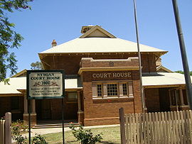
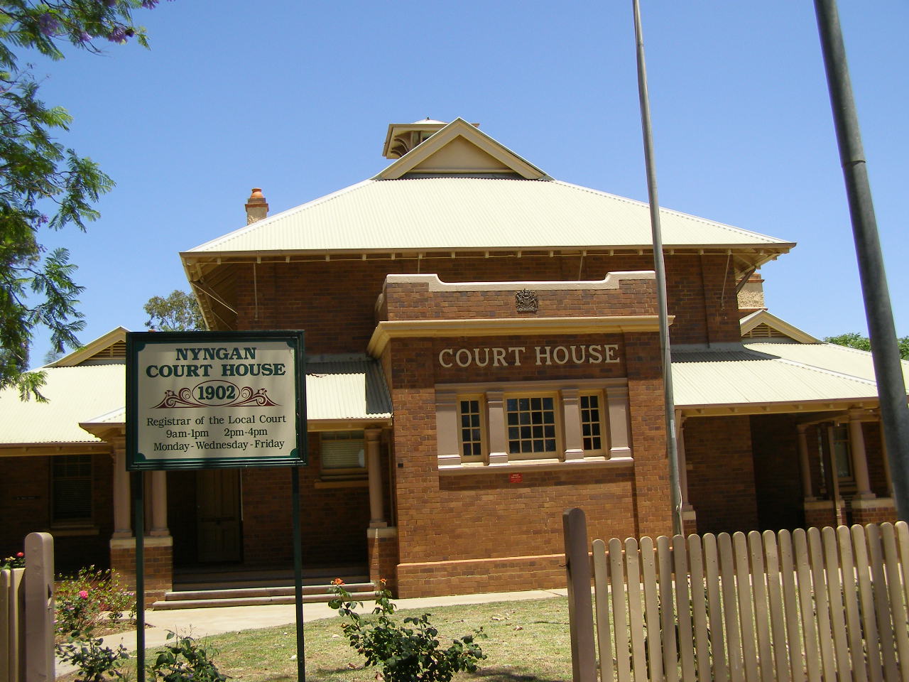
Court house, Nyngan
 Nyngan
Population: 1,975 (2006 Census)[1] Postcode: 2825 Coordinates: 31°34′S 147°12′E / 31.567°S 147.2°ECoordinates: 31°34′S 147°12′E / 31.567°S 147.2°E Elevation: 173 m (568 ft) Location: LGA: Bogan Shire State District: Barwon Federal Division: Parkes Mean max temp Mean min temp Annual rainfall 25.7 °C
78 °F11.6 °C
53 °F438.9 mm
17.3 inNyngan [pr: ning-g'n] is a town in the central west of New South Wales, Australia. It is located in the Bogan Shire Local Government Area. At the 2006 census, Nyngan had a population of 1,975 people.[1] Nyngan is situated on the Bogan River between Narromine and Bourke, on the junction of the Mitchell Highway and Barrier Highway, 583 km north-west of Sydney. The Barrier Highway starts at Nyngan, and runs west to Cobar and on through Wilcannia and Broken Hill into South Australia.
It is on the Main Western railway line of New South Wales but is no longer served by passenger trains. The line remains open to freight traffic.
Contents
History
The district was originally inhabited by the Ngiyambaa Aborigines. Thomas Mitchell explored the Bogan River in 1835, camping on the future townsite. He recorded the local Aboriginal word nyingan, said to mean 'long pond of water', though other meanings have been put forward, such as mussel or crayfish.[2]. Squatters had settled in Mitchell's wake before he had begun his return journey.[3]
The 1990 Nyngan floods
In April 1990, unusually heavy rains caused major flooding in the town, despite a massive effort by local people to build levee walls using sandbags. With the town almost completely flooded, all the residents had to be evacuated by helicopter from the railway station, the highest point of the town, which was not flooded. Army helicopters, TV news helicopters and private helicopters all cooperated in the airlift. The total damage amounted to $50 million.
The airlift is commemorated by an Army helicopter placed outside of the Nyngan Railway Station. The helicopter took only a few minutes to arrive.
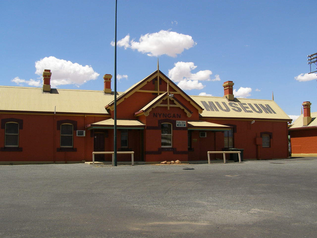
Ironically, the flood damage to railway tracks provided the justification to withdraw passenger railway services to Nyngan and the railway station is now a museum.[4]
Gallery
-
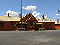
Railway station (now museum), Nyngan
-
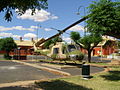
Helicopter commemorating the airlift during the 1990 floods
References
- ^ a b Australian Bureau of Statistics (25 October 2007). "Nyngan (Urban Centre/Locality)". 2006 Census QuickStats. http://www.censusdata.abs.gov.au/ABSNavigation/prenav/LocationSearch?collection=Census&period=2006&areacode=UCL161600&producttype=QuickStats&breadcrumb=PL&action=401. Retrieved 9 November 2009.
- ^ "Nyngan". Geographical Names Board of New South Wales. http://www.gnb.nsw.gov.au/name_search/extract?id=ujIOwpKman. Retrieved 9 November 2009.
- ^ http://www.smh.com.au/travel/travel-factsheet/nyngan--culture-and-history-20081117-6901.html
- ^ Bogan Shire Council: About: The Floods of April 1990
Preceding station NSW Main lines Following station Girilambonetowards BourkeMain Western Line Warrigaltowards SydneyPreceding station NSW Branch lines Following station Tikkaratowards CobarCobar Line Terminus Categories:- Towns in New South Wales
- Central West, New South Wales
- Australian Aboriginal placenames
- New South Wales geography stubs
-


Wikimedia Foundation. 2010.