- Narromine, New South Wales
-
Narromine
New South Wales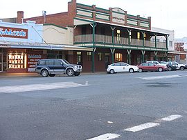
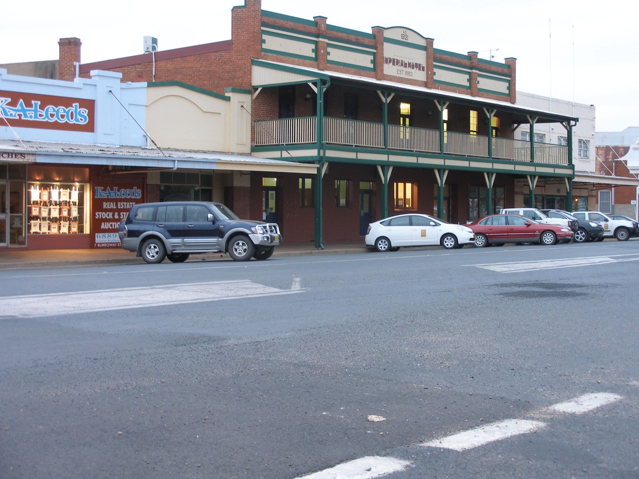
Imperial Hotel
 Narromine
Population: 3,599 (2006 Census)[1] Postcode: 2821 Location: LGA: Narromine Shire Federal Division: Parkes Narromine is a town located about 40 kilometres west of Dubbo in the Orana region of New South Wales, Australia. It is the centre of Narromine Shire. At the 2006 census, Narromine had a population of 3,599 people.[1] The town name comes from a pastoral property, which in turn came from an Aboriginal word for 'honey person'.[2][3]
The first European to visit the district was John Oxley who traced the course of the Macquarie River in 1818.[4]
The town was established after the arrival of the Main West railway line on 20 October 1882, the railway platforms being the first structures in the town.[5]
The area is a popular area for gliding and the growing of citrus fruits. The Macquarie River passes through the town. The main road from Dubbo to the west also passes through, this being the Mitchell Highway named after the early explorer Sir Thomas Mitchell. The area is characterised by hot summers and mild winters.
Contents
Personalities
The town of Narromine has produced several success stories, most recently sports personalities Glenn McGrath (Australian cricket team: Fast bowler ), Melinda Gainsford-Taylor (Sprinter: Commonwealth games medalist), Disney animator Adam Phillips and Justin Smith (rugby league: North Queensland Cowboys). Other notable sportsmen to represent Australia at the International level include David Gillespie (Australian Rugby League) and David Jahnsen (International Gliding Championships)
Sporting teams
Narromine is heavily involved in regional sport. As a result of Narromine's proud sporting heroes this town has a great involvement in a number of different sports.
In Rugby league Narromine is represented by the Narromine Jets in the Group 11 Country Rugby League competition. Narromine has had a significant amount of success in this competition. Particularly, in 2002/2003 when their U18's took out the Group 11 competition with relative ease. The team defeated Dubbo Cyms in the 2002 grand final after completing the regular season undefeated. In 2003 the team lost only one game before defeating Dubbo Macquarie Raiders in a one sided affair.
References
- ^ a b Australian Bureau of Statistics (25 October 2007). "Narromine (Urban Centre/Locality)". 2006 Census QuickStats. http://www.censusdata.abs.gov.au/ABSNavigation/prenav/LocationSearch?collection=Census&period=2006&areacode=UCL159600&producttype=QuickStats&breadcrumb=PL&action=401. Retrieved 7 November 2009.
- ^ "Narromine". Geographical Names Board of New South Wales. http://www.gnb.nsw.gov.au/name_search/extract?id=ujKqFxsEMa. Retrieved 7 November 2009.
- ^ "PLACE NAMES.". The Australian Women's Weekly (1932-1982) (1932-1982: National Library of Australia): p. 61. 13 May 1964. http://nla.gov.au/nla.news-article55185386. Retrieved 22 February 2011.
- ^ Narromine - A Railway History McKillop, Robert F. Australian Railway Historical Society Bulletin, January, 1997 pp3-22
- ^ Developing the Inland: The Great Western Railway to Bourke McKillop, Bob Australian Railway Historical Society Bulletin, September 2002 pp 328-340.
External links
- Narromine Online - Community website
- Narromine Shire Council - Official Council website
Coordinates: 32°14′S 148°14′E / 32.233°S 148.233°E
Categories:- Towns in New South Wales
- Australian Aboriginal placenames
- Towns in the Central West, New South Wales
- New South Wales geography stubs

Wikimedia Foundation. 2010.