- Balwyn North, Victoria
-
Balwyn North
Melbourne, Victoria
 Balwyn North
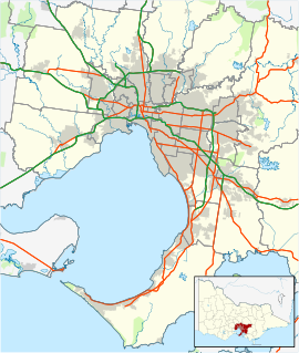
Population: 19,968 (2006)[1] Postcode: 3104 Coordinates: 37°47′37″S 145°5′11″E / 37.79361°S 145.08639°ECoordinates: 37°47′37″S 145°5′11″E / 37.79361°S 145.08639°E Area: 8.9 km² (3.4 sq mi) Location: 11 km (7 mi) from Melbourne LGA: City of Boroondara State District: Kew, Box Hill Federal Division: Kooyong Suburbs around Balwyn North: Ivanhoe East Bulleen Doncaster Kew East Balwyn North Mont Albert North Kew Balwyn Mont Albert North Balwyn North is a suburb in Melbourne, Victoria, Australia, 11 km east from Melbourne's central business district. Its Local Government Area is the City of Boroondara. At the 2006 Census, Balwyn North had a population of 19,968.
The North West part of the suburb is also known as Bellevue and the South East part of the suburb is also known as Greythorn (which is home to the Greythorn Shopping Strip on Doncaster Road).
Located in Balwyn North are several primary schools such as Greythorn, Balwyn North, Bellevue, Boroondara Park, St Bridget's and St. Bede's. Also, Balwyn High School is located on Buchanan Avenue. In addition, on Balwyn Road is Fintona Girls' School just south in nearby Balwyn. The main shopping strip is 'The Village' on Doncaster Road, east of the intersection with Bulleen Road.
Bicycle tracks connect with the Main Yarra Trail, along the Yarra River and the Eastern Freeway. Tram route 48 passes through Balwyn North, running along Doncaster Road and terminating at the intersection with Balwyn Road. A number of bus routes connect Balwyn North with suburbs such as Box Hill, Doncaster and Templestowe. Also, a number of freeway bus services have stops at the entrance of the Eastern Freeway on the northern edge of the suburb.
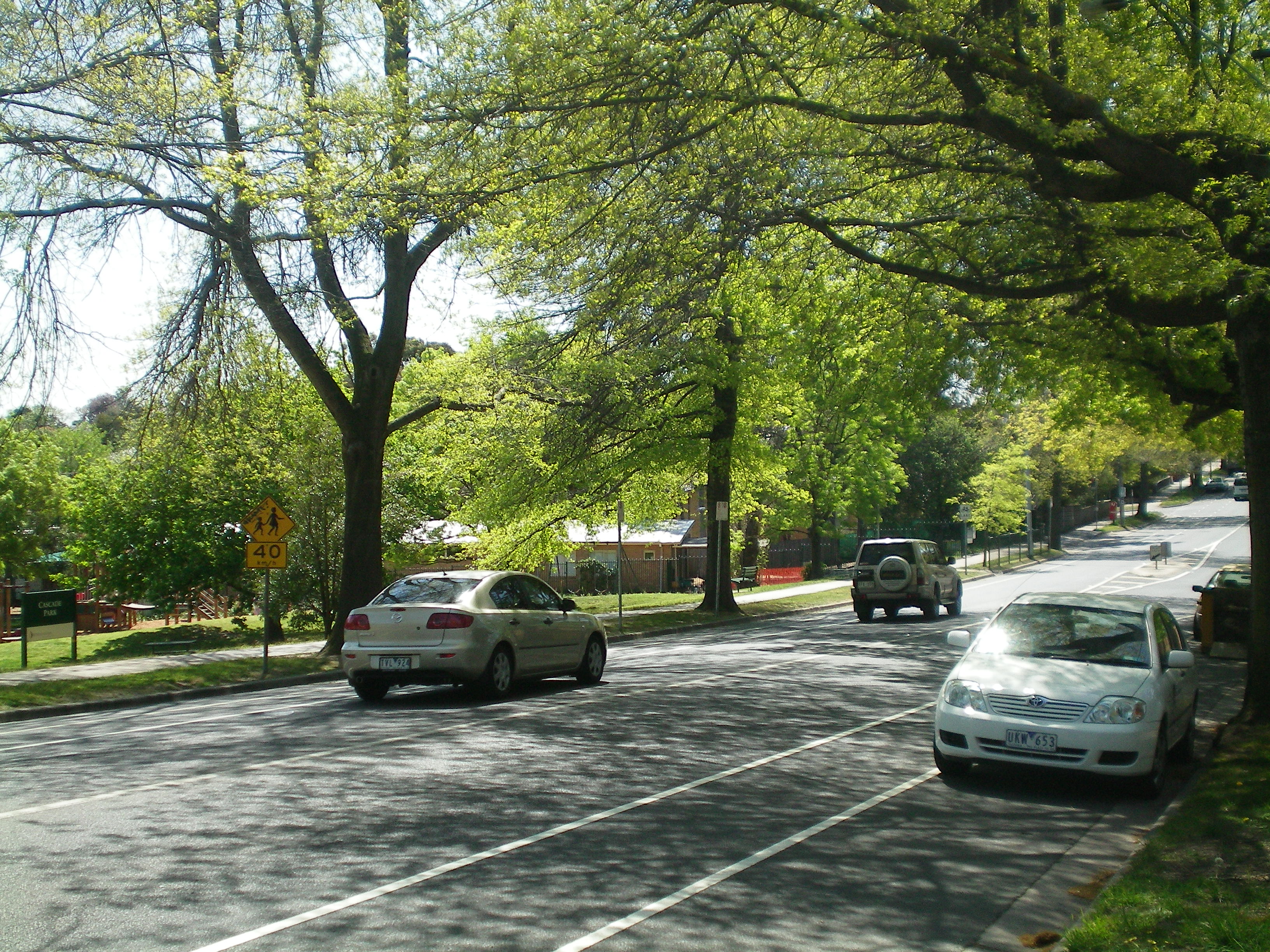
Balwyn North (commonly known as 'North Balwyn') was one of the first Melbourne suburbs to be developed according to the pattern of postwar suburbia, with expansive, quiet residential areas designed as family homes and relatively few business districts.
A Balwyn North Post Office opened on 1 April 1937. This was renamed Burke Road in 1941, when a new Balwyn North office opened at its current location. The Greythorn Post Office opened in 1951.[2]
Golfers play at the course of Freeway Golf on Columba Street, Balwyn North.[3] The post-war residential character of the suburb is gradually being eroded by the demolition of original houses surrounded by trees and gardens. These are being progressively replaced by large multi-storey houses which occupy the whole allotment leaving very little space for gardens. Accordingly, there is a high rainfall run off with less ground area for the absorption of water for trees. Many of the initial residents planted native trees and shrubs which attracted birdlife, but this is gradually being eliminated by development.[citation needed]
See also
- City of Camberwell - the former local government area of which North Balwyn was a part.
References
- ^ Australian Bureau of Statistics (25 October 2007). "Balwyn North (State Suburb)". 2006 Census QuickStats. http://www.censusdata.abs.gov.au/ABSNavigation/prenav/LocationSearch?collection=Census&period=2006&areacode=SSC21051&producttype=QuickStats&breadcrumb=PL&action=401. Retrieved 2007-09-26.
- ^ Premier Postal History, Post Office List, https://www.premierpostal.com/cgi-bin/wsProd.sh/Viewpocdwrapper.p?SortBy=VIC&country=, retrieved 2008-04-11
- ^ Golf Select, Freeway, http://www.golfselect.com.au/armchair/courseView.aspx?course_id=2105, retrieved 2009-05-11
Suburbs of the City of Boroondara | Melbourne | Victoria Ashburton · Balwyn · Balwyn North · Camberwell · Canterbury · Deepdene · Glen Iris · Hawthorn · Hawthorn East · Kew · Kew East · Mont Albert · Surrey Hills
Categories:- Suburbs of Melbourne

Wikimedia Foundation. 2010.