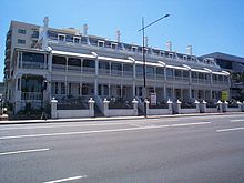
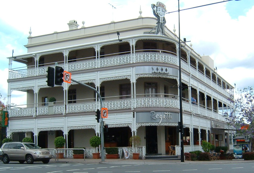
- Coronation Drive, Brisbane
-
Coronation Drive 
Length 4 km (2 mi) Direction North East - South West From  Pacific Motorway
Brisbane, QueenslandMajor suburbs Milton To  High Street
(Moggill Road)
Toowong, QueenslandAllocation State Route 33 Coronation Drive
, popularly known as Coro Drive, is a road in Brisbane, Queensland which connects the Central Business District to the suburb of Toowong. It follows the Brisbane River from the Riverside Expressway, through the suburbs of Milton and Auchenflower, until it terminates in Toowong at Benson Road and High Street.Coronation Drive is six lanes wide for the majority of its length, with the Bicentennial Bike Path also for pedestrian and bicycle traffic.
History
Coronation Drive started out as a rough track that developed along the river during the 1840s. It was initially called Moggill Road (because it was the road to Moggill), then later (1870s) it became known as the River Road.[1] In 1937 the River Road was renamed Coronation Drive in honour of the new King George VI, a suggestion made by Archbishop James Duhig. On 13 May 1937, Leslie Orme Wilson (Governor of Queensland) planted a small bunya tree on North Quay, Brisbane to mark the name change. [2] Brisbane Lord Mayor John Beals Chandler undertook the improvement and beautification of the road in order to fulfill his vision of a gracious city.[3]
Coronation Drive developed as the major transport route for the western suburbs along with Milton Road. A landslide caused by flood waters in 1974 closed Coronation Drive due to cracking and subsidance. The flood caused the redirection of Coronation Drive so that traffic inbound to Brisbane City turned left at the Sylvan Road intersection, and then right down Land Street.
In 2004 Coronation Drive was completely redeveloped into its current day form, with the redirection removed and widening to allow 6 lanes of traffic. Former Lord Mayor Jim Soorley inaugurated a series of "tidal flow" traffic lights in both directions, as well as a dedicated bus lane, in order to ease congestion along the road. Upon the election of Campbell Newman, the bus lanes were changed to T3 Transit Lanes with three occupants required. In March 2007 the T3 transit lane restrictions were removed after Campbell Newman requested the change based on analysis showing that only 5% of vehicles actually use the T3 lane. The Labor opposition did not block the change.[4]
In September 2008, the Council announced a decision to scrap the Tidal Flow System after conceding it as a failure.[5] This decision was influenced by the construction of the Hale Street Bridge and also the maintenance cost of the system, amounting to $600,000 each year, with a further $7 million in repairs.[6] Instead, 3 permanent lanes will be inbound to the city and 2 lanes outbound. Statistics show that more traffic travels inbound than outbound at both morning and afternoon peak hours.[5] One of the inbound lanes will be made into a T2 lane once the Hale Street Bridge project is well developed.[7]
Tidal Flow System
The Coronation Drive Tidal Flow System was implemented to improve traffic flow along the routinely congested road. It consists of overhead gantries displaying white arrows or red crosses to indicate which lanes can be driven in, LED signs on approach that indicate current lanes open, LED catseye markers embedded in the road that are turned on and off to move the median line and boom gates that swing into the lanes when closed to stop use of the closed lane.
The Tidal Flow System was heavily criticised by the public for a number of reasons. These included the perception that the lane system was confusing and caused road accidents, especially when drivers were required to make turns on or off the tidal flow system. Lights in the road meant to guide drivers were often broken and during daylight hours were hard to discern. In particular, the right hand turn from Coronation Drive onto Lang Street (outbound) has two lanes and drivers were routinely confused as to which lane on Lang street they should turn into.
The Tidal Flow System was well over budget, with the cost of the system far higher than originally planned. The system was prone to vandalism, in particular the boom gates used to block off lanes were routinely hit by vehicles. Critics claim that the tidal flow system has not been effective in improving traffic flow. The primary reason given is due to traffic in both directions being high at peak hour due to the University of Queensland bound traffic balancing the city bound traffic. The tidal flow system did not close lanes due to traffic accidents or roadworks, instead, traditional vehicles and signage were used, leaving a much touted feature of the system unutilised. Out of state or overseas drivers tended to not understand the system and its dynamic lanes, thus were likely to end up driving in T3/Bus lanes or not merging when they should.
The Tidal Flow System was dismantled and removed at the end of 2008 after a decision by the Brisbane City Council. A similar system is operated on the Houghton Highway across Bramble Bay at Redcliffe until the opening of the Ted Smout Memorial Bridge in 2011.
References
- ^ History of a street name - West Toowong, accessed 8 March 2011.
- ^ "IN OTHER CITIES.". The Advertiser (Adelaide, SA : 1931-1954) (Adelaide, SA: National Library of Australia): p. 31. 14 May 1937. http://nla.gov.au/nla.news-article41643845. Retrieved 5 March 2011.
- ^ Laverty, John (1997), "John Beals Chandler: The little man at City Hall", in Shaw, Barry, Brisbane:Corridors of Power, Papers, 15, Brisbane: Brisbane History Group Inc, p. 166, ISBN 0958646910
- ^ Courier Mail Article on Removing T3 lanes
- ^ a b Tony Moore (27 August 2008). Coro Drive lane system 'a failure'. Brisbane Times.
- ^ (1 September 2008). Coronation Drive's tidal flow system scrapped. ABC News. Australia Broadcasting Corporation.
- ^ Tony Moore (2 September 2008). Months to ditch Coro Drive 'expensive flop'. Brisbane Times.
Categories:- Roads in Brisbane

Wikimedia Foundation. 2010.