Moggill Road

Moggill Road
Route information
Length: 27 km (17 mi)
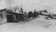
Moggill Road, Taringa, 1907
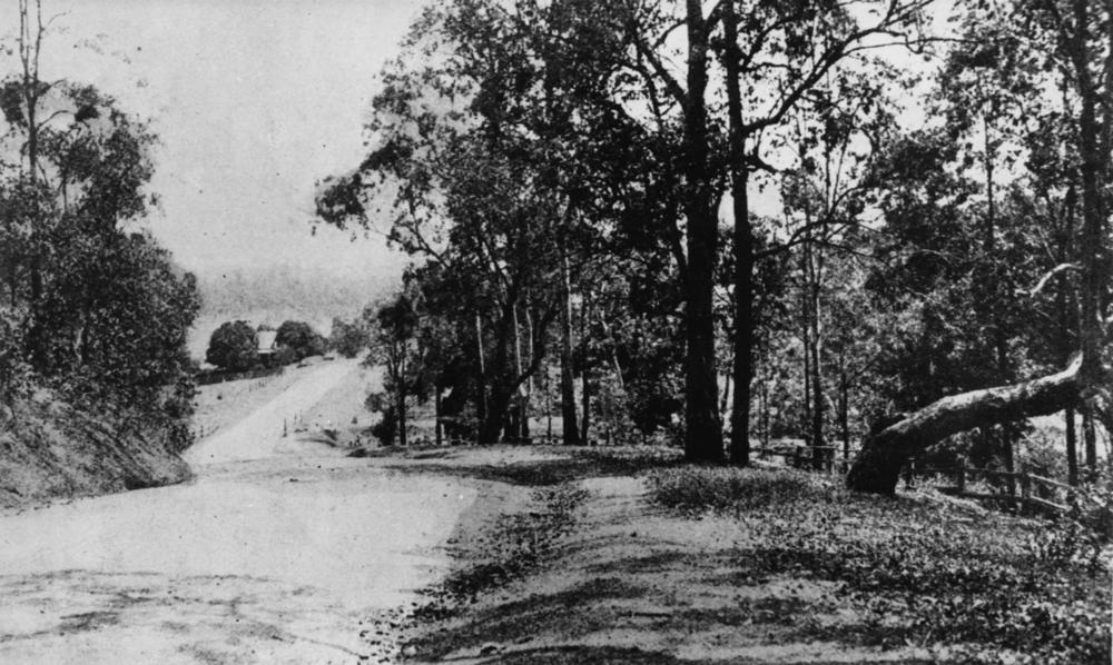
Moggill Road, Taringa, ca.1920
Moggill Road, Indooroopilly, 1921
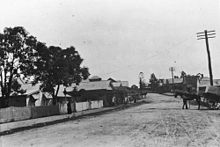
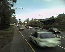
Moggil Road in Taringa
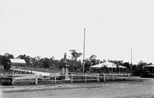
Moggill Road and Brookfield Road, Kenmore, 1925

Moggill Road is a major road in Brisbane. It goes under the 32 number. It starts at the Moggill Ferry in Moggill and finishes at High Street at Toowong.

It stretches 27 kilometers. $14 million worth of road works started in 2010, $32 million in 2009, following a further $27 million completed in 2008.

The road was flooded during the 2010-2011 Queensland floods.

See also

References


Wikimedia Foundation. 2010.

Игры ⚽ Нужно сделать НИР?

Look at other dictionaries:

  • Moggill, Queensland — Moggill redirects here. For the Queensland electoral division, see Electoral district of Moggill. Moggill Brisbane, Queensland Population: 2,145 (2006 census) Postcode …   Wikipedia

  • Moggill Ferry — Moggill Ferry, 1928 …   Wikipedia

  • Brisbane road routes 31-60 — Routes 31 to 40 = Australian road routes table extended state = Queensland route shield = AUSR31.png route type = State Route route number = 31 from locality = Dundas to locality = Brisbane via locality1 = Mount Glorious via locality2 = Mount… …   Wikipedia

  • Kenmore, Queensland — Infobox Australian Place | type = suburb name = Kenmore city = Brisbane state = qld caption = lga = Brisbane City Council, Pullenvale Ward [ [http://www.brisbane.qld.gov.au/BCC:STANDARD::pc=PC 58 Pullenvale Ward Brisbane City Council ] ] postcode …   Wikipedia

  • Bellbowrie, Queensland — Infobox Australian Place | type = suburb name = Bellbowrie city = Brisbane state = qld caption = Statistical Portrait, Brisbanes Outer West Region lga = Brisbane City Council postcode = 4070 pop = 4,995 (2006 census) pop footnotes = [Census 2006… …   Wikipedia

  • Chapel Hill, Queensland — Chapel Hill Brisbane, Queensland Population: 10,638 (2004)[1] Postcode: 4069 …   Wikipedia

  • Chuwar, Queensland — Chuwar Brisbane, Queensland Population: 1,323 (2006 census)[1] Postcode: 4306 …   Wikipedia

  • Coronation Drive, Brisbane — Coronation Drive Length 4 km (2 mi) Direction North East South West From …   Wikipedia

  • Kenmore Bypass — is a proposal to for a major road linking Moggill Road at Pinjara Hills with the Centenary Highway, bisecting Kenmore, a suburb of Brisbane, Australia.A bypass (the Kenmore Bypass) is currently being proposed to alleviate congestion along Moggil… …   Wikipedia

  • Toowong, Queensland — Infobox Australian Place | type = suburb name = Toowong city = Brisbane state = qld caption = lga = Brisbane City Council, Toowong Ward postcode = 4066 coordinates = coord|152.98406| 27.48664 pop = 14,572 (2004) [… …   Wikipedia

Share the article and excerpts

Direct link
Do a right-click on the link above
and select “Copy Link”