- Desaiganj
-
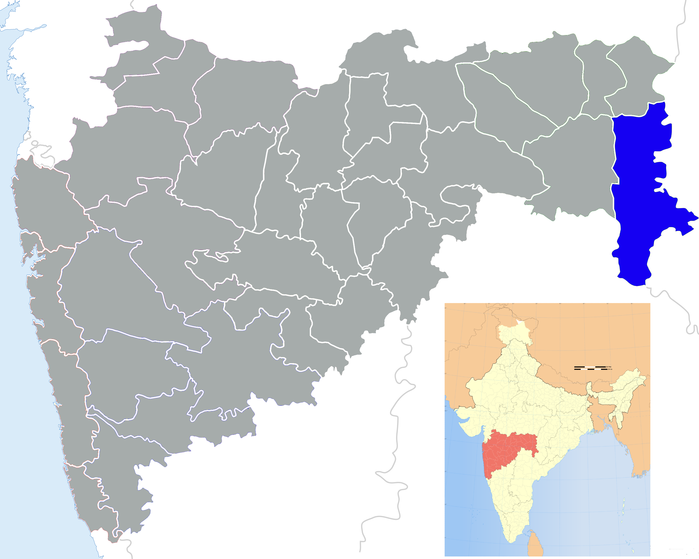
Desaiganj — city — Coordinates Country India State Maharashtra District(s) Gadchiroli Nearest city Brahmapuri Population 24,786 (2001[update]) Time zone IST (UTC+05:30) Desaiganj is a town (a Tahsil Place) and a municipal council in the Gadchiroli district of the state of Maharashtra, India.
Demographics
As of the 2001[update] Indian census[1], Desaiganj had a population of 24,786. Males constitute 51% of the population and females 49%. Desaiganj has an average literacy rate of 69%, higher than the national average of 59.5%. Male literacy is 77%; female literacy is 62%. In Desaiganj, 13% of the population is under 6 years of age.
The town is situated on the banks of river Vainganga and is an agriculture dominated. It is also called as Wadsa with only Railway station in Gadchiroli district. Desaiganj (Wadsa) sub-division consists Wadsa, Armori, Kurkheda and Korchi talukas. There are 467 Gram Panchayats and 1688 Revenue Villages.
Wadsa is the most developed town in whole Gadchiroli District, well connected by Railways & roads to the rest part of India. It's a market hub for Gadchiroli District. It is safe from Naxalite activities. Marathi is widely spoken language here other than Hindi. Wadsa is religiously very balanced & peaceful town; Hindus, Muslims & Sindhis are the major religion dominating Wadsa.
Economics
This is a typical Indian village that mainly relies on farming. The crops produced here are wheat, different types of lentils, cotton, sunflower, groundnut, soybeans etc. There are many small scale industries cropping up,one power plant of 10 mw,one medicine factory and two fertilizer plant. Current Nagar palika president of Desaiganj wadsa is Dr.Mahesh Papadkar.This village is not properely developed due to the dirty politics.All the business are dominated by Sindhi community.This village is still struggling for medical facilities.Everybody has to go to Bramhapuri or Nagpur for any king of medical problem. there is not a proper hospital in this town.
References
- ^ "Census of India 2001: Data from the 2001 Census, including cities, villages and towns (Provisional)". Census Commission of India. Archived from the original on 2004-06-16. http://web.archive.org/web/20040616075334/http://www.censusindia.net/results/town.php?stad=A&state5=999. Retrieved 2008-11-01.
Gadchiroli district topics History 
Geography Cities and towns Transport Culture Lok Sabha constituencies Gadchiroli-ChimurVidhan Sabha constituencies Aheri · Armori · GadchiroliCategories:- Cities and towns in Gadchiroli district
- Talukas in Maharashtra
- Nagpur Division geography stubs
Wikimedia Foundation. 2010.