- Chowwara
-
Chowwara — city — Coordinates 10°08′11″N 76°23′47″E / 10.1363100°N 76.3963800°ECoordinates: 10°08′11″N 76°23′47″E / 10.1363100°N 76.3963800°E Country India State Kerala District(s) Ernakulam Population 13,603 (2001[update]) Time zone IST (UTC+05:30)  Chowara Railway Station Name board
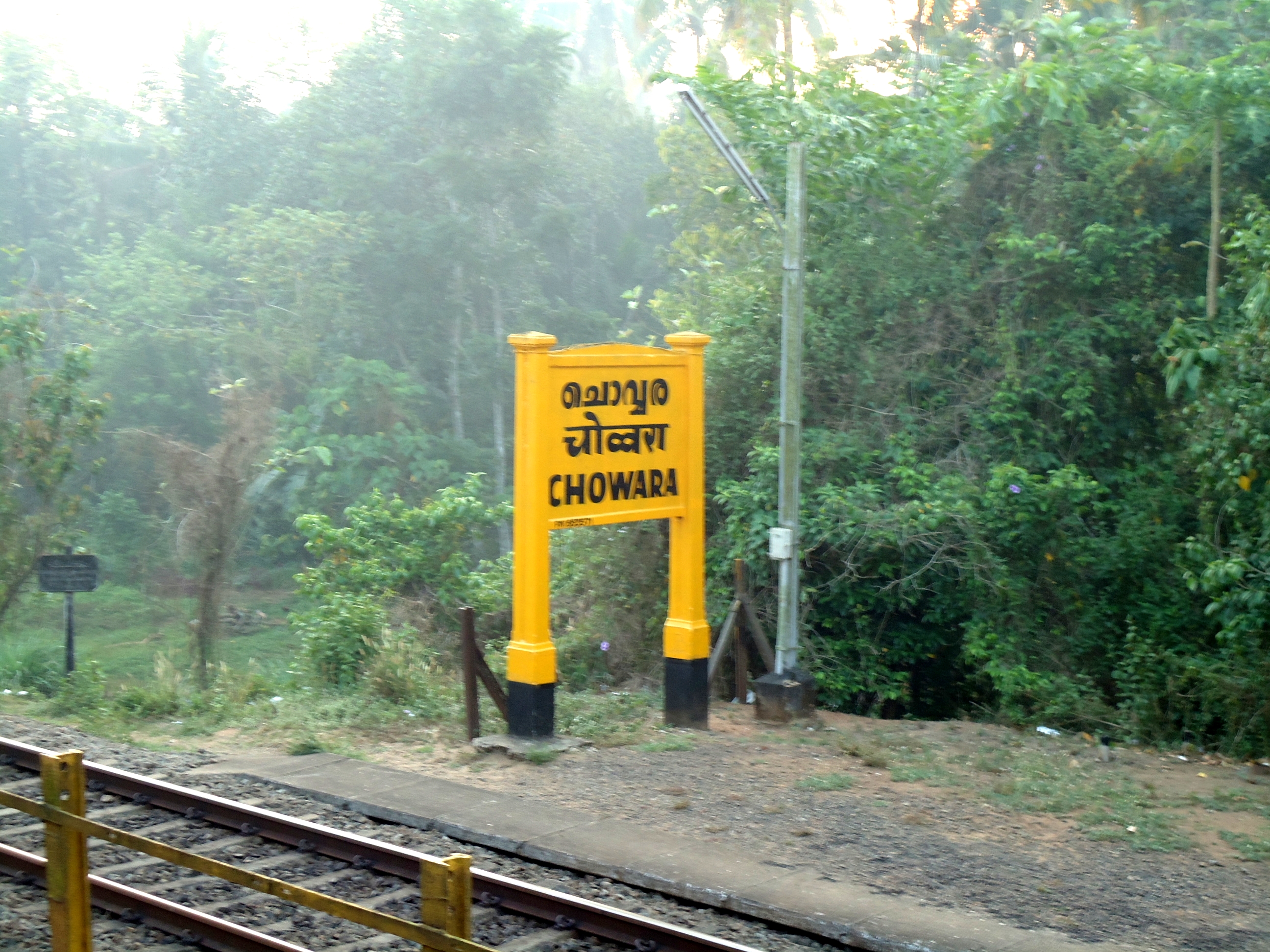
Chowwara is a census town in Ernakulam district in the state of Kerala, India.
Demographics
At the 2001 India census,[1] Chowwara had a population of 13,603. Males constituted 50% of the population and females 50%. Chowwara had an average literacy rate of 79%, higher than the national average of 59.5%: male literacy was 81% and, female literacy was 76%. In Chowwara, 10% of the population was under 6 years of age.
References
- ^ "Census of India 2001: Data from the 2001 Census, including cities, villages and towns (Provisional)". Census Commission of India. Archived from the original on 2004-06-16. http://web.archive.org/web/20040616075334/http://www.censusindia.net/results/town.php?stad=A&state5=999. Retrieved 2008-11-01.
Cities and towns in Ernakulam district Ernakulam Aluva · Angamaly · Ayyampuzha · Chendamangalam · Chengamanad · Cheranallur · Choornikkara · Chottanikkara · Chowwara · Edathala · Eloor · Ernakulam · Kadamakkudy · Kakkanad · Kalamassery · Kanayannur · Kochi · Kolenchery · Kothamangalam · Muvattupuzha · Koothattukulam · Piravom · Kottuvally · Kumbalam · Kunnathunad · Kureekkad · Malayattoor · Maradu · Mulavukad · North Paravur · Perumbavoor · Puthuvypin · Thiruvankulam · Thrikkakara · Thrippunithura · Varappuzha · Vazhakkala · Willingdon Island ·
Cities and towns
in other districtsAlappuzha · Idukki · Kannur · Kasargod · Kollam · Kottayam · Kozhikode · Malappuram · Palakkad · Pathanamthitta · Thiruvananthapuram · Thrissur · Wayanad
Categories:- Cities and towns in Ernakulam district
- Ernakulam district geography stubs
- Suburbs of Kochi city


Wikimedia Foundation. 2010.