- Compton Chamberlayne
-
Coordinates: 51°04′12″N 1°57′35″W / 51.070°N 1.95983°W
Compton Chamberlayne 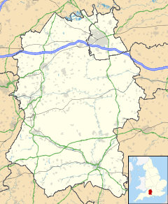
 Compton Chamberlayne
Compton Chamberlayne shown within WiltshirePopulation 100 http://www.wiltshire.gov.uk/community/census_search2.php Unitary authority Wiltshire Ceremonial county Wiltshire Region South West Country England Sovereign state United Kingdom Post town Salisbury Postcode district SP3 Dialling code 01722 Police Wiltshire Fire Wiltshire Ambulance Great Western EU Parliament South West England UK Parliament Salisbury List of places: UK • England • Wiltshire Compton Chamberlayne is a small village in south Wiltshire, straddling the A30 road some 8 miles from Salisbury. It is bounded by the villages of Dinton and Baverstock to the north, Barford St Martin to the east, Fovant to the west and Broad Chalke to the south. On its southern border there is high chalk downland and on its northern border is the River Nadder. There are approximately 25 houses privately owned. There is a village hall in the centre of the village. Abutting the A30 road is the cricket pitch used by the Compton Chamberlayne Cricket Club.
Contents
History
Most of the inhabited part of the village lies within a small wooded valley which lends credence to the origin of the name "Compton" – coombe tun, or 'settlement in a wooded valley'. The 'Chamberlayne' seems to have been attached when a Robert le Chamberlayne, or possibly Geoffrey le Chaumberlang, took possession of the village in the Middle Ages. The village has a small entry in the Domesday Book which shows that at that time the local manor had a mill, some pastureland, meadows and two woods. Today there is no evidence of the manor.
Recent history
During World War I there were thousands of Australian and Canadian troops encamped in the fields below the chalk downland before being shipped to France for combat. Compton Chamberlayne burial ground has about 20 graves of Australian soldiers who died, believed to be of influenza, during their transit through the local camp. There is still today a field called 'hospital', previously the site of the military medical facility. The only tangible sign of the previous occupation was the outline of Australia carved in the surface of the chalk downs (510 03' 30"N, 10 56'W) to the south east of the village which was left to grass over in 2005. The neighbouring village of Fovant however boasts an impressive display of army regimental badges carved into the chalk downs.
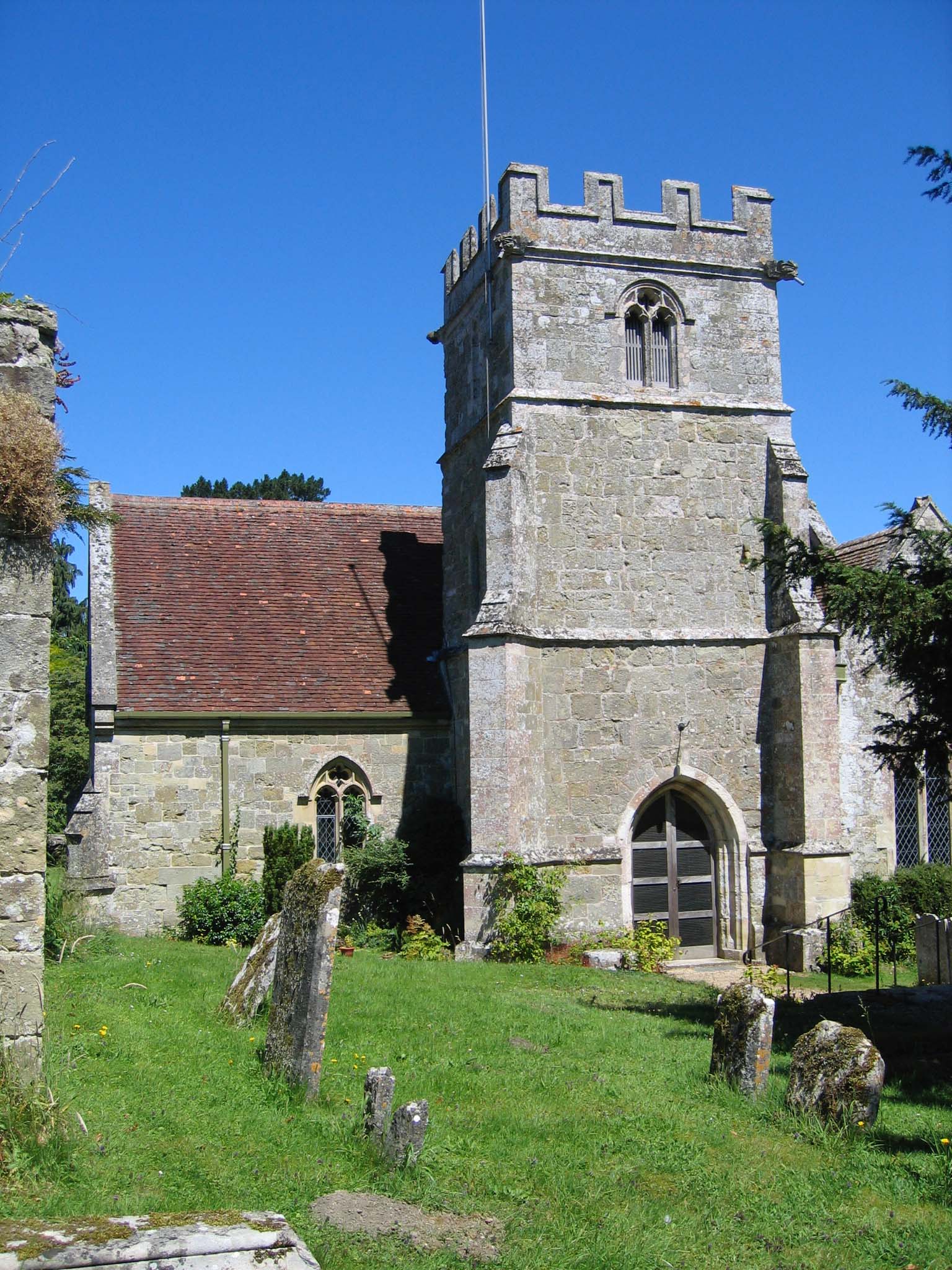
 St Michael's Church.
The Church
The church of St Michael stands on a bank overlooking Compton House and a picturesque valley of woods and an artificial lake. The church was built at the end of the 13th Century in the Early English style, at the same time Salisbury Cathedral was being constructed some 10 miles away. The church contains the Penruddocke family vault and has a peal of 6 bells, two dating from the 17th century and four from the 19th century.[1]
Compton House
Compton House was from the mid-16th Century until 1930 the family seat of the Penruddocke family. Colonel John Penruddock was a royalist who took part in a failed uprising against Oliver Cromwell, known as the Penruddock uprising. He was tried and executed in Exeter on 16 May 1665.
Notable people
- Colonel John Penruddock, leader of the Penruddock uprising of 1655
- Thomas Penruddocke
References
External links
- Wanderings in Wessex at Project Gutenberg (Makes reference to Penruddocke.)
- http://comptonchamberlayne.play-cricket.com/home/home.asp
External links
 Media related to Compton Chamberlayne at Wikimedia CommonsCategories:
- Villages in Wiltshire

Wikimedia Foundation. 2010.