- Okefenokee Wilderness
-
Okefenokee Wilderness 

Location Okefenokee National Wildlife Refuge, Georgia, USA Nearest city Folkston, Georgia Coordinates 30°51′3.4307″N 82°18′57.9348″W / 30.850952972°N 82.316093°WCoordinates: 30°51′3.4307″N 82°18′57.9348″W / 30.850952972°N 82.316093°W Area 353,981 acres (1,432.5 km2) Established 1974 Governing body U.S. Fish and Wildlife Service 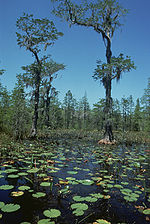 Okefenokee Wilderness
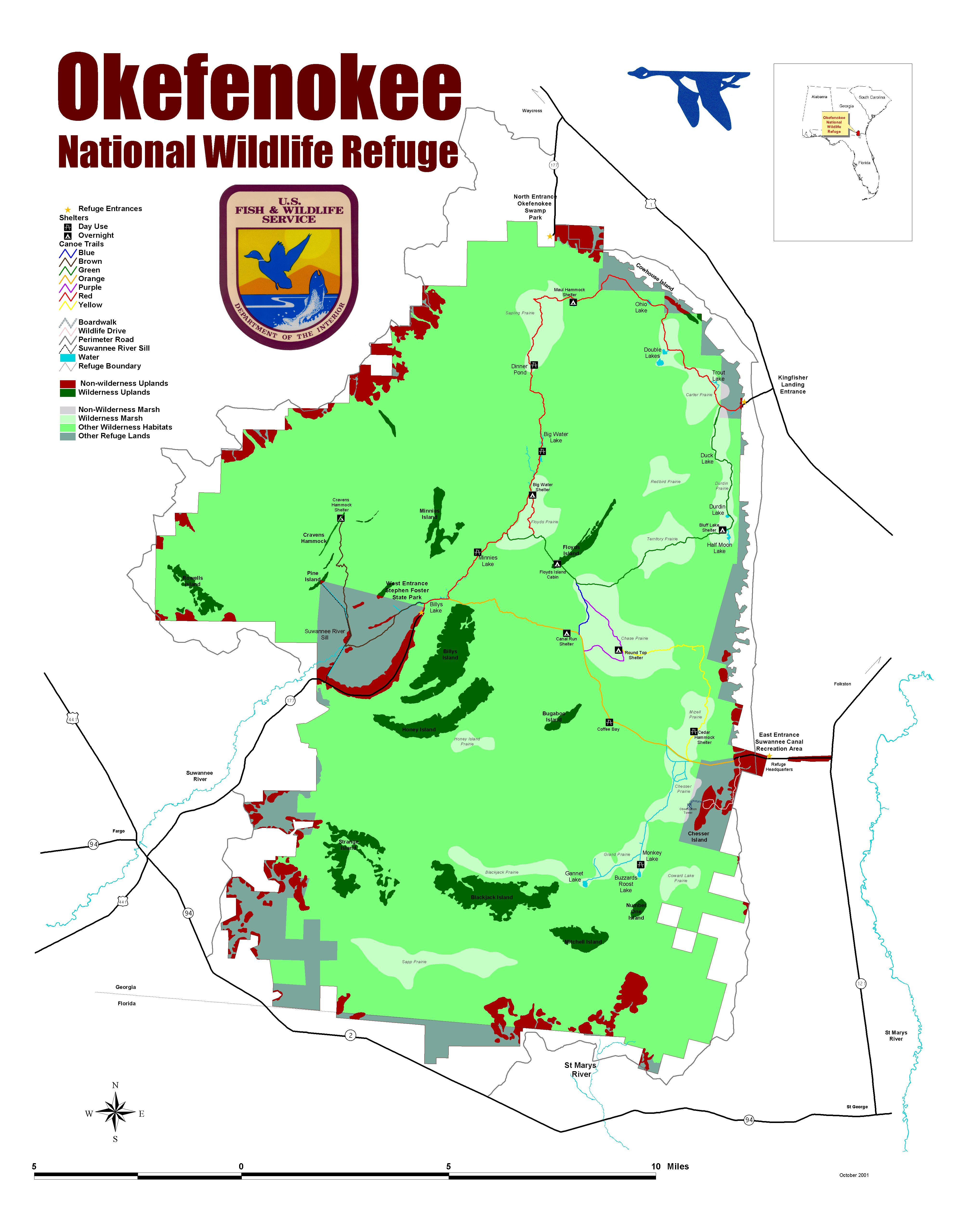
 Map of Okefenokee NWR showing the Wilderness Area
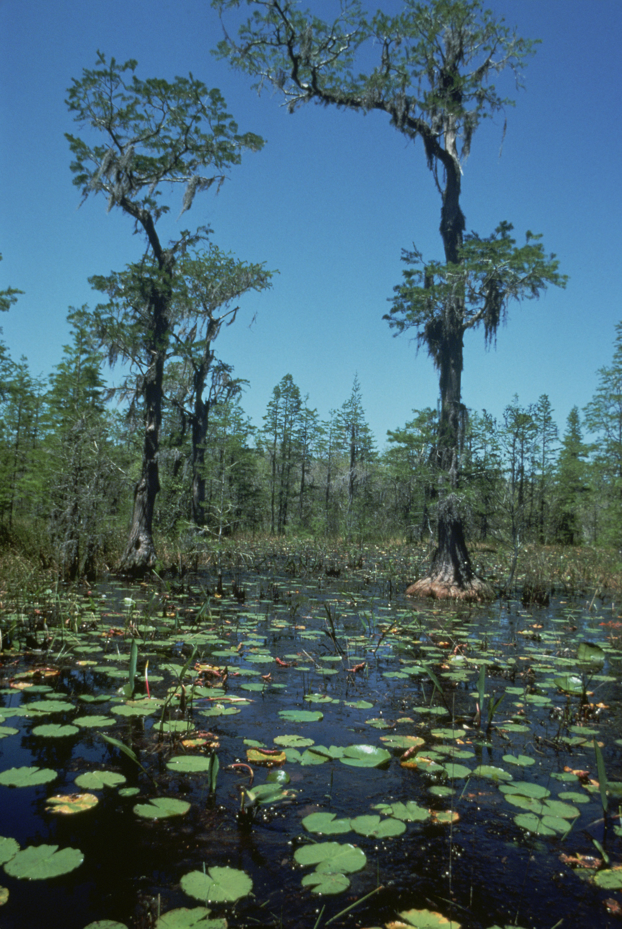
Okefenokee Wilderness is an 353,981 acre (1,432.5 km2) U.S. Wilderness Area located in southeastern Georgia in the Okefenokee National Wildlife Refuge. It was established and governed under the Wilderness Act of 1974 when 343,850 acres (1,391.5 km2) were designated as wilderness by Public Law 93-429. The wilderness area is located entirely within the state of Georgia, even though small parts of Okefenokee National Wildlife Refuge and Okefenokee Swamp both extend southward into the state of Florida.
Located in the heart of the Okefenokee Swamp, this tract of land has been set aside for future generations to enjoy. No further uses such as timber harvesting, farming, or road building will be permitted. While the public is invited to engage in recreational opportunities such as fishing, hiking, canoeing, and wildlife observation, all uses are primitive and nondestructive and all access is by either foot traffic or boat. Boats having 10 hp or less are allowed and can be rented along with canoes at the two main entrance ways on either side (West or East) of the Swamp.
See also
External links
Categories:- IUCN Category Ib
- Protected areas of Charlton County, Georgia
- Protected areas of Clinch County, Georgia
- Protected areas of Ware County, Georgia
- Wilderness Areas of Georgia (U.S. state)
- Protected areas established in 1974

Wikimedia Foundation. 2010.