- Colbinabbin, Victoria
-
Colbinabbin
Victoria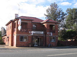
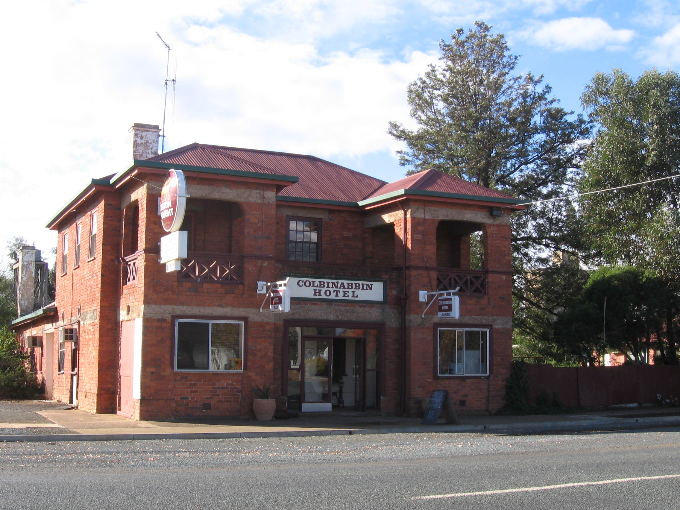
Colbinabbin Hotel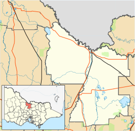
 Colbinabbin
Population: 111[1] Postcode: 3559 Coordinates: 36°36′S 144°49′E / 36.6°S 144.817°ECoordinates: 36°36′S 144°49′E / 36.6°S 144.817°E Location: - 161 km (100 mi) N of Melbourne
- 59 km (37 mi) NE of Bendigo
- 70 km (43 mi) W of Shepparton
- 24 km (15 mi) SE of Elmore
- 22 km (14 mi) W of Rushworth
LGA: Shire of Campaspe State District: Rodney Federal Division: Murray Colbinabbin (
 /ˈkɒlbɪnæbən/) is a small town in central Victoria, Australia. The name is derived from aboriginal meaning "the meeting of the black and red soils".[citation needed] At the 2006 census, Colbinabbin and the surrounding area had a population of 111.[1]
Contents
History
Located on the banks of Cornella Creek, Colbinabbin was first settled in the 1850s. A township was established in the 1870s, the Post Office opening on 9 August 1872.[2]
In the 1930s the area had significant change with the construction of the Waranga - Mallee channel, which bisects the town. Irrigation altered land use to the north of the town and to this day has made it very productive farmland. Cereal cropping and livestock production have been important industries in the Colbinabbin area. Since the late 1960s tomatoes have been produced for processing into sauces and pastes. A local company also specialises in semi-dried tomatoes for the export market.[citation needed]
The town today
Colbinabbin in recent years has seen a boom in wine growing and a substantial number of vineyards have been established in the area, especially along the Mount Camel Range, known colloquially as 'The hill'. The red volcanic soil of the Mount Camel Range was formed in Cambrian times and is ideal for grape production. The easterly aspect, irrigation water and warm climate have accelerated this development. Shiraz is the most common variety grown. This area forms part of the Heathcote Wine Region.[3]
Colbinabbin has an active community fielding teams in several sports including an Australian rules football team playing in the Heathcote District Football League, netball, tennis, lawn bowls and cricket sides. The Colbinabbin Football Club recently won the Senior Premiership in the Heathcote District Football League by defeating Heathcote by 22 points at the Grand Final held at Huntly.
Colbinabbin has featured prominently in regional media with the construction of a pipeline connecting the Waranga-Mallee channel to Lake Eppalock and onto Ballarat. This 'superpipe' will draw water from the main channel at a location just north of the town. Local opposition to this development has been reported on ABC news and a petition against further drawing of water from the Goulburn system has been initiated.[citation needed] A protest on August 31 saw the Premier of Victoria, John Brumby, unable to leave the pipeline compound for seventy five minutes. This was reported widely in the media, including ABC news and The Herald Sun newspaper.
Water from the Goulburn River is diverted at the Goulburn Weir and sent via the Stuart Murray and Cattanach Canals to the Waranga Basin. Approximately 91% of the flow of the Goulburn River is diverted at this point.[citation needed] This provides much of the water that flows along the Waranga Mallee channel that bisects the town.
References
- ^ a b Australian Bureau of Statistics (25 October 2007). "Colbinabbin (State Suburb)". 2006 Census QuickStats. http://www.censusdata.abs.gov.au/ABSNavigation/prenav/LocationSearch?collection=Census&period=2006&areacode=SSC25375&producttype=QuickStats&breadcrumb=PL&action=401. Retrieved 2007-07-26.
- ^ Premier Postal History. "Post Office List". https://www.premierpostal.com/cgi-bin/wsProd.sh/Viewpocdwrapper.p?SortBy=VIC&country=. Retrieved 2008-04-11
- ^ "Heathcote, Victoria". Wine Regions. Australian Wine and Brandy Corporation. http://www.wineaustralia.com/Australia/Default.aspx?tabid=747. Retrieved 2007-08-03.
External links
Towns in the Shire of Campaspe Categories:- Towns in Victoria (Australia)

Wikimedia Foundation. 2010.