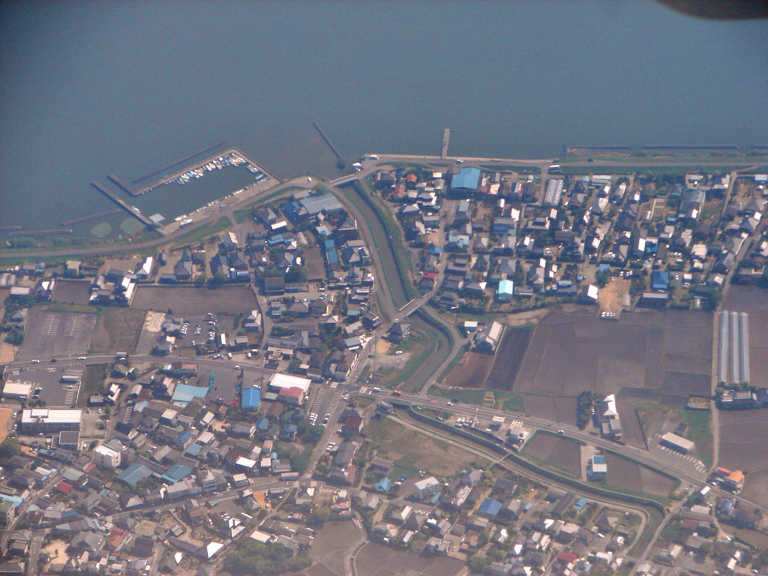
- Namegata, Ibaraki
-
Namegata
行方市— City — Location of Namegata in Ibaraki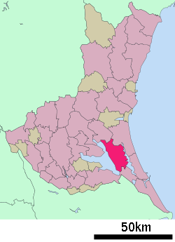

 Namegata
Coordinates: 35°59′13″N 140°29′32″E / 35.98694°N 140.49222°ECoordinates: 35°59′13″N 140°29′32″E / 35.98694°N 140.49222°E Country Japan Region Kantō Prefecture Ibaraki Government – Mayor Koichi Itoh (since September 2009) Area – Total 166.33 km2 (64.2 sq mi) Population (April 1, 2011) – Total 38,182 – Density 229.6/km2 (594.5/sq mi) Time zone Japan Standard Time (UTC+9) City symbols - Tree Ginkgo biloba - Flower Lilium auratum - Bird Egret Phone number 81-(0)299-72-0811 Address Aso 1561-9, Namegata City, Ibaraki Prefecture (茨城県行方市麻生1561-9)
311-3892Website www.city.namegata.ibaraki.jp Namegata (行方市 Namegata-shi) is a city located in Ibaraki, Japan. The city was formed on September 2, 2005 from the merger of the towns of Asō, Kitaura and Tamatsukuri.
As of April 1, 2011 population data, the city has an estimated population of 38,182, with a household number of 11,721 and the density of 229.56 persons per km². The total area is 166.33 km².

External links
 Media related to Namegata, Ibaraki at Wikimedia Commons
- Official website of Namegata (Japanese)

This Ibaraki Prefecture location article is a stub. You can help Wikipedia by expanding it.