- Peterview, Newfoundland and Labrador
Infobox Settlement
official_name = Peterview
other_name = Peters Arm
native_name =
nickname =
settlement_type = Town
motto =
imagesize =
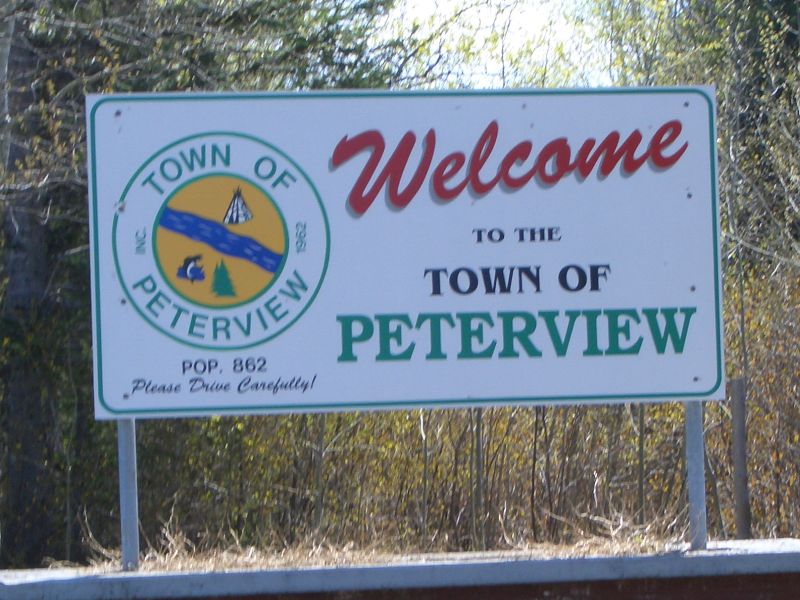
image_caption = Peterview's welcome sign on the only road into the community.
flag_size =
image_
seal_size =
image_shield =
shield_size =
city_logo =
citylogo_size =
pushpin_
pushpin_label_position = left
pushpin_map_caption = Location of Peterview in Newfoundland
pushpin_mapsize =
subdivision_type = Country
subdivision_name = CAN
subdivision_type1 = Province
subdivision_name1 = NL
subdivision_type3 = Census division
subdivision_name3 = 6
established_title =
established_date =
established_title2 = Incorporated
established_date2 = 1962
established_title3 =
established_date3 =
government_type =
government_footnotes =
leader_title =
leader_name =Jim Samson
leader_title1 =
leader_name1 =
leader_title2 =
leader_name2 =
unit_pref =
area_footnotes =
area_total_sq_mi =
area_total_km2 = 6.72
area_land_sq_mi =
area_land_km2 =
area_water_sq_mi =
area_water_km2 =
area_water_percent =
area_urban_sq_mi =
area_urban_km2 =
area_metro_km2 =
area_metro_sq_mi =
population_as_of = 2006
population_note =
population_footnotes =
population_total = 807
population_urban =
population_metro =
population_density_sq_mi =
population_density_km2 = 120.0
timezone =Newfoundland Time
utc_offset = -3:30
timezone_DST = Newfoundland Daylight
utc_offset_DST = -2:30
latd = 49
latm = 07
lats = 00
latNS = N
longd = 55
longm = 21
longs = 00
longEW = W
elevation_footnotes =
elevation_ft =
elevation_m = 12
postal_code_type = Postal code span
postal_code = A0H
area_code = 709
blank_name = Highways
blank_info = Route 350
website =
footnotes = Peterview is atown located in the Exploits Valley area of centralNewfoundland and Labrador ,Canada , wherePeters River empties into theBay of Exploits , just south of Botwood, off Route 350.Originally named Peters Arm, the community was incorporated as the Town of Peterview in
1962 . The currentmayor is Jim Samson and thedeputy mayor is Monnie Burt. According to the2001 Statistics Canada census , Peterview has apopulation of 807 with 266 [ [http://www12.statcan.ca/english/census06/data/profiles/community/Details/Page.cfm?Lang=E&Geo1=CSD&Code1=1006021&Geo2=PR&Code2=10&Data=Count&SearchText=Wood%20Point,%20Bonne%20Bay&SearchType=Begins&SearchPR=01&B1=All Population and dwelling counts] ] private dwellings.Peterview has connections to
Demasduwit (Mary March), a figure in Newfoundland history and one of the lastBeothuk Indians, as John Peyton, one of her captors, built the first house in the area.ee also
*
List of cities and towns in Newfoundland and Labrador References
External links
* [http://www.centralnewfoundland.com/peterview.php3 Peterview]

Wikimedia Foundation. 2010.