- Kalamazoo River
-
Kalamazoo River 
Map of the Kalamazoo RiverOrigin South Branch : Near North Adams
42°05′47″N 84°28′38″W / 42.09643°N 84.47717°W[2]
41°59′05″N 84°30′59″W / 41.98476°N 84.51633°W[1]
North Branch: Near Farewell and Pine Hills lakes, Jackson CountyMouth 42°40′36″N 86°12′55″W / 42.67669°N 86.21531°WCoordinates: 42°40′36″N 86°12′55″W / 42.67669°N 86.21531°W[3] Length 130 miles (210 km) Avg. discharge Marshall: 9.1 m³/s (320 ft³/s) [4]
Battle Creek: 19.4 m³/s (686 ft³/s) [5]
Comstock: 26.5 m³/s (934 ft³/s) [5]
Allegan : 45.8 m³/s (1,618 ft³/s)[6]
New Richmond: 52.8 m³/s (1,863 ft³/s) [7]Basin area 5,230 km² (2,020 mi²) The Kalamazoo River is a river in the U.S. state of Michigan. The river is 130 miles (210 km) long from the junction of its North and South branches to its mouth at Lake Michigan, with a total length extending to 178 miles (286 km) when one includes the South Branch.[8] The river's watershed drains an area of approximately 2,020 square miles (5,200 km2) and drains portions of eight counties in southwest Michigan: Allegan, Barry, Eaton, Van Buren, Kalamazoo, Calhoun, Jackson, Hillsdale, Kent and Ottawa. The river has a median flow of 1863 cubic feet per second (52.8 m³/s) at New Richmond, upstream from its mouth at Saugatuck.
The North and South Branches of the Kalamazoo River originate within a few miles of each other. The South Branch begins near North Adams in Moscow Township in northeastern Hillsdale County and flows north and west through Homer before joining the North Branch at the forks of the Kalamazoo in Albion. The North Branch begins near Farewell and Pine Hills lakes in southern Jackson County and flows north and west through Concord before reaching Albion in Calhoun County. It then flows through Kalamazoo and Allegan counties.
After Albion, the Kalamazoo flows mostly westward through Marshall, Battle Creek, Augusta, Galesburg, Comstock, and Kalamazoo. From Kalamazoo, the river flows mostly north until just before it reaches Plainwell and then flows northwest through Otsego, Allegan, Saugatuck and then into Lake Michigan.
Some of the larger tributaries of the Kalamazoo are Rice Creek, Wilder Creek, Wabascon Creek, Battle Creek River, Augusta Creek, Portage Creek, Gun River, Swan Creek, and Rabbit River.
Contents
History
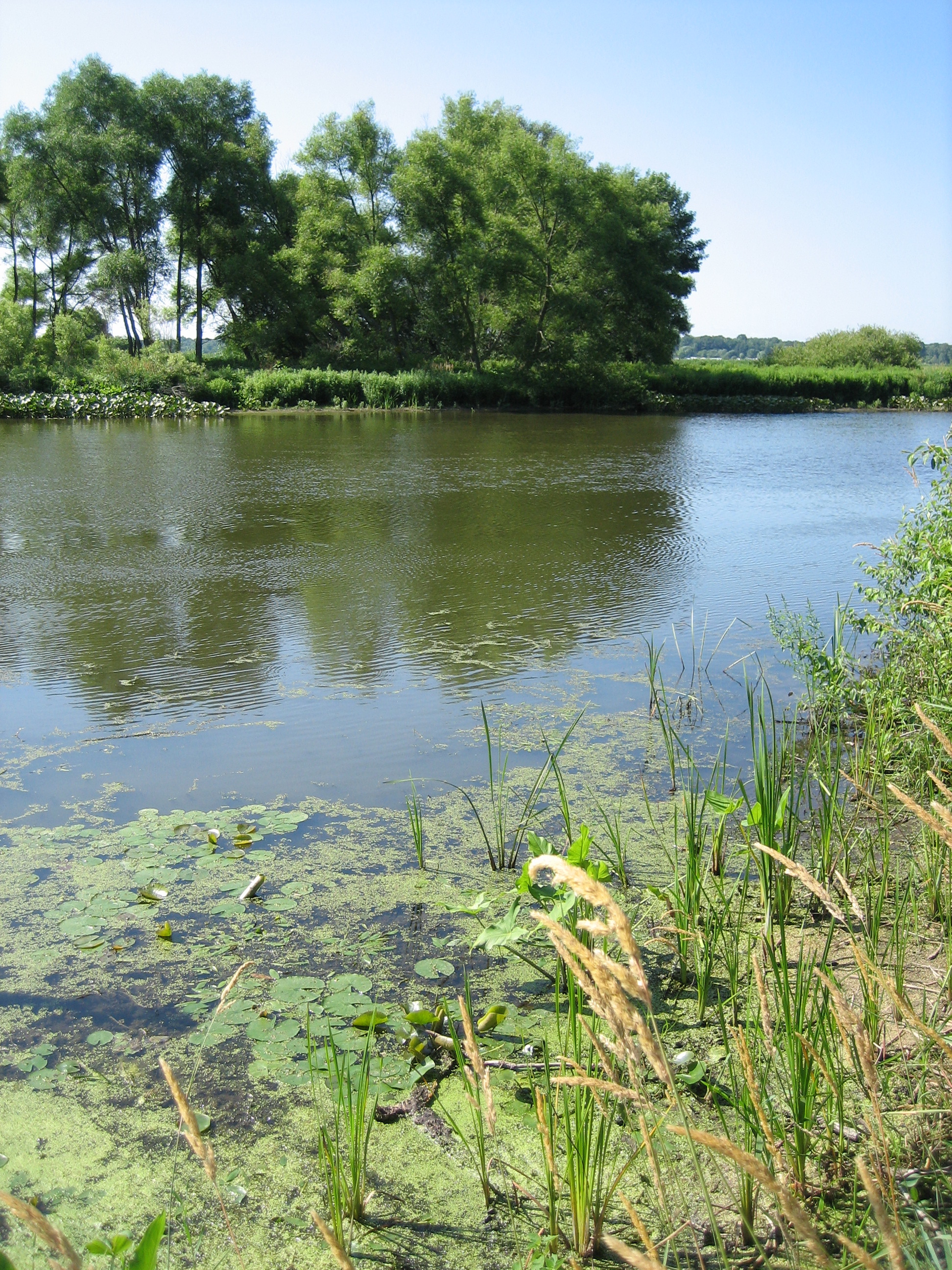
 The Kalamazoo River at Saugatuck, Michigan
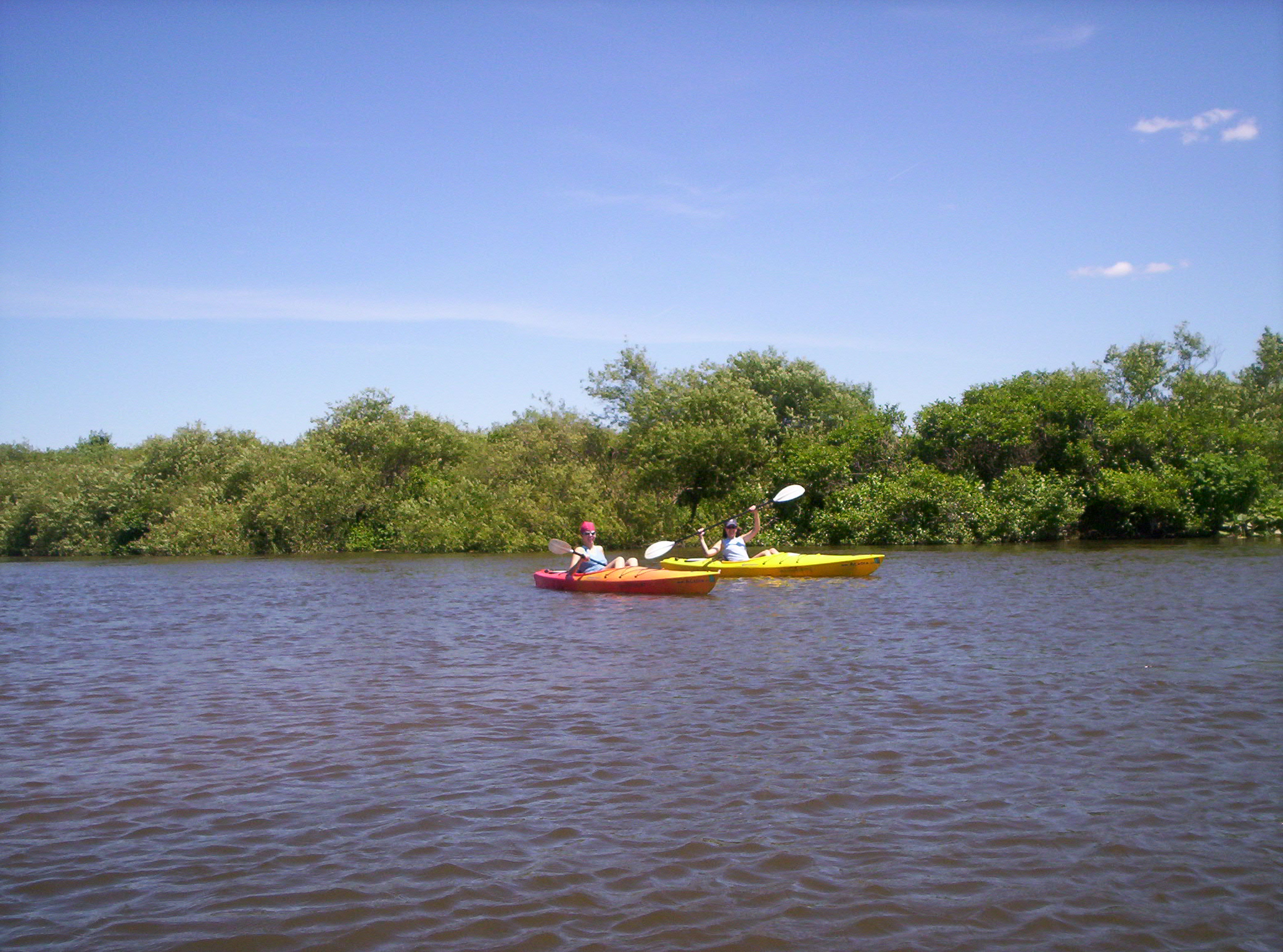
 Kayakers on the Kalamazoo River
Archeological evidence indicates humans have used the Kalamazoo River basin continuously for more than 11,000 years. At the time of European contact, the Kalamazoo River area was inhabited primarily by members of Potawatomi tribes. The Jesuit priest Father Jacques Marquette and his companions were probably the first Europeans to glimpse the mouth of the Kalamazoo in 1675 as they returned from Illinois. It wasn't until the late eighteenth century that the area was frequented by fur traders. By the early nineteenth century, there were several small communities along the river, including Kalamazoo. With the introduction of the railroad in the 1840s, the importance of the river for transportation diminished.
By the mid-nineteenth century, several communities had grown up along the River as mill towns and commercial centers: Battle Creek, Kalamazoo, Parchment, Plainwell, and Otsego. After the Civil War and into the 20th century, various industries, from cereal production to pharmaceuticals to automobile parts, flourished. Several communities became sites for paper production, which used the river for water intake and waste discharge. Deinking practices no longer in use led to PCB contamination of the river. Sewage effluent, other industrial discharges, and trash also contributed to the pollution of the river. For many years in the 1940s, 50s, and 60s, the river was an "eyesore" and most people did their best to avoid it. Beginning in the 1970s with the federal Clean Water Act, serious efforts were made to clean up the river. Although today the river is cleaner, the persistent PCB contamination has led to Superfund designation of a 35-mile (56 km) section from Kalamazoo to Allegan Dam. Many species of fish inhabit the river, including smallmouth bass, largemouth bass, catfish, carp, and many types of panfish. Though populations have increased in recent years due to the cleanup of the river, it is still advised for people to not eat large amounts of fish from the Kalamazoo River, and pregnant women are also advised not to eat any fish from the river due to lingering effects of the pollution in the diets of many fish (particularly bottom feeding fish like catfish which can accumulate high levels of mercury).
In the late 1950s, a developer at the North Branch headwaters (Farwell and Pinehill Lakes) was allowed to build a dam which raised the level of both of those lakes so that he might operate a commercial marina. The dam caused many soil sediments to enter the lake through the raised water level and resultant erosion. The residents of Farwell Lake have been very actively working to restore the once pristine quality of that lake. A municipal area sewer system branch has been added and great efforts are being made to educate lake users about keeping fuels, lawn chemicals and fertilizers, etc out of the water. The property owners are hopeful that the dam will be removed and allow the headwaters to flow naturally again and restore the lake to its natural sandy shoreline.
Although the word Kalamazoo appears to be Native American in origin, the exact meaning is obscure and various definitions have been suggested. See the article on the Etymology of Kalamazoo for a detailed discussion of name origin theories.
Talmadge Creek oil spill
Main article: Talmadge Creek oil spillOn 26 July 2010, an Enbridge Energy pipeline leaked approximately 1,000,000 gallons of oil into Talmadge Creek that flows into the Kalamazoo, initially causing two homes to be evacuated, and prohibitions against fishing and swimming to be posted.[9] The US Environmental Protection Agency (EPA) later estimated the spill to be in excess of one million gallons.[10] On 29 July 2010, the Calhoun County Health Department asked 30 to 50 households to evacuate, and twice as many were advised not to drink their water.[11]
Dams
A list of major dams on the Kalamazoo River.[12][13] The Plainwell Dam was removed in 2009.[14]
Name Height Purpose(s) Capacity (MW) Year Owner name Reservoir name Coordinates Comments Lake Allegan (Calkins Bridge) 33 ft (10.1 m) Hydroelectric 2.5 1930 Consumers Energy Lake Allegan 42°33′49″N 85°57′13″W / 42.56369°N 85.9536°W Allegan City 12 ft (3.66 m) Retired hydroelectric 1900 City of Allegan 42°31′30″N 85°50′45″W / 42.52493°N 85.84576°W Trowbridge 11 ft (3.35 m) Retired hydroelectric 1899 Michigan DNR 42°28′58″N 85°47′47″W / 42.4828°N 85.7964°W Otsego 5 ft (1.52 m) Retired hydroelectric 1904 Michigan DNR 42°27′54″N 85°44′59″W / 42.46492°N 85.74965°W Otsego City 9 ft (2.74 m) Retired hydroelectric 1886 City of Otsego 42°27′48″N 85°41′32″W / 42.4632°N 85.6923°W Morrow 14 ft (4.27 m) Hydroelectric .9 1941 STS Hydropower Morrow Lake 42°16′57″N 85°29′30″W / 42.2826°N 85.4918°W Monroe Street 12 ft (3.66 m) Retired hydroelectric 1894 City of Battle Creek Lower Mill Pond 42°18′46″N 85°11′07″W / 42.3128°N 85.18531°W Ceresco 15 ft (4.57 m) Retired hydroelectric 1906 42°16′12″N 85°03′39″W / 42.27001°N 85.06081°W Marshall 14 ft (4.27 m) Hydroelectric 319 1890 City of Marshall 42°15′46″N 84°57′15″W / 42.26269°N 84.95421°W Albion 7 ft (2.13 m) Retired hydroelectric 1856 City of Albion 42°14′21″N 84°44′58″W / 42.23911°N 84.7494°W Concord 9 ft (2.74 m) Recreation 1830 42°10′49″N 84°38′47″W / 42.18038°N 84.64627°W Total 322.4 See also
- Kalamazoo Superfund Site
References
- ^ "South Branch Kalamazoo River". Geographic Names Information System, U.S. Geological Survey. http://geonames.usgs.gov/pls/gnispublic/f?p=gnispq:3:::NO::P3_FID:638290.
- ^ "North Branch Kalamazoo River". Geographic Names Information System, U.S. Geological Survey. http://geonames.usgs.gov/pls/gnispublic/f?p=gnispq:3:::NO::P3_FID:633515.
- ^ "Kalamazoo River". Geographic Names Information System, U.S. Geological Survey. http://geonames.usgs.gov/pls/gnispublic/f?p=gnispq:3:::NO::P3_FID:629444.
- ^ Mean of the yearly mean streamflows recorded by the USGS for the period 2002-2006.
- ^ a b Mean of the yearly mean streamflows recorded by the USGS for the period 2000-2006.
- ^ Mean of the yearly mean streamflows recorded by the USGS for the period 2001-2005.
- ^ Mean of the yearly mean streamflows recorded by the USGS for the period 2003-2006.
- ^ U.S. Geological Survey. National Hydrography Dataset high-resolution flowline data. The National Map, accessed May 19, 2011
- ^ Jaclyn Gallucci (Tuesday, 27 July 2010). "Michigan Oil Spill: 840,000 Gallons of Oil Leak Into Talmadge Creek". The Long Island Press. http://www.longislandpress.com/2010/07/27/michigan-oil-spill-840000-gallons-of-oil-leak-into-talmadge-creek/. Retrieved 27 July 2010.
- ^ EPA (Tuesday, 27 July 2010). "EPA Response to Enbridge Spill in Michigan". United States Environmental Protection Agency. http://www.epa.gov/enbridgespill/. Retrieved 29 July 2010.
- ^ Sarah Lambert (Friday, 30 July 2010). "Air quality spurs evacuations in oil spill area". The Battle Creek Enquirer. http://www.battlecreekenquirer.com/article/20100730/OILSPILL/7300328/Leak+forces+evacuations+. Retrieved 30 July 2010.
- ^ Wesley, Jay (September 2005). Kalamazoo River Assessment. Michigan Department of Natural Resources. pp. 148–151. http://www.michigandnr.com/PUBLICATIONS/PDFS/ifr/ifrlibra/special/reports/sr35/SR35_tables_references.pdf. Retrieved 26 May 2011
- ^ Michigan Electrical Grid Plant Data v.21 Michigan Public Service Commission
- ^ Killian, Chris (1 November 2010). "Cleanup complete of stretch of Kalamazoo River near Plainwell dam". Kalamazoo Gazette. http://www.mlive.com/news/kalamazoo/index.ssf/2010/11/cleanup_complete_of_stretch_of.html. Retrieved 26 May 2011
External links
Categories:- Rivers of Michigan
- Central Michigan
- Western Michigan
- Tributaries of Lake Michigan
- Geography of Allegan County, Michigan
- Geography of Barry County, Michigan
- Geography of Eaton County, Michigan
- Geography of Van Buren County, Michigan
- Geography of Kalamazoo County, Michigan
- Geography of Calhoun County, Michigan
- Geography of Jackson County, Michigan
- Geography of Hillsdale County, Michigan
- Geography of Kent County, Michigan
- Geography of Ottawa County, Michigan

Wikimedia Foundation. 2010.