- St Osyth
-
Coordinates: 51°47′56″N 1°04′48″E / 51.799°N 1.080°E
St Osyth 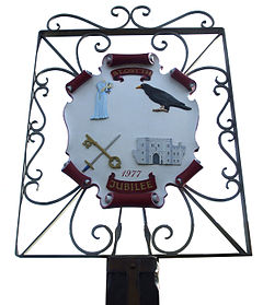
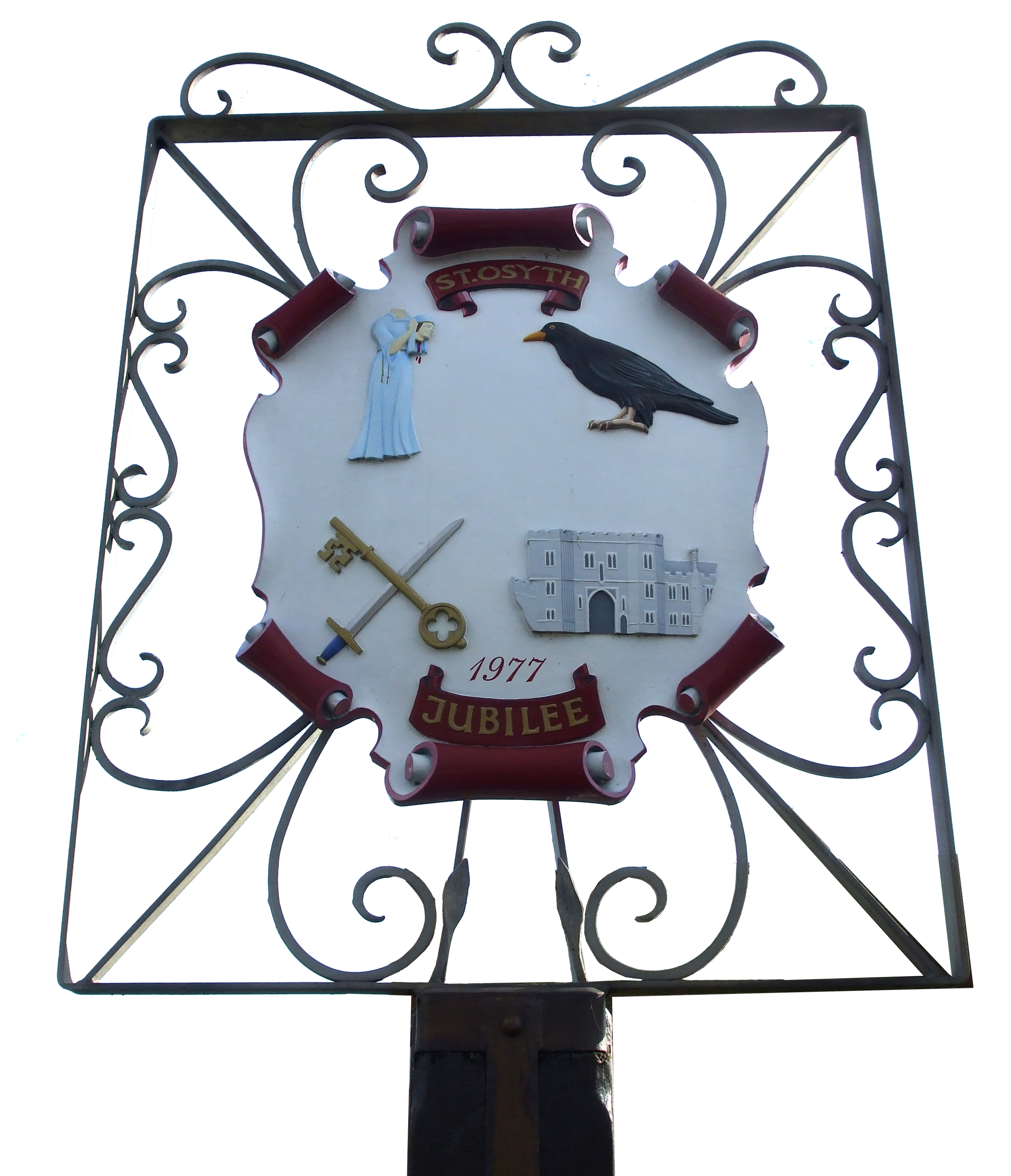
Village Sign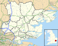
 St Osyth
St Osyth shown within EssexPopulation 4,119 (2001 Census) OS grid reference TM123156 District Tendring Shire county Essex Region East Country England Sovereign state United Kingdom Post town CLACTON-ON-SEA Postcode district CO16 Dialling code 01255 Police Essex Fire Essex Ambulance East of England EU Parliament East of England UK Parliament North Essex List of places: UK • England • Essex Contents
St Osyth is a village and civil parish in northeast Essex. It is about 5 miles (8.0 km) west of Clacton-on-Sea, and about 12 miles (19.3 km) southeast of Colchester. It is located on the B1027 road and is named after Osyth, a saint and Anglian princess. The Essex dialect pronunciation is 'Toosey', which is still in use locally for the name of the village.
The village has a bus service with services to Colchester and Clacton. The nearest rail station can be found at Great Bentley, approximately 4 miles away.
History
Before being renamed to commemorate Saint Osyth, the village was called Chich (alternative spellings include Chiche and Chick).
St Osyth was the subject of an episode of Channel 4's Time Team programme, "Lost Centuries of St Osyth", (series 12 episode 9, first broadcast in February 2005). This programme sought to uncover the early origins of the village, which was presumed to have grown up at around the same time as the Priory, in the twelfth century. Many of the investigations around the current village centre found little evidence of settlement earlier than the fourteenth century; it appeared that the early village centre lay some way off, between the Priory and the river.
The village was a focus for witch persecutions in the sixteenth and seventeenth centuries with a total of ten local women being hanged as a result. In 1921 the skeletons of 2 women were discovered in the garden of a house in the village. One was claimed to be the witch Ursley Kempe who was the first to be prosecuted. The skeletons became a local tourist attraction.[1]
Geography
In terms of annual average rainfall, St Osyth is the driest recorded place in the UK, with an average of just 513 mm per year.[citation needed]
Although a significant part of the parish boundary is coast which does not need to be "beaten", St Osyth is one parish which maintains the tradition of beating the bounds on Rogation days. [1]
Point Clear
Point Clear is a separate village within the parish, located at grid reference TM091151 southwest of St Osyth and on the other side of St Osyth Creek, a branch of the Colne Estuary. It first appears on a map in 1880.
Legend of Saint Osyth
Legend has it that Saint Osyth (or Ositha) was a young lady who was involved in various fantastical events during her lifetime. Tales include:
- A young Osyth drowned in a stream, but was revived by nuns from the local convent praying for her for three days.
- St Osyth was executed by beheading; where she fell a spring issued forth from the ground; she picked up her head and walked to the door of the nunnery where she knocked three times on the door before collapsing.
- To this day, Osyth's ghost walks along the priory walls carrying her head one night each year.
Landmarks
The most notable building in the village is undoubtedly its medieval Abbey,[2] a Grade I listed building. The village church is dedicated to St Peter and St Paul. The Martello tower at Point Clear has been converted into a war museum.
St Osyth's Priory was once the home of a herd of polled White Park cattle, until an outbreak of Foot and Mouth disease in 1951 which led to their slaughter.
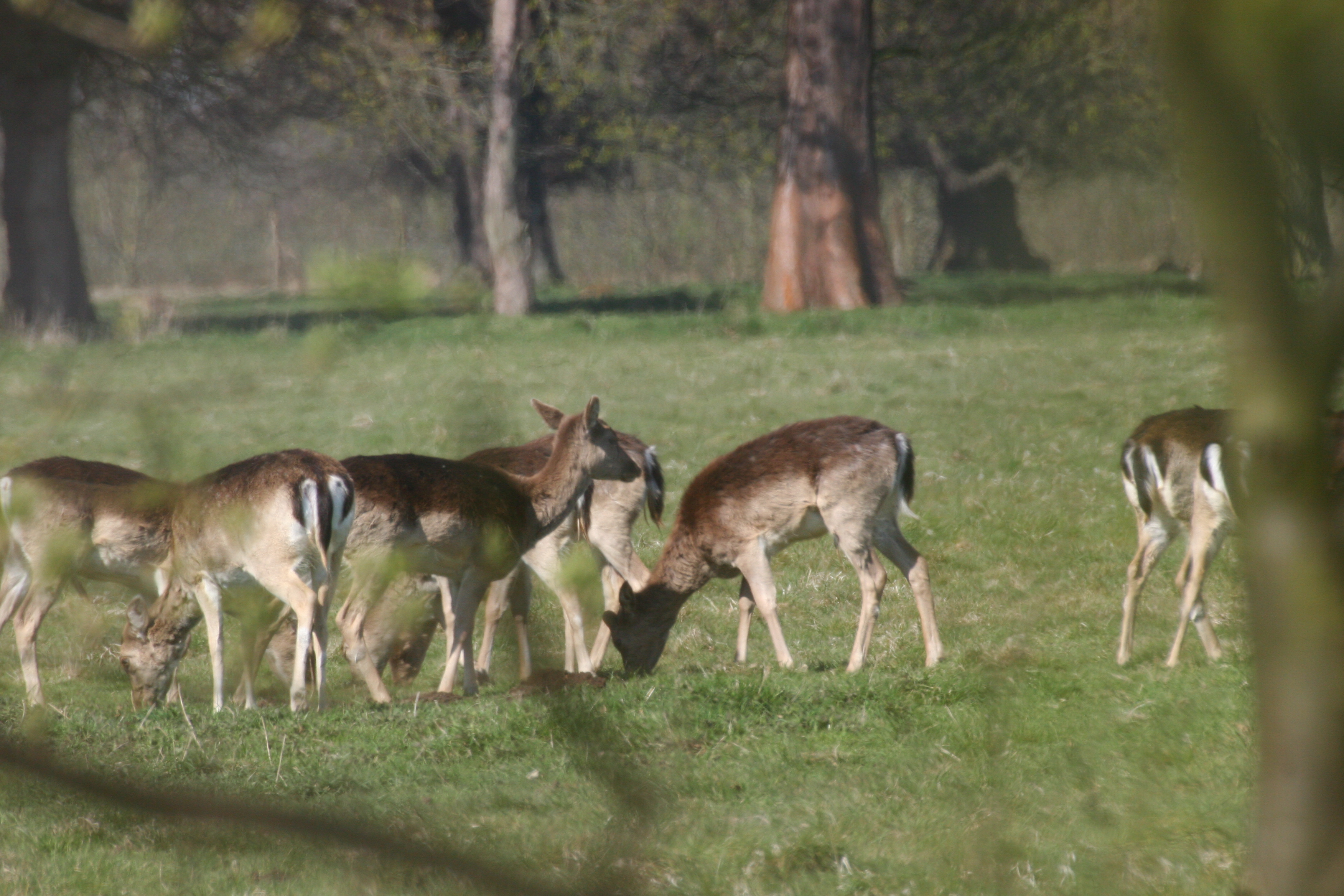
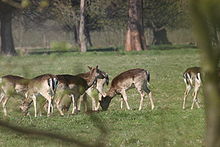 Deer
Deer
"At St Osyth Priory, where an outbreak occurred last week, there was one of the few remaining herds of white Park cattle, one of the oldest breeds in this country. That has now been slaughtered, together with the small dairy herd and the stock of pigs. The farm is attached to the convalescent home maintained at the Priory by the Shepherds Friendly Society."[3]
The land within the Priory boundaries is shown as a Deer Park on the Ordnance Survey map.[4]
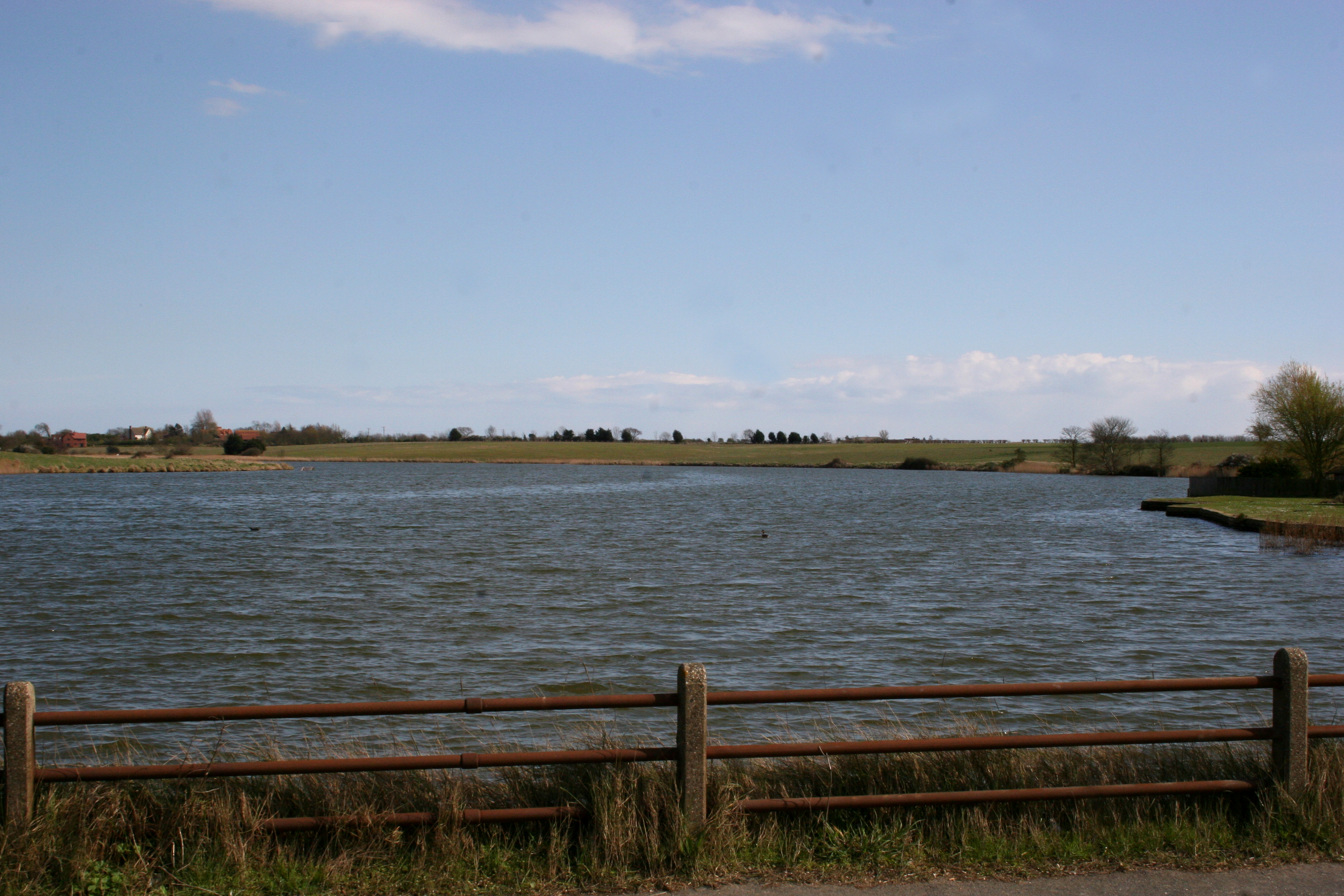
Another landmark is Mill Dam Lake. This lake is filled and emptied from St.Osyth Creek. Photos showing this can be seen in the gallery. The lake is used for water skiing.
St Osyth Beach
The neighbouring settlement of St Osyth Beach contains Essex's largest concentration of static caravan parks, including Seawick, St Osyth Beach (owned by Park Holidays UK ) & Hutleys. The holiday parks boost the local population in the summer months by an estimated 7,000 people.
St Osyth Beach and adjoining Jaywick were the scene of tragic fatalities during "The Great Flood" of 1953
Entertainment
The Venue is an entertainment venue that opened in St. Osyth in early 2009. In its opening year it played host to the Sugababes, N-Dubz, The Drifters, Ricky Tomlinson, Kevin Bloody Wilson and The Stylistics.
The St. Osyth Social Club in Church Square is home to League Darts teams, St. Osyth Social, The Priorymen and S. O. S. C. Ladies.
Photo gallery
-
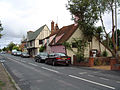
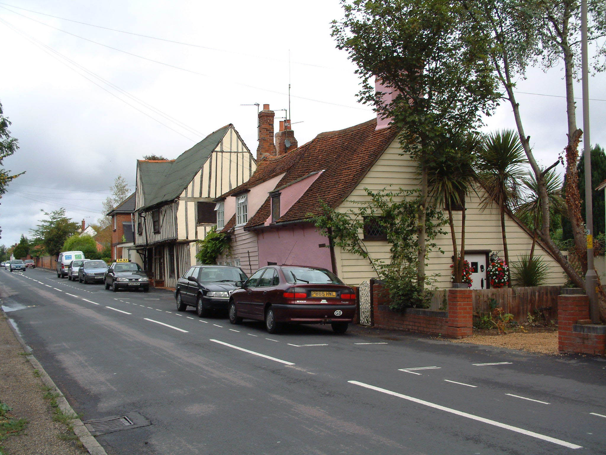
View up Colchester Road
-

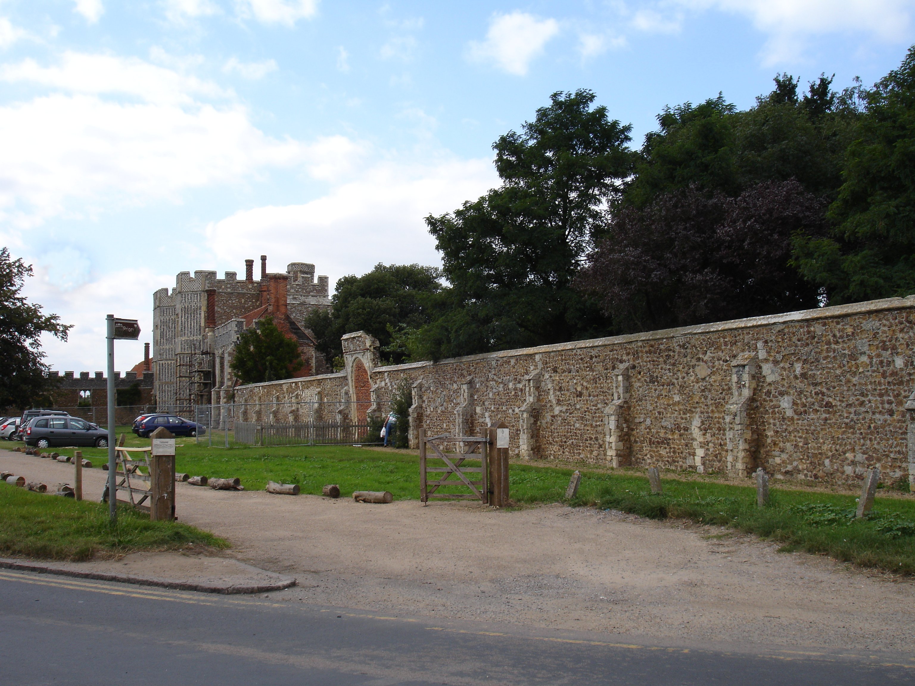
The perimeter wall of St Osyth's Priory, incorporating the abbey gatehouse
-
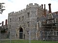
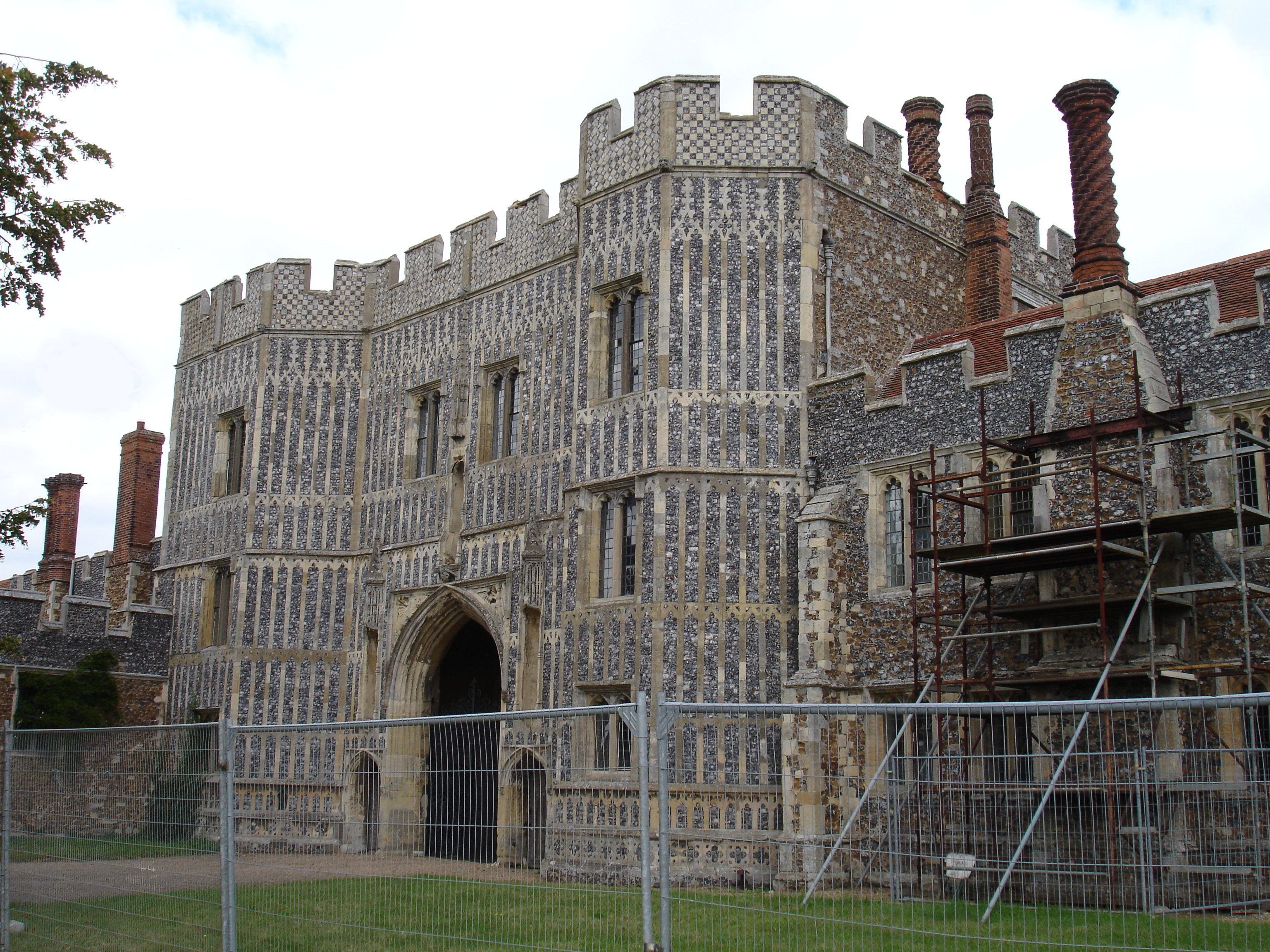
The gatehouse of St Osyth's Abbey, St Osyth
-
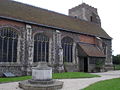
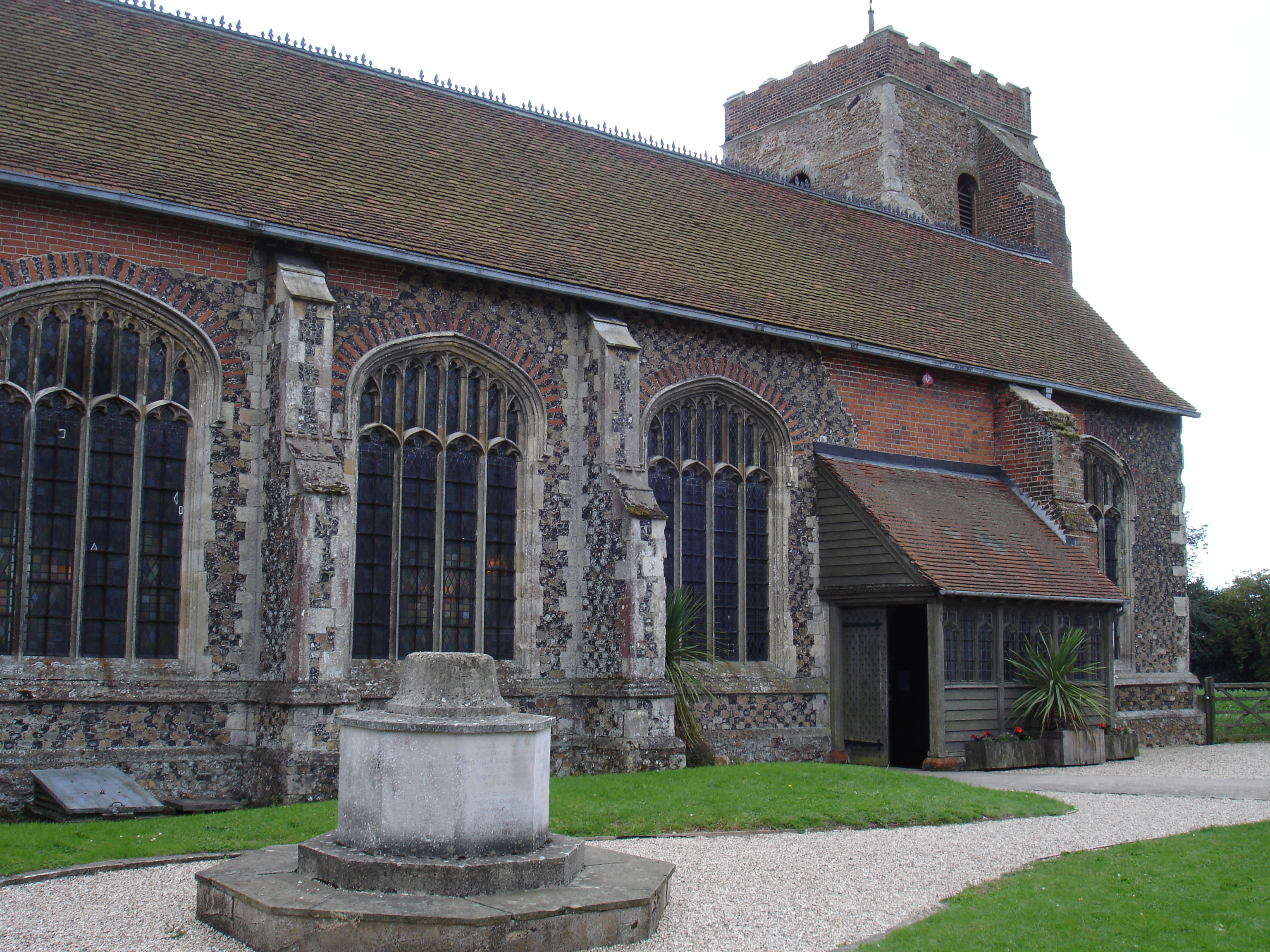
The Parish Church of SS Peter and Paul, St Osyth
-
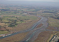
Flag Creek which is approximately 1.5 miles west of the village
-

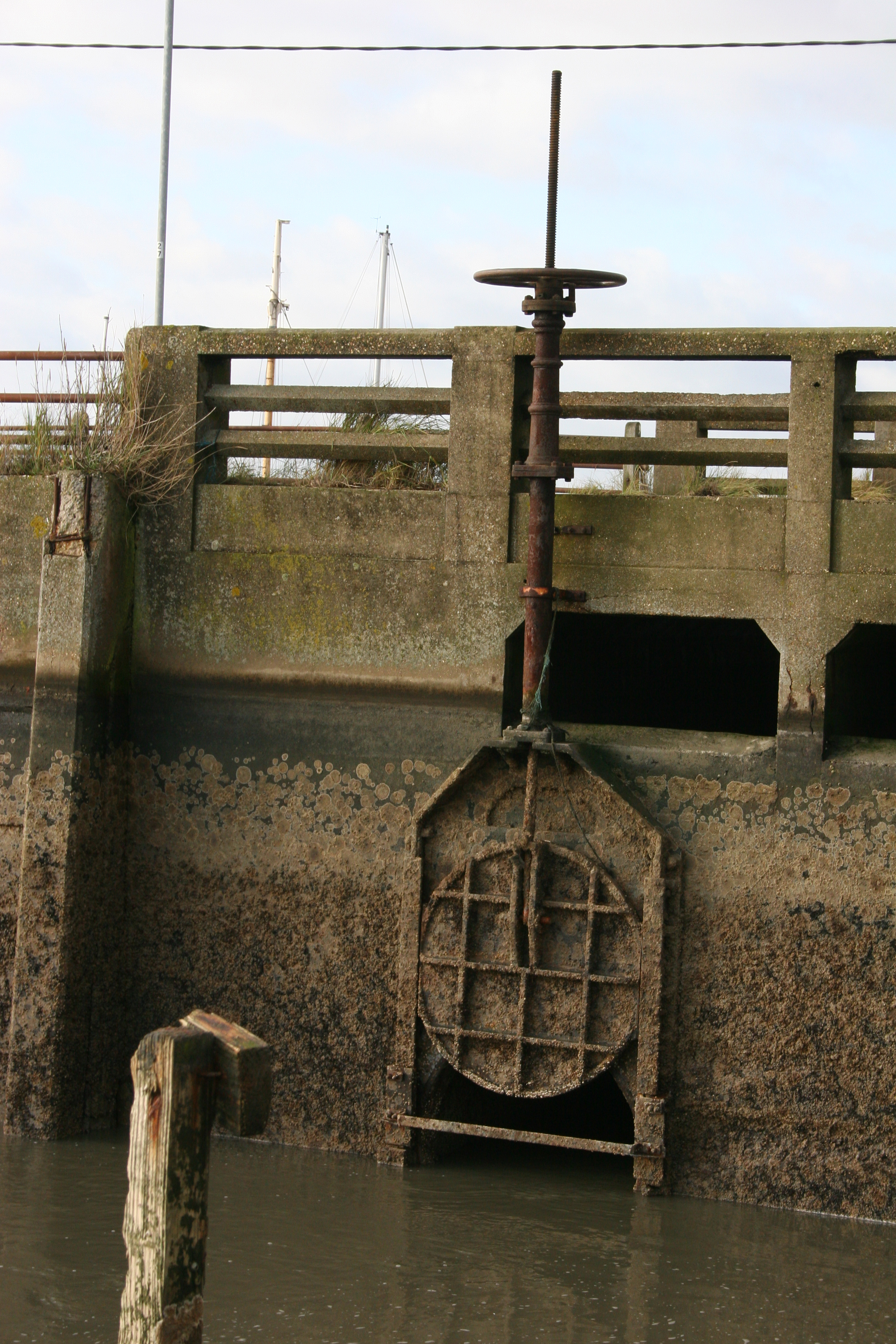
The valve that allows the filling or draining of Mill Dam Lake
-
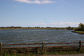
Mill Dam Lake
-
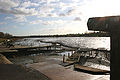
Mill Dam Lake empty
References
- ^ Rowlands, Alison. "BONES OF CONTENTION". Centre for Local and Regional History. University of Essex. http://www.essex.ac.uk/history/research/local-history/bones%20of%20contention.shtm. Retrieved 2009-05-06.
- ^ Henry Thorold, The Ruined Abbeys of England, Wales and Scotland, Collins, 1993
- ^ Essex Farming - 1900-2000 by Peter Wormell, published by Abberton Books
- ^ http://www.geograph.org.uk/photo/756530
External links
Categories:- Villages in Essex
- Tendring


Wikimedia Foundation. 2010.