- Ovrya
-
Ovrya
Οβρυά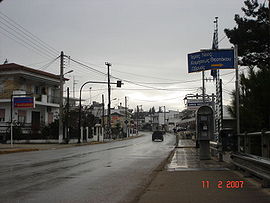
City HallLocation 
 Ovrya
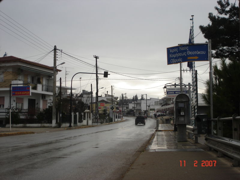
OvryaCoordinates 38°11′N 21°43′E / 38.183°N 21.717°ECoordinates: 38°11′N 21°43′E / 38.183°N 21.717°E Government Country: Greece Region: West Greece Regional unit: Achaea Municipality: Patras Municipal unit: Messatida Population statistics (as of 2001) City - Population: 5,241 Other Time zone: EET/EEST (UTC+2/3) Elevation (min-max): 5 - 1,168 m (16 - 3832 ft) Postal: 265 00 Telephone: 2610 Auto: AX Ovrya (Greek: Οβρυά) is a town in Greece, located just 3 mi (5 km) directly south of Patras, and 4 mi (7 km) south from the GR-33 highway. It is a suburb within the Patras metropolitan area. It was the seat of the former municipality of Messatida.
Olive groves, and pasture used to dominate the area however, house building has been booming with the population growth within the Patras area. Much of the locality is hilly and slightly rugged. The neighboring communities are Mintologi to the SW, Paralia (Patras Beach) to the W, Deménika, Zarchoulaiika and Patras to the N, Savalí to the NE, Kríni to the E, and Thea and Kallithea to the S. It is dominated with hills south of the community, and flat terrain is around 20% of Ovrya. It is bordered by the municipal boundaries of Paralia and Patras, and non-municipal boundaries of Demenika, Kríni, Théa-Kallithéa.
Contents
Geography
A creek flowing from the greenspace areas of Omplos runs into a valley in the east and into Ovrya near Germanos and Dimokratias Street after flowing near residential areas. It flows into groves and through Ileias Street near Nteve Street. The creek flows near the Ovrya Interchange (exit 2 northbound/4 westbound) and into the road linking Ovrya and Paralia. The river flows near the small refinery and finally ending up into the Gulf of Patras near the trees and the sandy beaches near Akti Dymaion. Much of the housing developments began in the 1970s when Patras was booming.
Two mountains are Omplos, a cliffy rocky one SE, hills to the south, seaside beach towns to its west, mountains of Acarnania to its north and the amazing Pan-Achaean Panachaiikós range and the Achaia Clauss in the NE.
Sporting teams
Ovrya has two football/soccer teams which play in the fourth division of the EPS Achaia:
- Fostiras Ovrias FC
- Achilleas Ovrias FC
- Milon Ovryas
- Foinikas Ovryas
Gallery
References
External links
Municipal unit of Messatida Municipal unit of Paralia Municipal unit of Patras Municipal unit of Rio Agios Vasileios · Aktaio · Ano Kastritsi · Arachovitika · Argyra · Drepano · Kato Kastritsi · Pititsa · Platani · Psathopyrgos · Rio · SellaMunicipal unit of Vrachnaiika Categories:- Populated places in Achaea
- Patras

Wikimedia Foundation. 2010.