- Cross Road, Adelaide
-
For the Bon Jovi album, see Cross Road.For the Mr. Children song, see Cross Road (song).
Cross Road 
Length 8 km (5 mi) Direction east-west From  Adelaide-Crafers Hwy, Glen Osmond, Adelaide
via Black Forest, Clarence Gardens, Clarence Park, Edwardstown, Glandore, Hawthorn, Plympton To  Anzac Highway, Camden Park, Adelaide
Major junctions  Portrush Road
 Glen Osmond Road
 South Road
 Marion Road
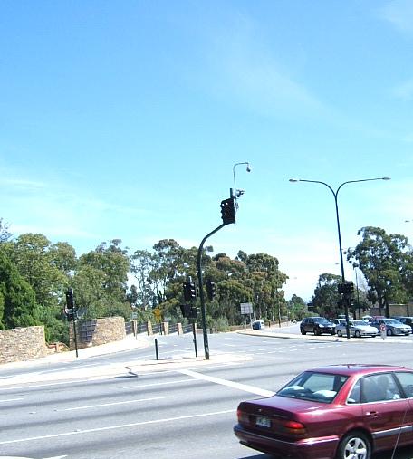
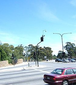 Cross Road. Urrbrae is on the left
Cross Road is a major arterial road that travels east-west through the inner southern suburbs of the Australian city of Adelaide.[1] Its western terminus is at Anzac Highway, travelling east and ending at Glen Osmond and the Adelaide Hills, joining the junction of Glen Osmond Road, Portrush Road, and Mount Barker Road.
There are two railway level crossings along Cross Road, one at Unley Park and another larger one at Emerson Crossing. This is also where South Road crosses over a large overpass built between 1982 and 1984, to reduce the traffic congestion which builds up during peak hour times.
There are a number of suburbs which Cross Road passes through and borders. These are:
- Black Forest
- Clarence Gardens
- Clarence Park
- Cumberland Park
- Edwardstown
- Glandore
- Glen Osmond
- Hawthorn
- Highgate
- Kings Park
- Kingswood
- Malvern
- Mrytle Bank
- Netherby
- Plympton
- Plympton Park
- South Plympton
- Unley Park
- Urrbrae
- Westbourne Park
References
 Road Infrastructure in Adelaide
Freeways Adelaide–Crafers Highway · Port River Expressway · South Eastern Freeway · Southern Expressway · Northern Expressway · Northern Connector (proposed) · South Road Superway (proposed) · North-South Corridor (proposed)
Highways and major roads Anzac Highway · Gawler Bypass Road · Glen Osmond Road · Grand Junction Road · Main North Road · Main South Road · Mount Barker Road · North East Road · Port Wakefield Road · Portrush Road · Salisbury Highway · Sir Donald Bradman Drive · South RoadOther roads City Ring Route · Cross Road · Daws Road · Fullarton Road · Goodwood Road · Greenhill Road · Hampstead Road · Kensington Road · Kings Road · McIntyre Road · Magill Road · Marion Road · Montacute Road · Montague Road · Tapleys Hill Road · The Parade · Regency Road · Torrens Road · Victoria RoadCity streets Grote Street · King William Street · Morphett Street · North Terrace · Pulteney Street · Wakefield Street · West TerraceTransport in Adelaide Categories:- Roads in Adelaide
Wikimedia Foundation. 2010.