- New York State Route 55A
-
NYS Route 55A
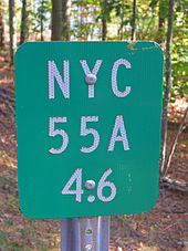
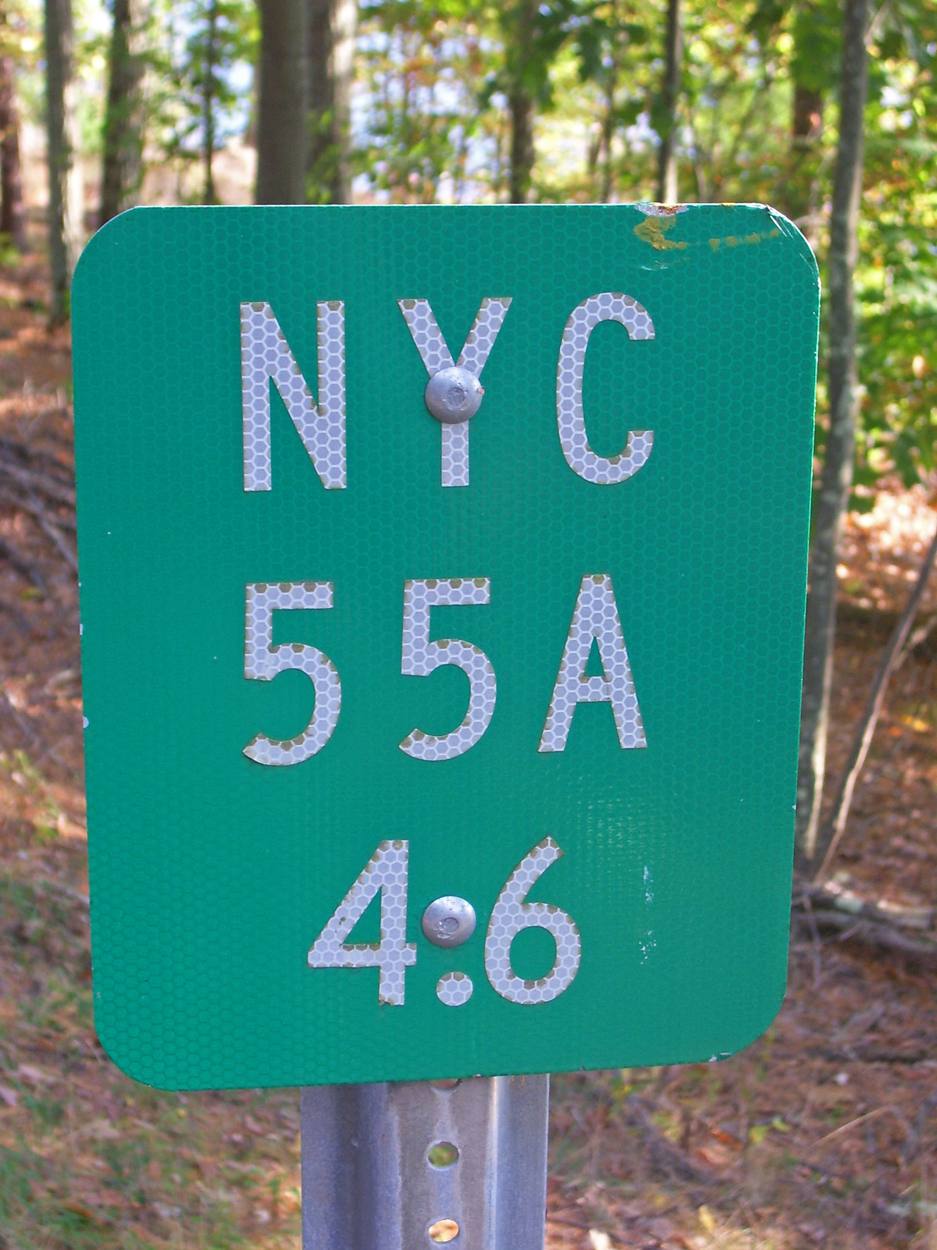
Route information Auxiliary route of NY 55 Maintained by NYCDOT Length: 9.52 mi[3] (15.32 km) Existed: mid-1940s[1][2] – present Major junctions West end:  NY 55 in Neversink
East end: NY 55 in WawarsingLocation Counties: Sullivan, Ulster Highway system Numbered highways in New York
Interstate • U.S. • N.Y. (former) • Reference • County← NY 55NY 56  →
→New York State Route 55A (NY 55A) is a state highway located in Sullivan and Ulster counties. It is a loop route connected to NY 55 at both ends, near Grahamsville in the west and Napanoch in the east. Inside the loop is New York City's Rondout Reservoir, which provides some beautiful scenery from both highways.
Contents
Route description
NY 55A leaves NY 55 just east of Grahamsville, going at first slightly northeast along the west end of the reservoir. In a mile it turns abruptly to the right once again as the roadway it follows continues as a county road to Sundown.
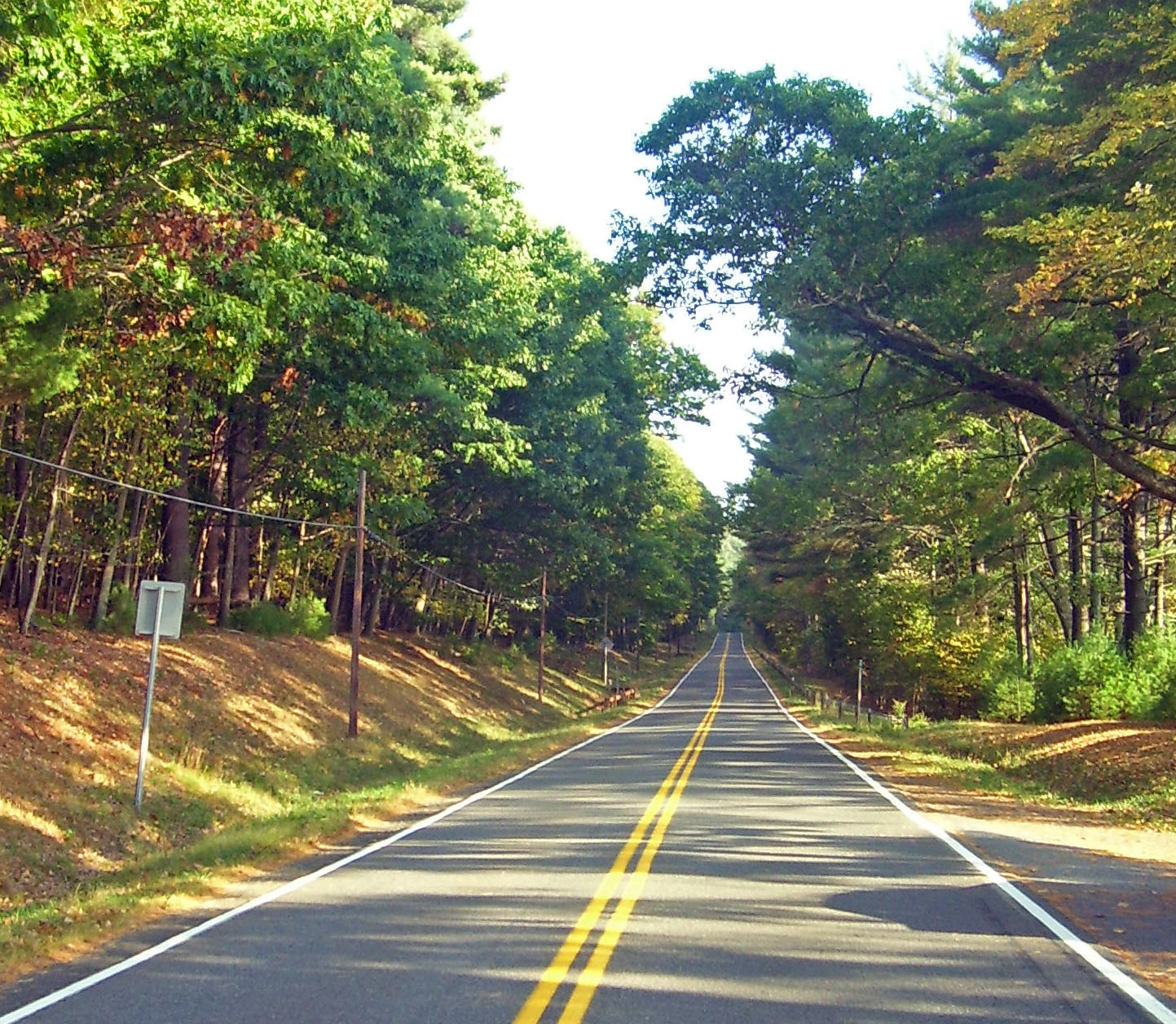
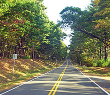 Route 55A along the reservoir's north shore.
It crosses the mouth of Rondout Creek on a long bridge over swampy areas where the creek reaches the reservoir. Afterwards it goes into much more wooded land.
It remains close to the reservoir's north shore for the rest of its route, offering many glimpses of the reservoir and access to it for those who have boating or fishing permits (Otherwise, access is severely restricted). At the east end of the reservoir, the view to Merriman Dam is better from NY 55A than from NY 55.
Not long afterward, NY 55A ends at NY 55 once again in the town of Wawarsing, several miles northwest of the community of Napanoch.
History
When NY 55 was assigned as part of the 1930 renumbering of state highways in New York, it was routed along the northern bank of Rondout Creek between the hamlets of Grahamsville and Lackawack.[4][5] In the mid-1940s, NY 55 was realigned to follow a new highway along the southern bank while its former routing to the north became NY 55A. The westernmost portion of the northern route was also reconfigured by this time to cross Rondout Creek at Lowes Corners.[1][2] Both changes were made in order to accommodate the Rondout Reservoir, which was created ca. 1950 following the construction of the Merriman Dam. The reservoir was completely contained within the NY 55 / NY 55A loop, with NY 55 forming the southern edge and NY 55A comprising the western and northern extents.[6][7]
Major intersections
County Location Mile[3] Destinations Notes Sullivan Neversink 0.00 NY 55Ulster Wawarsing 9.52 NY 551.000 mi = 1.609 km; 1.000 km = 0.621 mi References
- ^ a b Esso (1942). New York with Pictorial Guide (Map). Cartography by General Drafting.
- ^ a b State of New York Department of Public Works. Official Highway Map of New York State (Map). Cartography by General Drafting (1947–48 ed.).
- ^ a b "2008 Traffic Data Report for New York State" (PDF). New York State Department of Transportation. June 16, 2009. p. 199. https://www.nysdot.gov/divisions/engineering/technical-services/hds-respository/NYSDOT_Traffic_Data_Report_2008.pdf. Retrieved January 10, 2010.
- ^ Standard Oil Company of New York (1929). New York in Soconyland (Map). Cartography by General Drafting.
- ^ Standard Oil Company of New York (1930). Road Map of New York (Map). Cartography by General Drafting.
- ^ Esso (1949). New York (Map). Cartography by General Drafting (1950 ed.).
- ^ Socony-Vacuum Oil Company (1950). New York (Map). Cartography by Rand McNally and Company.
External links
Categories:- State highways in New York
- Transportation in Ulster County, New York
- Transportation in Sullivan County, New York

Wikimedia Foundation. 2010.