- Nagai, Yamagata
-
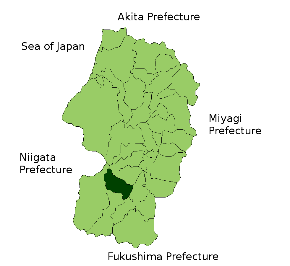
Nagai
長井市— City — Location of Nagai in Yamagata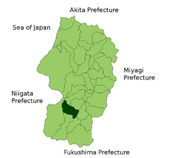

 Nagai
NagaiCoordinates: 38°6′N 140°2′E / 38.1°N 140.033°ECoordinates: 38°6′N 140°2′E / 38.1°N 140.033°E Country Japan Region Tōhoku Prefecture Yamagata Government - Mayor Shigeharu Uchiya Area - Total 214.69 km2 (82.9 sq mi) Population (October 1, 2008) - Total 29,959 - Density 140/km2 (362.6/sq mi) Time zone Japan Standard Time (UTC+9) City symbols - Tree Azalea - Flower Iris Phone number 0238-84-2111 Address 5-1 Mamanoue, Nagai-shi, Yamagata-ken
993-8601Website City of Nagai Nagai (長井市 Nagai-shi) is a city located in Yamagata prefecture, Japan.
As of 2008, the city has an estimated population of 29,959 and the density of 140 persons per km². The total area is 214.69 km².
The city was founded on November 15, 1954. It has been twinned with Bad Säckingen in South Germany since 1983, and is famous for the rainbow plan.[clarification needed]
Contents
Transportation
Train stations
- JR East
- Yamagata Railway Company
Major roads
- Route 113, Route 287
External links
- Nagai official website in Japanese
 Yamagata Prefecture
Cities 
Akumi Higashimurayama Higashiokitama Higashitagawa Kitamurayama Mogami Nishimurayama Nishiokitama Categories:- Cities in Yamagata Prefecture
- Yamagata geography stubs

Wikimedia Foundation. 2010.