- O'Leno State Park
-
O'Leno State Park IUCN Category V (Protected Landscape/Seascape)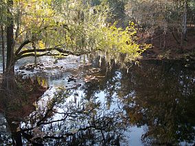
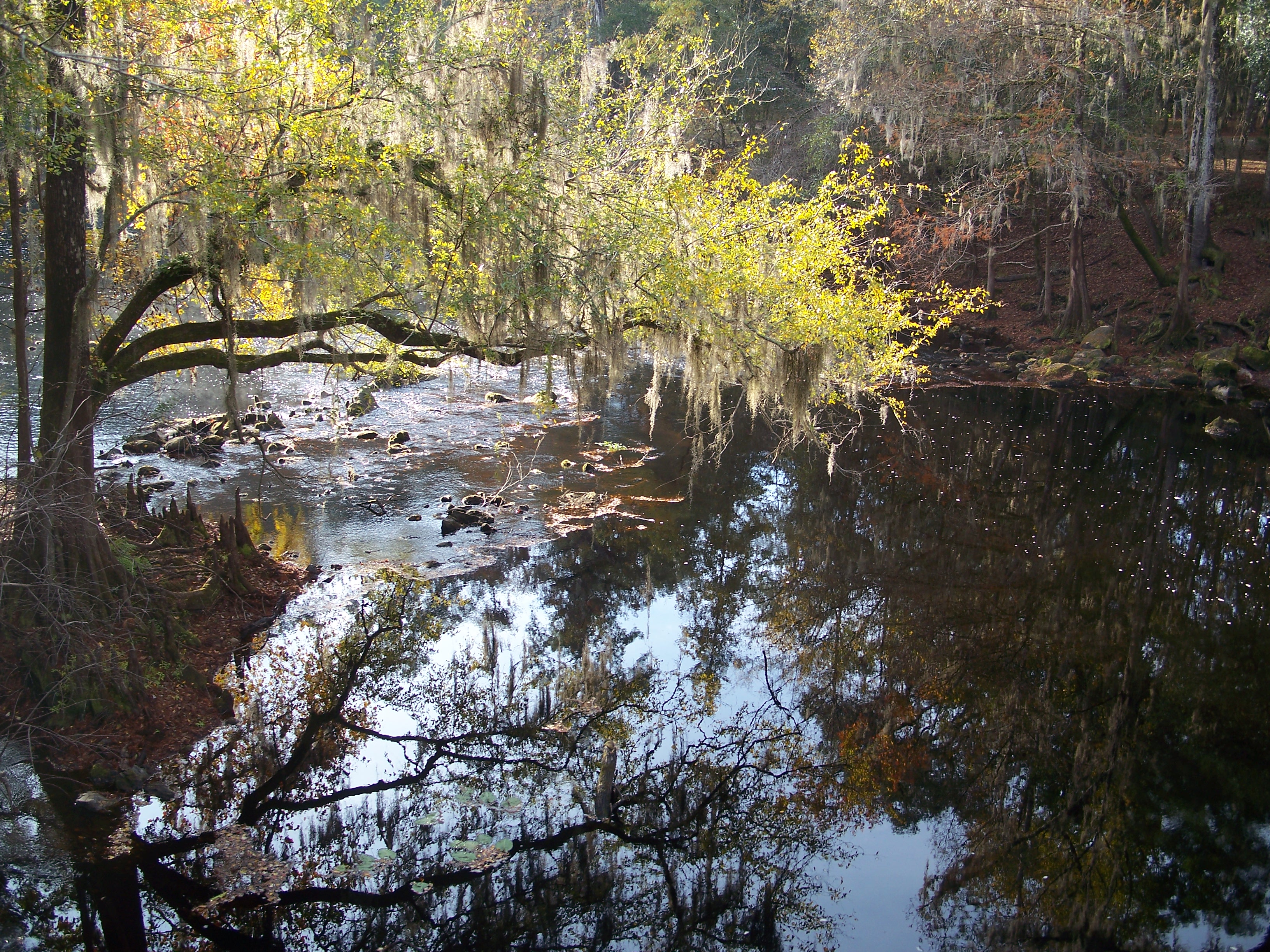
Santa Fe River

Location Columbia County, Florida, USA Nearest city High Springs, Florida Coordinates 29°55′01″N 82°35′02″W / 29.91694°N 82.58389°WCoordinates: 29°55′01″N 82°35′02″W / 29.91694°N 82.58389°W Governing body Florida Department of Environmental Protection O'Leno State Park is a Florida State Park located on the Santa Fe River six miles north of High Springs on U.S. 441. Many facilities at the park were built by the Civilian Conservation Corps in the 1930s.
Contents
Geology
The park is made up of sinkholes, hardwood hammocks, river swamps, and sandhills. The Santa Fe River runs through the park, disappearing into a sinkhole and re-appearing approximately 3.5 miles away at River Rise Preserve State Park, forming a natural land bridge. At one time, the historic Bellamy Road ran across this land bridge.
Fauna
Among the wildlife of the park are white tailed deer, squirrel, alligators, turtles, raccoons and gopher tortoises.
Recreational activities
Amenities include a more than 13 miles of hiking, biking and horseback riding trails, picnic pavilions, and a full-facility campground which includes family, primitive, youth and group camping.
Hours
Florida state parks are open between 8 a.m. and sundown every day of the year (including holidays).
Gallery
-

Picnic Shelter built by the CCC.
-

CCC-built Recreation Hall
-

Suspension Footbridge, also CCC-built
-

One of many sinkholes in the park.
References and external links
 Media related to O'Leno State Park at Wikimedia Commons
- O'Leno State Park at Florida State Parks
Categories:- IUCN Category V
- Parks in Columbia County, Florida
- Florida state parks
- Civilian Conservation Corps in Florida
- Florida state park stubs
-


Wikimedia Foundation. 2010.