- Mike Roess Gold Head Branch State Park
-
Mike Roess Gold Head Branch State Park IUCN Category V (Protected Landscape/Seascape)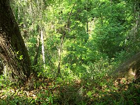

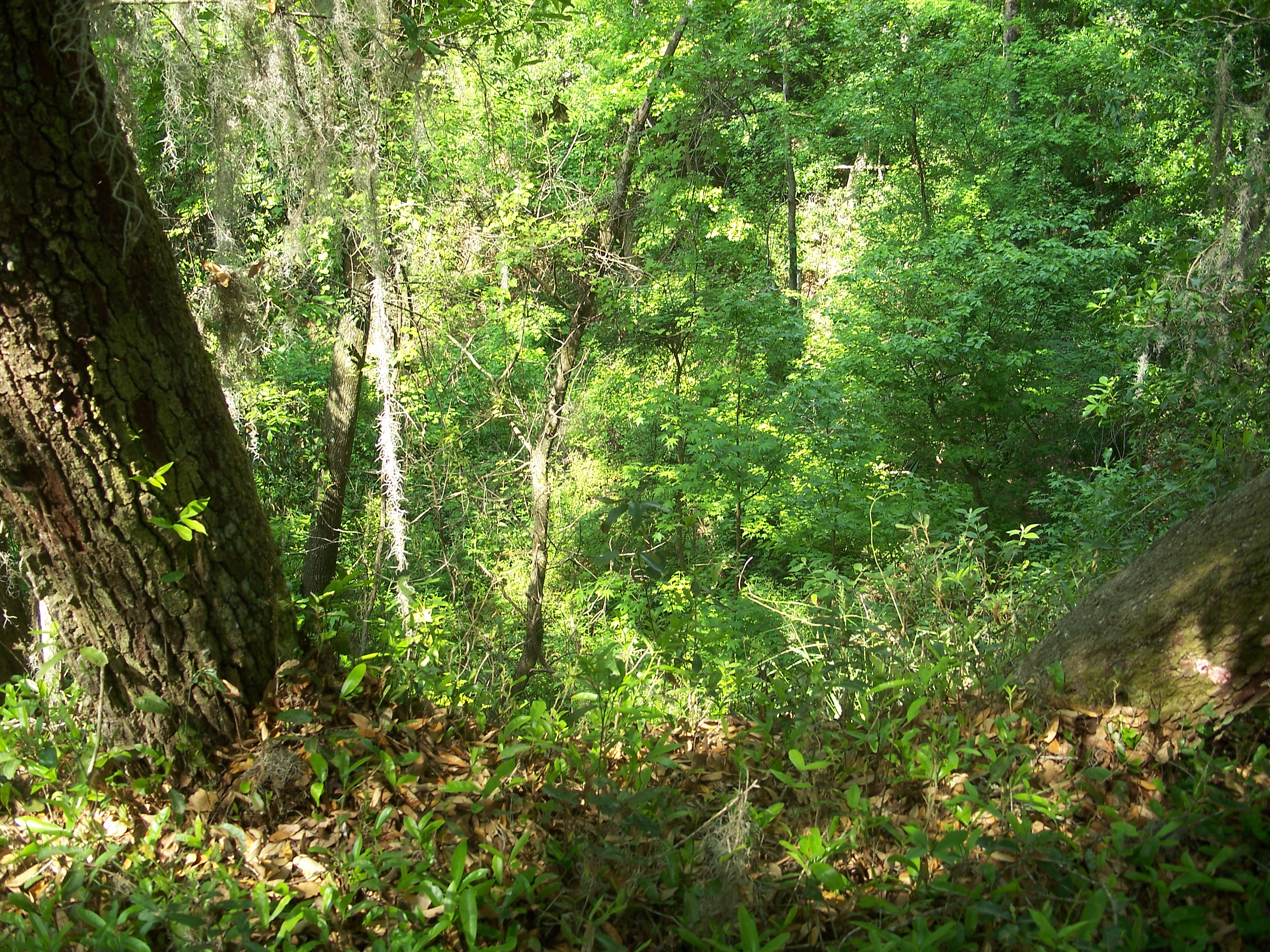
Location Clay County, Florida, USA Nearest city Keystone Heights, Florida Coordinates 29°49′55″N 81°57′11″W / 29.83194°N 81.95306°WCoordinates: 29°49′55″N 81°57′11″W / 29.83194°N 81.95306°W Area 2,000 acres (8.1 km2) Established 1935 Governing body Florida Department of Environmental Protection Gold Head Branch State Park, a Florida State Park, is 2,000 acres (8 km²) of rolling sandhills, marshes, ravines, lakes and scrub located midway between Gainesville and Jacksonville, six miles (10 km) north of Keystone Heights on SR 21.
Contents
Biology
Among the wildlife of the park are fox squirrels, southeastern kestrels, red-tailed hawks, bald eagles, turkeys, and gopher tortoises. The park also has pocket gopher, fox, white-tailed deer and variety of water and wading birds. The park has a diversity of wild flowers. Among them are blazing Star, goldenrod, and lopsided Indian grass.
Recreational activities
Activities include fishing, horseback riding, canoeing, swimming, hiking and wildlife viewing. Amenities include full facility camping, lakeside cabins, a picnic area overlooking Little Lake Johnson, and a beach on the lake. The park also has four marked hiking trails and a seven mile (11 km) equestrian trail.
Hours
Florida state parks are open between 8 a.m. and sundown every day of the year (including holidays).
References and external links
 Media related to Mike Roess Gold Head Branch State Park at Wikimedia Commons
- Mike Roess Gold Head Branch State Park at Florida State Parks
- Gold Head Branch State Park at State Parks
- Gold Head Branch State Park at Absolutely Florida
- Gold Head Branch State Park at Wildernet
Categories:- IUCN Category V
- Parks in Clay County, Florida
- Florida state parks
- Protected areas established in 1935
- Florida state park stubs

Wikimedia Foundation. 2010.