- Delnor-Wiggins Pass State Park
-
Delnor-Wiggins Pass State Park IUCN Category V (Protected Landscape/Seascape)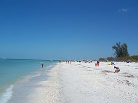

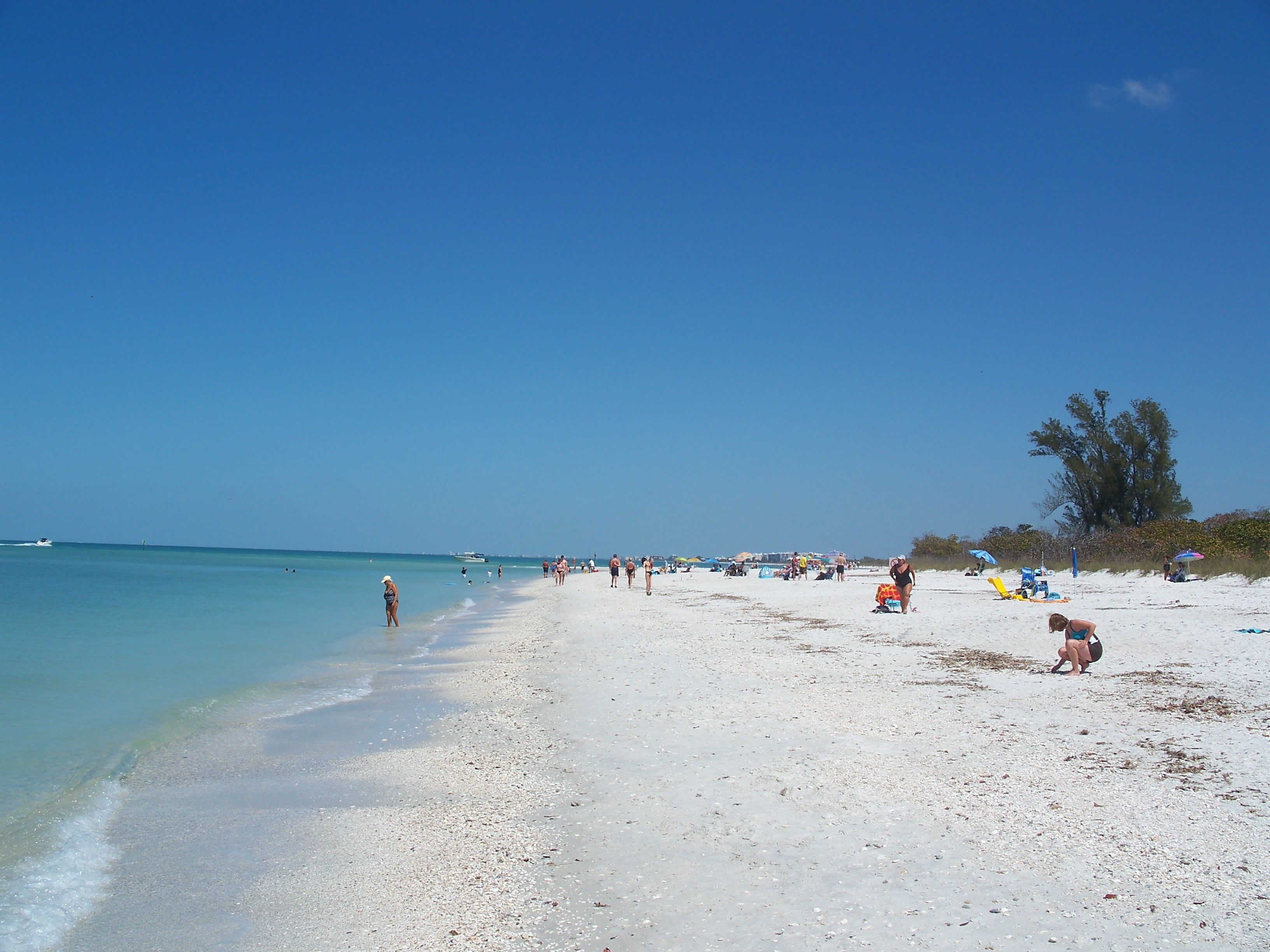
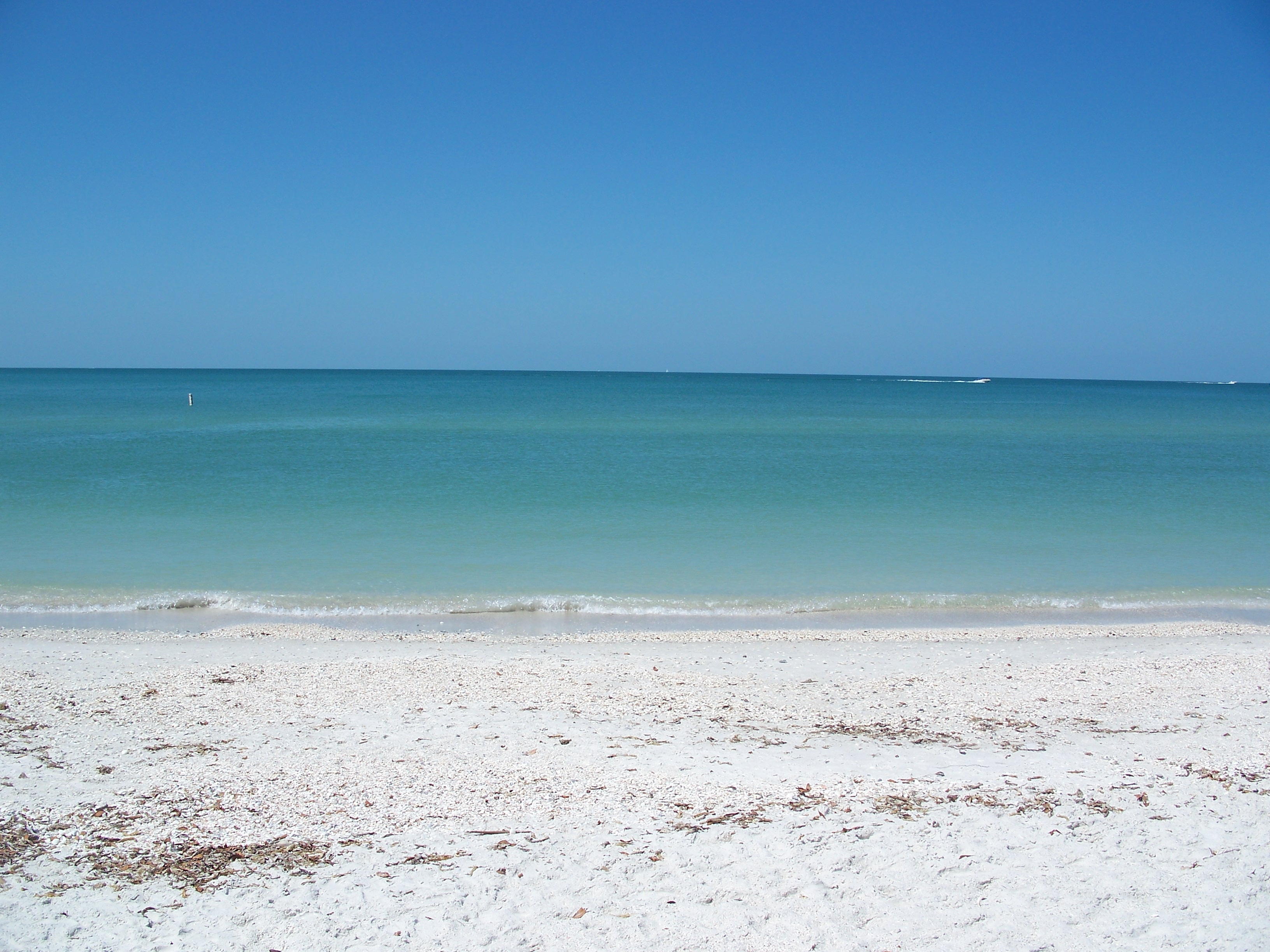
Location Collier County, Florida, USA Nearest city Naples, Florida Coordinates 26°16′52″N 81°49′41″W / 26.28111°N 81.82806°WCoordinates: 26°16′52″N 81°49′41″W / 26.28111°N 81.82806°W Established 1981 Governing body Florida Department of Environmental Protection Delnor-Wiggins Pass State Recreation Area is a Florida State Park located on a barrier island on Florida's southwest coast near Naples, Florida, six miles west of Exit 111 on I-75. The Cocohatchee River and the Gulf of Mexico are accessible from the park, which contains a hard bottom reef.
Contents
Fauna
Among the wildlife of the park are bald eagles, ospreys, owls, loggerhead sea turtles, West Indian manatees and migratory shorebirds. The Endangered Gopher Tortoise can also be found there. It is the only Tortoise found East of the Mississippi River.
Recreational activities
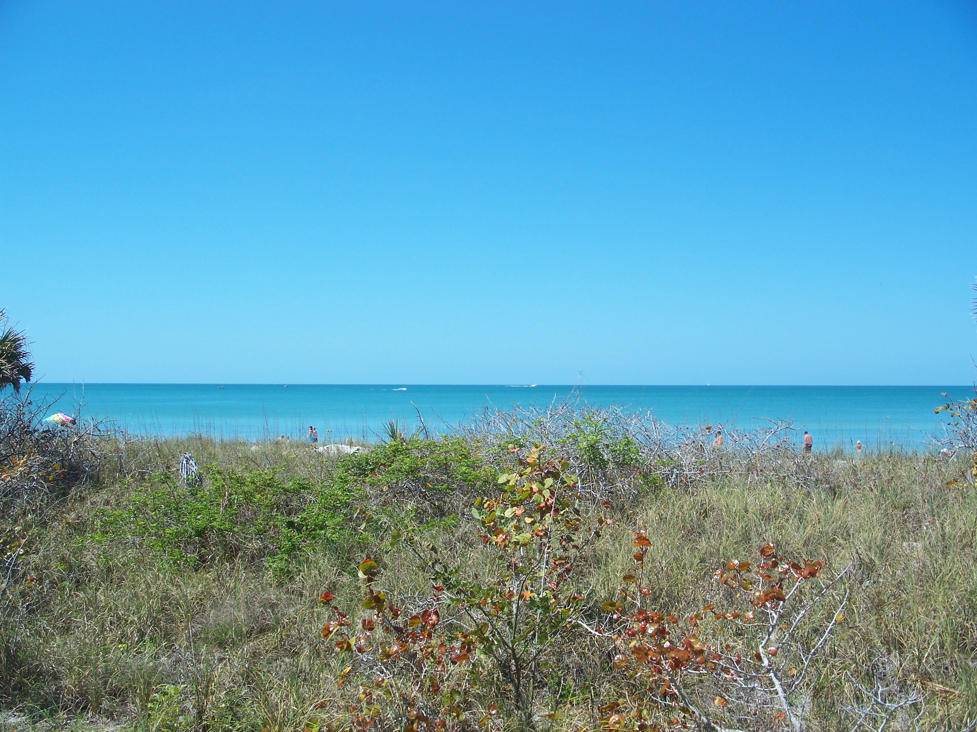
Activities include fishing, sunbathing, swimming, beachcombing, boating and nature viewing. Visitors can also scuba dive, snorkel, kayak, and picnic.
Amenities include beaches, boat ramp and docks, picnic areas and a pavilion that can hold 100, and boardwalks that lead to the picnic areas.
Hours
Florida state parks are open between 8 a.m. and sundown every day of the year (including holidays).
Gallery
References and external links
 Media related to Delnor-Wiggins Pass State Park at Wikimedia Commons
- Delnor-Wiggins Pass State Park at Florida State Parks
- Delnor-Wiggins Pass State Recreation Area at Absolutely Florida
- Delnor-Wiggins Pass State Recreation Area at Wildernet
Categories:- IUCN Category V
- Florida state parks
- Parks in Collier County, Florida
- Beaches of Florida
- Protected areas established in 1981
- Florida state park stubs
-

Wikimedia Foundation. 2010.