- Nathalia, Victoria
-
Nathalia
Victoria
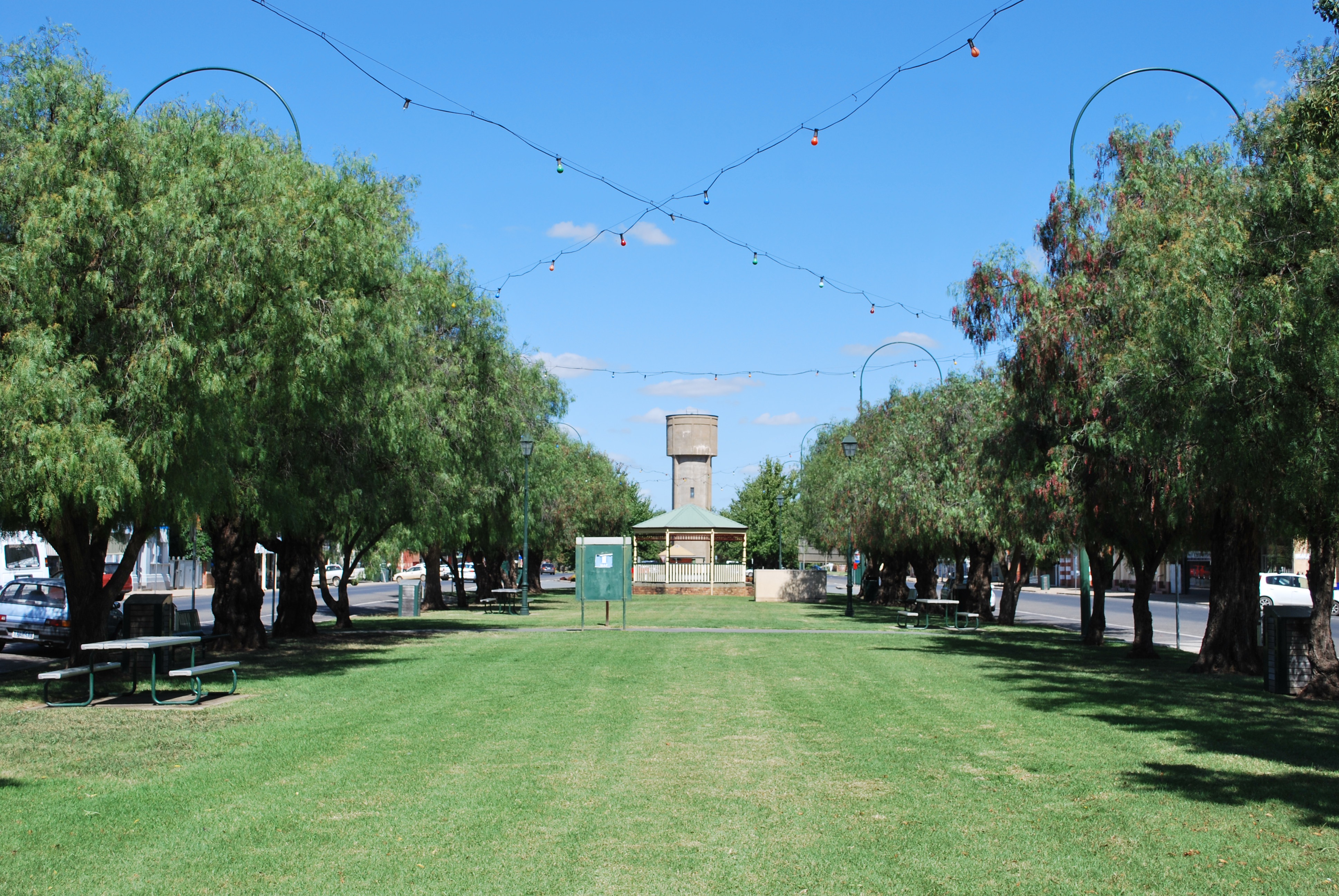
Park in the centre of Blake St, the main street of town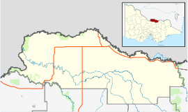
 Nathalia
Population: 1,431[1] Established: 1875 Postcode: 3638 Coordinates: 36°03′30″S 145°12′13″E / 36.05833°S 145.20361°ECoordinates: 36°03′30″S 145°12′13″E / 36.05833°S 145.20361°E Location: - 217 km (135 mi) from Melbourne
- 42 km (26 mi) from Shepparton
- 56 km (35 mi) from Echuca
LGA: Shire of Moira State District: Murray Valley Federal Division: Murray Nathalia (
 /nəˈθeɪliə/ nə-thay-li-ə)[2] is a town in northern Victoria, Australia. The town is located within the Shire of Moira Local government area on the banks of Broken Creek and on the Murray Valley Highway. At the 2006 census, Nathalia had a population of 1,431.[1]
Prior to European settlement, the area around Nathalia was occupied by the Yorta Yorta people. In 1838, Charles Sturt was the first European to explore the area, following the Murray River downstream.. The squatter, W.J Locke established Kotupna station on the future site of Nathalia in 1843. The station was broken up for closer settlement in 1869. A selector, Richard Blake took up the townsite in 1875 and established a sawmill and flour mill soon after. Hotels, a post office (opened on 7 September 1878)[3], schools and churches followed and Nathalia was officially gazetted as a village in 1880. The railway arrived in 1888, allowing local production to increase and a butter factory was established in 1895.[4]
The main industries in Nathalia are dairy farming, cropping and grazing.
Nathalia has both a government high school [5] and primary school as well as a regional Catholic college and a Catholic primary school. There is also a campus of the Glenvale School, an independent primary and secondary school [6]
The town is also well known for quality sporting facilities for its size. Notable sporting clubs in Nathalia include Nathalia Football Club competing in the Murray Football League.
Golfers play at the course of the Nathalia Golf Club on Paynes Road.[7]
The annual agricultural show is held on the first Saturday in October. The Nathalia and Lower Moira Agricultural Pastoral and Horticultural Association held its first agricultural show in 1888, after a prolonged drought in the district. A New Year's Eve carnival is held every year.
Nathalia is developing its creative arts tourist potential through the Nathalia Living Arts/ Rural Arts Project under the guidance of internationally recognised resident artist William Kelly
References
- ^ a b Australian Bureau of Statistics (25 October 2007). "Nathalia (Urban Centre/Locality)". 2006 Census QuickStats. http://www.censusdata.abs.gov.au/ABSNavigation/prenav/LocationSearch?collection=Census&period=2006&areacode=UCL237600&producttype=QuickStats&breadcrumb=PL&action=401. Retrieved 31 May 2010.
- ^ Macquarie Dictionary, Fourth Edition (2005). Melbourne, The Macquarie Library Pty Ltd. ISBN 1-876429-14-3
- ^ Premier Postal History, Post Office List, https://www.premierpostal.com/cgi-bin/wsProd.sh/Viewpocd.w?, retrieved 2008-04-11
- ^ "Nathalia". Travel (Sydney Morning Herald). 2004-02-08. http://www.smh.com.au/news/Victoria/Nathalia/2005/02/17/1108500207092.html. Retrieved 2007-06-16.
- ^ Nathalia Secondary College Website
- ^ http://www.glenvaleschool.com.au
- ^ Golf Select, Nathalia, http://www.golfselect.com.au/armchair/courseView.aspx?course_id=1049, retrieved 2009-05-11
External links
Towns in the Shire of Moira Local Government Area Bearii · Barmah · Bundalong · Cobram · Invergordon · Katamatite · Katunga · Koonoomoo · Lake Rowan · Nathalia · Numurkah · Picola · St James · Strathmerton · Tungamah · Waaia · Wilby · Wunghnu · Yarroweyah · Yarrawonga
Categories:- Towns in Victoria (Australia)
- Victoria (Australia) geography stubs

Wikimedia Foundation. 2010.