- Chauvigné
-
Chauvigné
Kelvinieg
 ChauvignéLocation within Brittany region
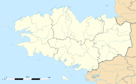 Chauvigné
Administration Country France Region Brittany Department Ille-et-Vilaine Arrondissement Fougères-Vitré Canton Antrain Intercommunality Antrain Mayor Henri Rault
(2008—2014)Statistics Elevation 30–107 m (98–351 ft) Land area1 17.71 km2 (6.84 sq mi) Population2 575 (1999) - Density 32 /km2 (83 /sq mi) INSEE/Postal code 35075/ 35490 1 French Land Register data, which excludes lakes, ponds, glaciers > 1 km² (0.386 sq mi or 247 acres) and river estuaries. 2 Population without double counting: residents of multiple communes (e.g., students and military personnel) only counted once. Coordinates: 48°22′36″N 1°27′32″W / 48.3766666667°N 1.45888888889°W
Chauvigné (Breton: Kelvinieg, Gallo: Chauveinyaé) is a commune in the Ille-et-Vilaine department in Brittany in north-western France.
Contents
Geography
Chauvigné is located at 38 km (24 mi) northeast of Rennes and 30 km (19 mi) south of the Mont Saint-Michel.
The communes bordering are Tremblay, Saint-Marc-le-Blanc, Le Tiercent, Saint-Christophe-de-Valains, Vieux-Vy-sur-Couesnon and Romazy.
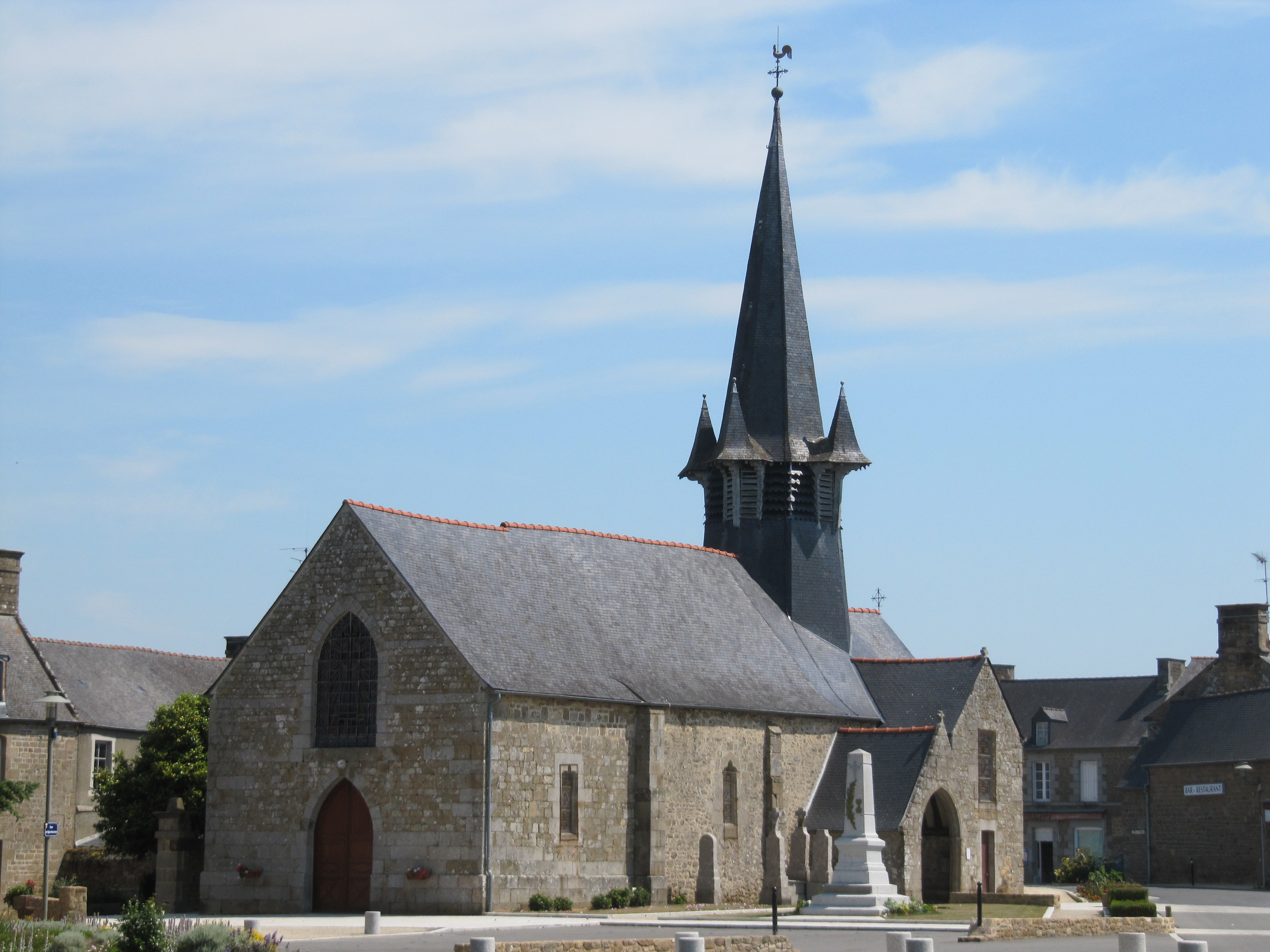
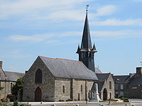 The church of Chauvigné
Demographics
Inhabitants of Chauvigné are called Chauvignéens.
As of the census of 1999, the village had a population of 575.
The estimate for 2004 was 665.See also
External links
- Geography of Brittany
- The page of the commune on infobretagne.com
- The data base Mérimée - the French architectural heritage
Categories:- Communes of Ille-et-Vilaine
- Ille-et-Vilaine geography stubs


Wikimedia Foundation. 2010.