- Saint-Ouen-la-Rouërie
French commune
nomcommune= Saint-Ouen-la-Rouërie
native_name=Sant-Owen-Reoger
caption=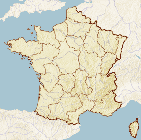
x=69
y=80
lat_long=coord|48|27|49|N|1|26|23|W|region:FR_type:city
région=Bretagne
département=Ille-et-Vilaine
arrondissement=Fougères
canton=Antrain
insee=35303
cp=35460
maire=Claude Guérin
mandat=2001-2008
intercomm=Antrain
alt moy=83 m
alt mini=12
alt maxi=114 m
hectares=2112
km²=21.12
sans=751
date-sans=1999
dens=35
date-dens=1999Saint-Ouen-la-Rouërie ( _br. Sant-Owen-Reoger) is a commune in the
Ille-et-Vilaine department inBrittany in northwesternFrance .Location
The commune lies 47 km northeast of
Rennes and 21 km south ofMont Saint-Michel on the border withNormandy .Saint-Ouen's adjoining communes are
Sacey andMontanel inManche , andCoglès , Tremblay, andAntrain inIlle-et-Vilaine .Demographics
Inhabitants of Saint-Ouen-la-Rouërie are called "Audoniens".
DemogFR
1793=1972
1800=1743
1806=1663
1821=1500
1831=2076
1836=2106
1841=2053
1846=2105
1851=2152
1856=2082
1861=2102
1866=2020
1872=1973
1876=1933
1881=1903
1886=1828
1891=1837
1896=1670
1901=1630
1906=1634
1911=1579
1921=1310
1926=1306
1931=1397
1936=1350
1946=1276
1954=1247
1962=1186
1968=1046
1975=950
1982=836
1990=783
1999=751
Wikimedia Foundation. 2010.