- Bowland Forest Low
-
Coordinates: 53°54′36″N 2°29′24″W / 53.910°N 2.490°W
Bowland Forest Low 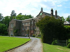
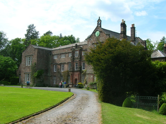
Browsholme Hall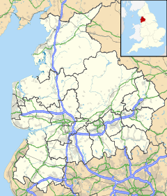
 Bowland Forest Low
Bowland Forest Low shown within LancashirePopulation 168 (2001 Census) OS grid reference SD675455 Parish Bowland Forest Low District Ribble Valley Shire county Lancashire Region North West Country England Sovereign state United Kingdom Post town CLITHEROE Postcode district BB7 Dialling code 01254/01200 Police Lancashire Fire Lancashire Ambulance North West EU Parliament North West England UK Parliament Ribble Valley List of places: UK • England • Lancashire Bowland Forest Low is a civil parish in the Ribble Valley district of Lancashire, England, covering some 5500 acres of the Forest of Bowland. According to the 2001 census, the parish had a population of 168. The parish includes the hamlets of Whitewell and Cow Ark. From northwards clockwise, it borders the civil parishes of Newton, Bashall Eaves, Aighton, Bailey and Chaigley, Bowland-with-Leagram and Bowland Forest High. Prior to 1974, it formed part of Bowland Rural District in the West Riding of Yorkshire.
Contents
History
See also: Lordship of BowlandHistoric Bowland comprised a Royal Forest and a Liberty of ten manors spanning eight townships and four parishes and covered an area of almost 300 square miles (800 km2) on the historic borders of Lancashire and Yorkshire. The forest courts for the Forest of Bowland, the woodmote and swainmote, originally appear to have been held at Hall Hill near Radholme Laund before moving to Whitewell sometime in the 14th century.
For much of the 20th century, experts thought that the Lordship of Bowland belonged to the Crown. In 1938, the Duchy of Lancaster had acquired some 6,000 acres (24 km2) of the Forest of Bowland, now known as the Whitewell Estate, and it was believed the Lordship of Bowland had been acquired with it. In 2008, however, Charles Towneley Strachey claimed the title, after a researcher discovered that the 1938 purchase, while including mineral, sporting and forestry rights, specifically excluded the Lordship itself, which had been retained by an extinct Towneley family trust. Strachey then went on to auction the title,[1] which was purchased by a Cambridge University don.[2][3][4]
Geography
The roman road known as Watling Street, that runs from Manchester via Ribchester to Carlisle, passes in a NNE direction through the parish.
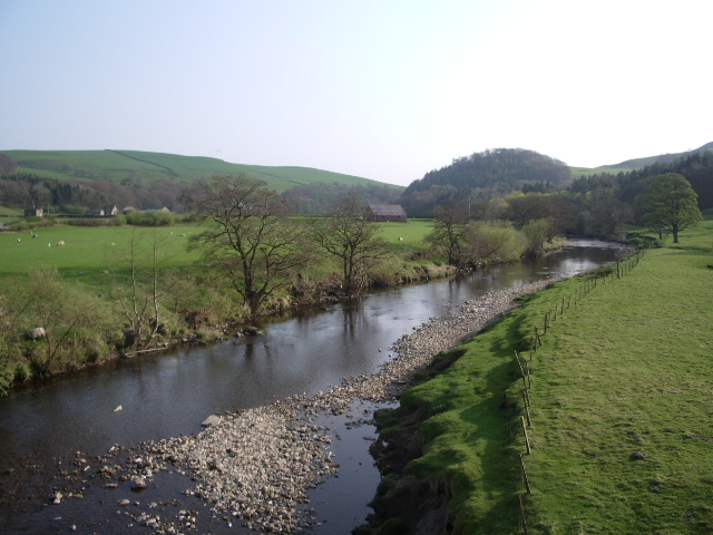
The River Hodder flows along the western and southern borders of the parish, and south of Burholme bridge, anciently formed the Lancashire – Yorkshire border.
Governance
The civil parish of Bowland Forst Low was created from the township (in the ancient parish of Whalley) with the same name in 1866. In 1938, two geographically non-contiguous areas where transferred to Grindleton and Slaidburn.[5]
Media gallery
-
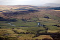
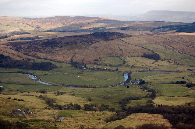
View across the Parish.
-
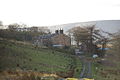
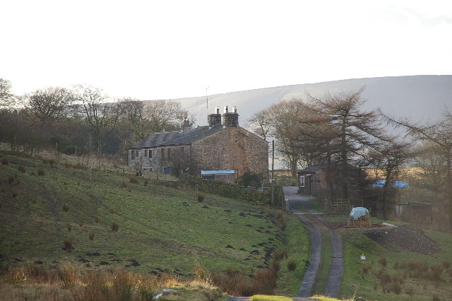
Crimpton Farm.
-

The Parish Church of St Michael, Whitewell.
-
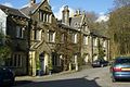
The Inn at Whitewell.
-

The River Hodder.
See also
- Bowbearer#Parker family
References
- ^ Lancashire Telegraph, 31 October 2009: http://www.lancashiretelegraph.co.uk/news/4713002 Lord_of_Bowland_title_sold_at_auction
- ^ Lancashire Evening Post, 10 November 2009: http://www.lep.co.uk/news/Buyer-of-aristocratic-title-revealed.5809156.jp
- ^ Lancashire Telegraph, 13 November 2009: http://www.lancashiretelegraph.co.uk/news/4738892.New_Lord_of_Bowland_is_don_at_top_university/
- ^ "Keeping Up Traditions of Beautiful Bowland". Lancashire Evening Post. 22 April 2010. http://www.lep.co.uk/news/Keeping-up-traditions-of-beautiful.6245636.jp.
- ^ "History of BOWLAND FOREST LOW". visionofbritain.org.uk. http://www.visionofbritain.org.uk/relationships.jsp?u_id=10399877. Retrieved 2011-05-05.
Categories:- Civil parishes in Lancashire
- Geography of Ribble Valley
- Forest of Bowland
-


Wikimedia Foundation. 2010.