- Aighton, Bailey and Chaigley
-
Coordinates: 53°50′N 2°29′W / 53.84°N 2.49°W
Aighton, Bailey and Chaigley 
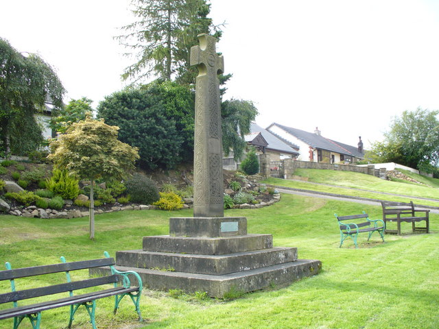
Boer War Memorial at Hurst Green
 Aighton, Bailey and Chaigley
Aighton, Bailey and Chaigley shown within LancashirePopulation 1,249 (2001) OS grid reference SD6837 District Ribble Valley Shire county Lancashire Region North West Country England Sovereign state United Kingdom Post town CLITHEROE Postcode district BB7 Dialling code 01254 Police Lancashire Fire Lancashire Ambulance North West EU Parliament North West England UK Parliament Ribble Valley List of places: UK • England • Lancashire Aighton, Bailey and Chaigley is a civil parish in the Borough of Ribble Valley in Lancashire, England, just west of Clitheroe. The main settlements in the parish are Hurst Green and Walker Fold. Other places are Aighton, Bailey and Chaigley, originally three hamlets forming a township. The parish has a population of 1,249.[1] Stonyhurst College is located near to Hurst Green, within the parish.
Aighton
Aighton was mentioned in the Imperial Gazetteer of England and Wales by John Marius Wilson, who wrote:[2]
AIGHTON, one of three hamlets forming a township in the parish of Mitton, Lancashire. It lies near Hodder river, under Longridge fell, 3½ miles NNW of Whalley r. station, and 5 WSW of Clitheroe. It contains cotton factories, a workhouse, and the Roman Catholic college of Stonyhurst. The other hamlets of the township are Bailey and Chaighley. Acres in the three, 5,780. Real property, £6,726. Pop., 1,500. Houses, 244.
References
- ^ Office for National Statistics : Census 2001 : Parish Headcounts : Ribble Valley Retrieved 31 July 2010
- ^ Stringer, Phil (2005-02-09). "Aighton". GENUKI. http://www.genuki.org.uk/big/eng/LAN/AightonBaileyandChaigley/. Retrieved 2008-04-17.
Categories:- Geography of Ribble Valley
- Civil parishes in Lancashire
- Villages in Lancashire
- Forest of Bowland
- Lancashire geography stubs

Wikimedia Foundation. 2010.