- Nelson, Nevada
-
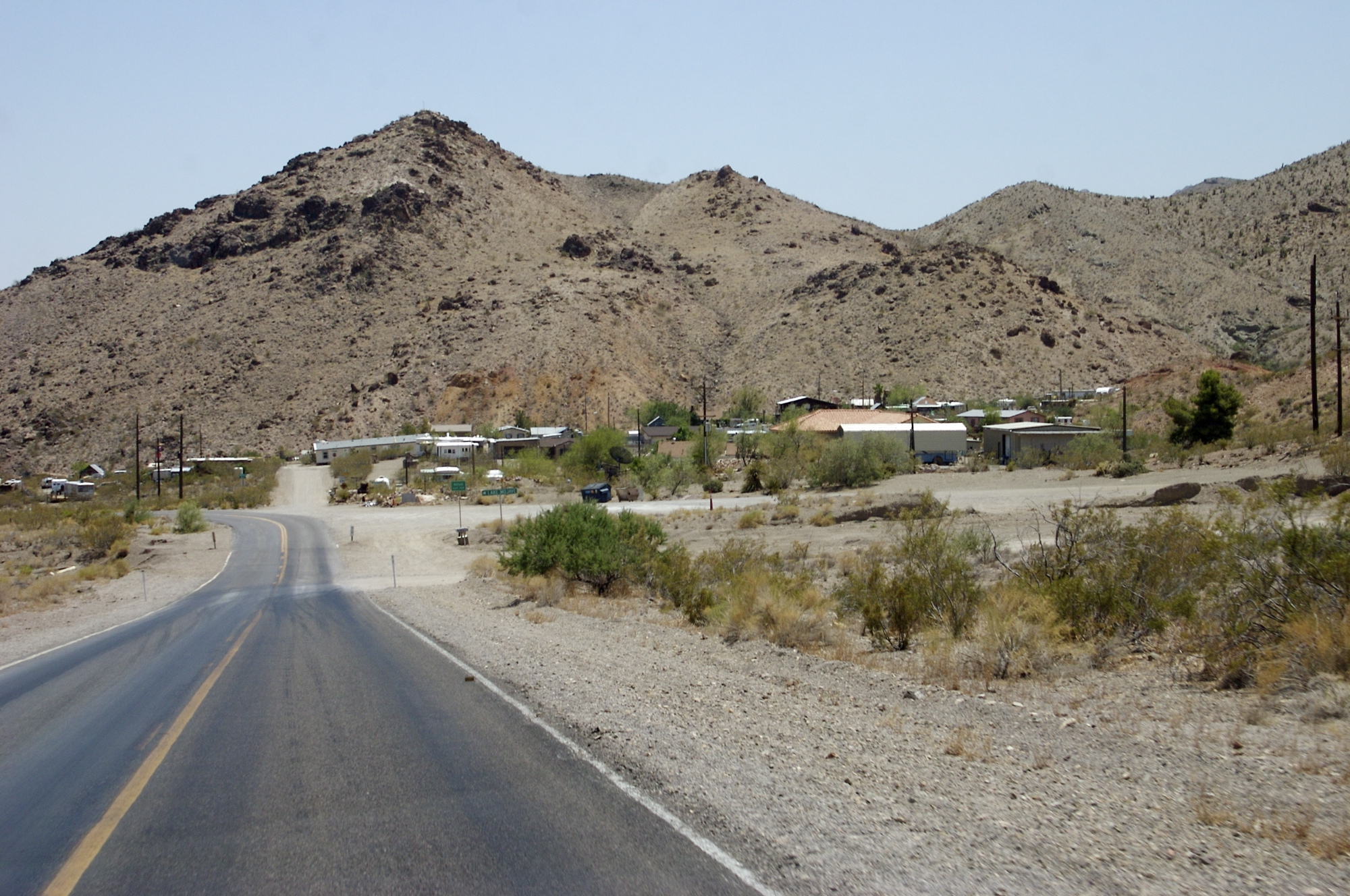
Nelson — Unincorporated community — View of Nelson, from the west Location within the state of Nevada
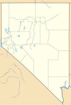
 Nelson
Coordinates: 35°27′58″N 114°55′38″W / 35.46611°N 114.92722°WCoordinates: 35°27′58″N 114°55′38″W / 35.46611°N 114.92722°W Country United States State Nevada County Clark
(Eldorado Valley)Time zone Pacific (PST) (UTC-8) - Summer (DST) PDT (UTC-7) ZIP codes FIPS code GNIS feature ID Nelson is an unincorporated community in Clark County, Nevada, United States, in the Las Vegas metropolitan area. The community is in the Pacific Standard Time zone. The location of Nelson is in El Dorado Canyon, Eldorado Mountains. The town is in the southeast region of the Eldorado Valley.
Nelson is on the Nevada side of the Colorado River about 16 miles (26 km) north of Cottonwood Cove, Nevada by water. It is a common misconception that Nelson is on the Nevada side of Lake Mojave[citation needed], but in fact Nelson is upstream by about 16 miles. Nelson is about 25 miles from Boulder City by road. One of the biggest mining booms in state history occurred near here, in the El Dorado Canyon. Gold and silver were discovered here around 1859.
In its heyday, the area established a reputation for being rough and lawless. During the American Civil War, deserters from both the Union and Confederate armies would wander there, hoping that such an isolated location would be the last place military authorities would look for them.
Nelson's Landing, about five miles west in Eldorado Canyon, is noted for washing into Lake Mohave in 1974 after a strong downpour in the regional mountains sent the runoff down the channels and produced a flash flood. There are five wide channels that run from the local mountains toward the river. The problem is that they all converge into a small outlet where Nelson's Landing was. The entire landing and village was destroyed and nine people died when the flood came through the wash. The wall of water and debris was reported as about 40 feet (12 meters) high as it reached the river.
Much of Nelson, which was not impacted by the 1974 flood, remains today and is located way up the wash, away from the flood channels. The sparsely populated community consists mainly of privately owned ranch houses, and a river and mining tour business housed in a former Texaco gas station that has been used as a filming location for several feature films, including 3000 Miles to Graceland.
The community was named for Charles Nelson, a prospector who was slain at his mine in 1897.[citation needed]
Popular Culture
Nelson appears in the 2010 game, Fallout: New Vegas, in which it is under control of the faction known as Caesar's Legion.
See also
External links
Municipalities and communities of Clark County, Nevada County seat: Las Vegas Cities 
CDPs Blue Diamond | Bunkerville | Cal-Nev-Ari | Enterprise | Goodsprings | Indian Springs | Laughlin | Moapa Town | Moapa Valley | Mount Charleston | Paradise | Sandy Valley | Searchlight | Spring Valley | Summerlin South | Sunrise Manor | Whitney | Winchester
Unincorporated
communitiesArden | Cactus Springs | Cottonwood Cove | Coyote Springs | Crystal | Glendale | Jean | Logandale | Mountain's Edge | Mountain Springs | Nelson | Overton | Primm | Riverside | Sloan | Stewarts Point
Indian reservations Ghost town Categories:- Eldorado Valley
- Populated places in the Mojave Desert
- Populated places in Clark County, Nevada
- Unincorporated communities in Nevada
- Mining communities in Nevada


Wikimedia Foundation. 2010.