- Bearing (navigation)
-
This article is about the navigational term. For other uses, see Bearing.
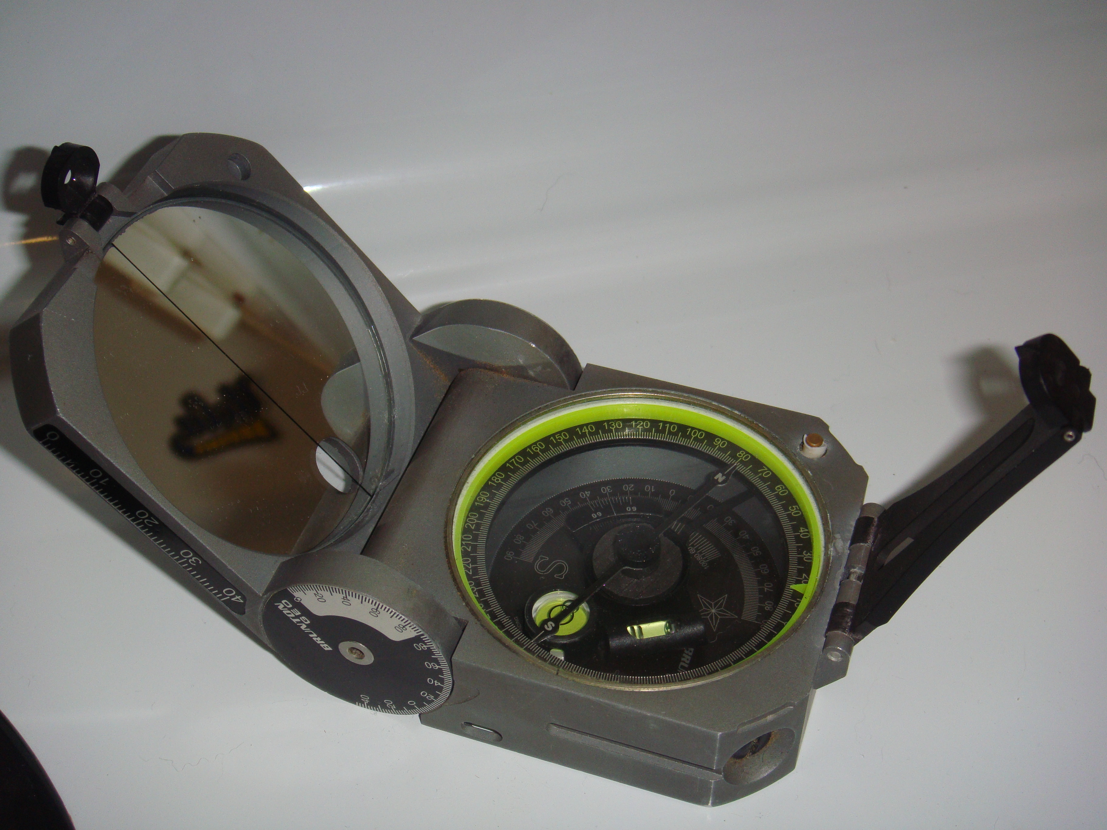
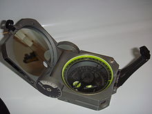 A standard Brunton Geo compass, used commonly by geologists and surveyors to obtain a bearing in the field.
In marine navigation, a bearing is the direction one object is from another object, usually, the direction of an object from one's own vessel. In aircraft navigation, a bearing is the actual (corrected) compass direction of the forward course of the aircraft. In land navigation, a bearing is the angle between a line connecting two points and a north-south line, or meridian.[1] Bearings can be measured in two systems, Mils and Degrees.
Contents
Historical definitions
US Army Definition Of Bearing
The US Army defines the bearing from Point A to Point B as the angle between: either a north, south, east, or west ray, whose origin is Point A and Ray AB, the ray whose origin is Point A and which contains Point B. The bearing consists of 2 characters and 1 number: first, the character representing the reference ray (N, or S); followed by the angle value; and finally the character representing the direction of the angle from the reference ray (E, or W). The angle value will always be less than 90 degrees.[2][3] For example, if Point B is located exactly southeast of Point A, the bearing from Point A to Point B is S 45° E.[3]
The US Army defines the azimuth between Point A and Point B as the angle, measured in the clockwise direction, between the north reference ray and Ray AB. For example, if the bearing between Point A and Point B is E 45° S, the azimuth between Point A and Point B is 135°.[2][3]
The angle value in a bearing can be specified in the units of degrees, mils, or grad. An azimuth is specified in the same angle units.[4]
Use of bearings
Determining a position
A bearing is basically the position of A with respect to B and which is their angle with respect to north so the angle with B plus the angle with north is bearing.
Piloting
A bearing can be taken on another vessel to aid piloting. If the two vessels are traveling toward each other and the relative bearing remains the same over time, there is likelihood of collision and action needs to be taken by one or both vessels to prevent this.
Warfare
A bearing can be taken to a fixed or moving object in order to target it with gunfire or missiles. This is mainly used by ground troops when using an air-strike on the target.
Search and rescue
A bearing can be taken to a person or vessel in distress in order to go to their aid or, when that is not possible, to report the person or vessel to authorities or someone who can go to their aid.
Types of bearings
Types of bearings include:
- true bearings
- magnetic bearings
- grid bearings
- compass bearings
- relative bearings.
A true bearing is measured in relation to the fixed horizontal reference plane of true north, that is, using the direction toward the geographic north pole as a reference point.
A magnetic bearing is measured in relation to magnetic north, that is, using the direction toward the magnetic north pole (in northeastern Canada) as a reference.
A grid bearing is measured in relation to the fixed horizontal reference plane of grid north, that is, using the direction northwards along the grid lines of the map projection as a reference point.
A compass bearing, as in vehicle or marine navigation, is measured in relation to the magnetic compass of the navigator's vehicle or vessel (if aboard ship). It should be very close to the magnetic bearing. The difference between a magnetic bearing and a compass bearing is the deviation caused to the compass by ferrous metals and local magnetic fields generated by any variety of vehicle or shipboard sources (steel vehicle bodies/frames or vessel hulls, ignition systems, etc.)
A relative bearing is one in which the reference direction is straight ahead, where the bearing is measured relative to the direction the navigator is facing (on land) or in relation to the vessel's bow (aboard ship).
Bearing measurement
There are several methods used to measure navigation bearings:
1. In land navigation, a bearing is ordinarily calculated in a clockwise direction starting from a reference direction of 0° and increasing to 359.9 degrees.[5] Measured in this way, a bearing is referred to as an azimuth by the US Army but not by armies in other English speaking nations, which use the term bearing.[6] If the reference direction is north (either true north, magnetic north, or grid north), the bearing is termed an absolute bearing. In a contemporary land navigation context, true, magnetic, and grid bearings are always measured in this way, with true north, magnetic north, or grid north being 0° in a 360-degree system.[5]
2. In aircraft navigation, an angle is normally measured from the aircraft's track or heading, in a clockwise direction. If the aircraft encounters a target that is not ahead of the aircraft and not on an identical track, then the angular bearing to that target is called a relative bearing. (needs clarification: track and heading are not usually the same number due to wind)
3. In marine navigation, starboard bearings are 'green' and port bearings are 'red'. Thus, in ship navigation, a target directly off the starboard side would be 'Green090' or 'G090'.[7] This method is only used for a relative bearing. A navigator on watch does not always have a corrected compass available with which to give an accurate bearing. If available, the bearing might not be numerate. Therefore, every forty-five degrees of direction from north on the compass was divided into four 'points'. Thus, 32 points of 11.25° each makes a circle of 360°. An object at 022.5° relative would be 'two points off the starboard bow', an object at 101.25° relative would be 'one point abaft the starboard beam' and an object at 213.75° relative would be 'three points on the port quarter'. This method is only used for a relative bearing.4. An informal method of measuring a relative bearing is by using the 'clock method'. In this method, the direction a vessel, aircraft or object is measured as if a clock face is laid over the vessel or aircraft, with the number twelve pointing forward. Something straight ahead is at 'twelve o'clock', while something directly off to the right is at 'three o'clock'. This method is only used for a relative bearing.
5. In land surveying, a bearing is the clockwise or counterclockwise angle between north or south and a direction. For example, bearings are recorded as N57°E, S51°E, S21°W, N87°W, or N15°W. In surveying, bearings can be referenced to true north, magnetic north, grid north (the Y axis of a map projection), or a previous map, which is often a historical magnetic north.
Usage
If navigating by gyrocompass, the reference direction is true north, in which case the terms true bearing and geodetic bearing are used. In stellar navigation, the reference direction is that of the North Star, Polaris.
Generalizing this to two angular dimensions, a bearing is the combination of antenna azimuth and elevation required to point (aim) an antenna in a given direction. The bearing for geostationary satellites is constant. The bearing for polar-orbiting satellites varies continuously.
Moving from A to B along a great circle can be considered as always going in the same direction (the direction of B), but not in the sense of keeping the same bearing, which applies when following a rhumb line. Accordingly, the direction at A of B, expressed as a bearing, is not in general the opposite of the direction at B of A (when traveling on the great circle formed by A and B). For example, assume A and B in the northern hemisphere have the same latitude, and at A the direction to B is eastnortheast. Then going from A to B, one arrives at B with the direction eastsoutheast, and conversely, the direction at B of A is westnorthwest.
Notes
- ^ Rutstrum, Carl, The Wilderness Route Finder, University of Minnesota Press (2000), ISBN 0816636613, p. 194
- ^ a b U.S. Army, (17 September 1941), pp. 24-25
- ^ a b c U.S. Army, Map Reading and Land Navigation, FM 21-26, Headquarters, Dept. of the Army, Washington, D.C. (28 March 1956), ch. 3, pp. 69-70
- ^ U.S. Army, Advanced Map and Aerial Photograph Reading, Headquarters, War Department, Washington, D.C. (17 September 1941), pp. 24-25
- ^ a b Keay, pp. 133-134
- ^ U.S. Army, Map Reading and Land Navigation, FM 21-26, Headquarters, Dept. of the Army, Washington, D.C. (7 May 1993), ch. 6, p. 2
- ^ This method is used by the Royal Navy and the Royal Australian Navy in accordance with the Admiralty Manual of Navigation, BR45.
See also
- Cardinal direction
- Course or Track
- Hand bearing compass
- Yaw, pitch and roll
References
- Keay, Wally, Land Navigation: Routefinding with Map & Compass, Coventry, UK: Clifford Press Ltd. (1995), ISBN 0319008452, 978-0319008454
- Rutstrum, Carl, The Wilderness Route Finder, University of Minnesota Press (2000), ISBN 0816636613
- U.S. Army, Advanced Map and Aerial Photograph Reading, Headquarters, War Department, Washington, D.C. (17 September 1941)
- U.S. Army, Map Reading and Land Navigation, FM 21-26, Headquarters, Dept. of the Army, Washington, D.C. (28 March 1956)
- U.S. Army, Map Reading and Land Navigation, FM 21-26, Headquarters, Dept. of the Army, Washington, D.C. (7 May 1993)
External links
Categories:
Wikimedia Foundation. 2010.