Chesapeake Country Scenic Byway
- Chesapeake Country Scenic Byway
-
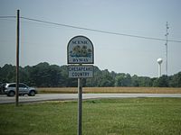
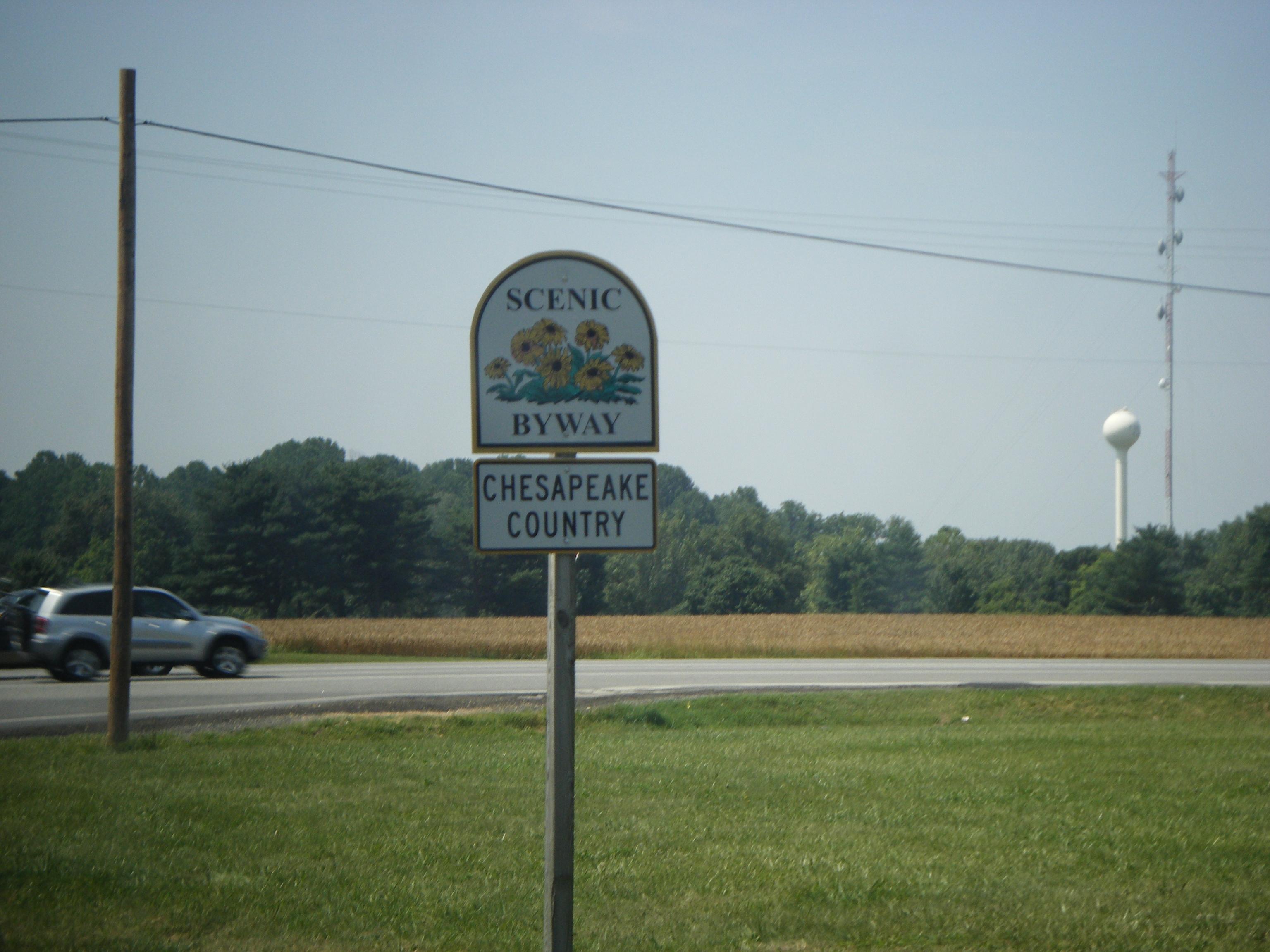
State-designated signage for Chesapeake Country Scenic Byway on
MD 213 near
Wye Mills.
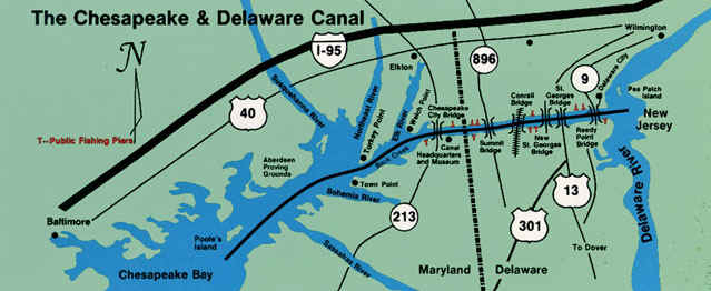
The Chesapeake Country Scenic Byway is a national scenic byway on Maryland's Eastern Shore region. The byway runs from Stevensville, near the Chesapeake Bay Bridge to the Chesapeake and Delaware Canal in Chesapeake City and has a spur to Eastern Neck Island in the Chester River. The main route runs mostly along Maryland Routes 18 and 213, former main roads that have since been bypassed by US 50 and US 301. The spur runs along Maryland Routes 20 and 445. A state-designated extension of the national byway continues across the Bay Bridge, into Annapolis, then back onto the Eastern Shore into St. Michaels. Both the national and state-designated sections of the byway run past many towns and buildings that remain preserved from the 18th and 19th centuries.
External links
Categories:
- Roads in Cecil County, Maryland
- Roads in Kent County, Maryland
- Roads in Queen Anne's County, Maryland
- National Scenic Byways
- History of Maryland
- Southern United States road stubs
- Maryland stubs
Wikimedia Foundation.
2010.
Look at other dictionaries:
National Scenic Byway — Marker used for National Scenic Byways … Wikipedia
National Scenic Byway — Un letrero indicando que es un lugar reconocido por el Departamento de Transporte de Estados Unidos a Creole Nature Trail. Un National Scenic Byway (O un lugar escénico Nacional en español), es una calle reconocida por el Departamento de… … Wikipedia Español
Maryland Route 213 — College Drive, Centreville Road, Church Hill Road, Augustine Herman Highway, Singerly Road, Lewisville Road … Wikipedia
Kent Island, Maryland — Kent Island is the largest island in the Chesapeake Bay, and a historic place in Maryland. To the east, a narrow channel known as the Kent Narrows barely separates the island from the Delmarva Peninsula, and on the other side, the island is… … Wikipedia
Williamsburg, Virginia — City … Wikipedia
Santa Fe Trail — For other uses, see Santa Fe Trail (disambiguation). Not to be confused with Santa Fe Rail Trail or Santa Fe River Trail. Trail logo created for the National Park Service The Santa Fe Trail was a 19th century transportation route through… … Wikipedia
Ansted, West Virginia — Infobox Settlement official name = Ansted, West Virginia settlement type = Town nickname = motto = imagesize = image caption = image mapsize = 250px map caption = Location of Ansted, West Virginia mapsize1 = map caption1 = subdivision type =… … Wikipedia
Colonial Williamsburg — Williamsburg Historic District U.S. National Register of Historic Places U.S. National Historic Landmark District … Wikipedia
Shenandoah National Park — This article is about the national park in Virginia. For the road running through the park, see Skyline Drive. For other uses, see Shenandoah. Shenandoah National Park IUCN Category II (National Park) … Wikipedia
Staunton and Parkersburg Turnpike — The Staunton and Parkersburg Turnpike was built in the U.S. state of the Commonwealth of Virginia during the second quarter of the 19th century to provide a roadway from Staunton and the upper Shenandoah Valley to the Ohio River at present day… … Wikipedia