- Dededo, Guam
-
Dededo
Dedidu— Village — Location of Dededo within the Territory of Guam.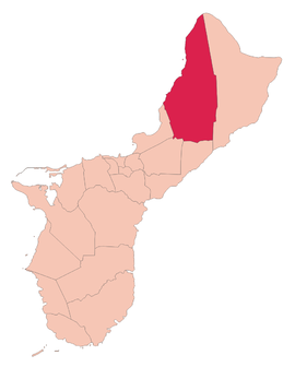
Country United States Territory Guam Government - Mayor Melissa B. Savares - Vice mayor Andrew “Peter Daigo” A. Benavente Area - Total 30 sq mi (77.7 km2) Population (2010[1]) - Total 44,943 Time zone ChST (UTC+10) Village Flower Gardenia jasminoides Website dededo.org Dededo (Chamorro: Dedidu) is the most populated village [2]of the United States territory of Guam. According to the U.S. Census Bureau, Dededo's population was just under 45,000 in 2010. The village is located on the coral plateau of Northern Guam.
Contents
Etymology
The origin of the name Dededo is not clear. It is speculated that it is derived from the Chamorro word for two inches, dededo, or it is a modification of the word dedeggo, meaning "heel of the foot," or deggo, which refers to the tiptoes.[3]
History
Before World War II, Dededo Village was located at the bottom of the Macheche Hill. Dededo grew into a major village after World War II when the U.S. Navy constructed housing for Guamanians displaced by the war and for laborers coming from off-island to help in Guam's development.[citation needed]
Following Typhoon Karen in 1962, the Kaiser subdivision in Dededo was constructed for island residents displaced by the storm. Further housing subdivisions were constructed increasing the village's population.
Geography
Dededo is located at the north central part of the island roughly at the center of population. It encompasses an area of about 30 square miles (78 km2) of Guam’s 209 square miles (540 km2).
Education
Primary and secondary schools
Public schools
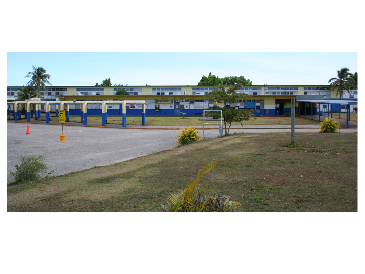
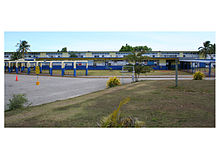 Vicente S.A. Benavente Middle School
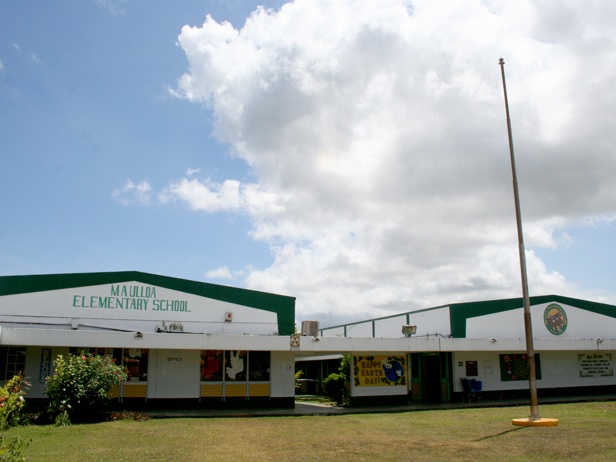
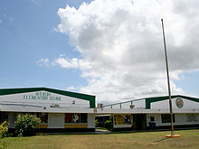 Maria A. Ulloa Elementary School
Guam Public School System serves the island.
The village has seven K-5 elementary schools:
- Adacao Elementary School (opened Sept. 2, 2009 [4])
- Astumbo Elementary School
- Finegayan Elementary School
- Juan M. Guerrero Elementary School
- Liguan Elementary School (opened on August 21, 2008[4])
- Maria A. Ulloa Elementary School
- Wettengel Elementary School
Vicente S.A. Benavente Middle School and Astumbo Middle School (opened on August 21, 2008[4]) are in Dededo.
Prior to 2008 rezoning, some Dededo students continued on to John F. Kennedy High School in Tamuning and some continued on to Simon Sanchez High School in Yigo.[5] On August 21, 2008 Okkodo High School opened.[4]
Private schools
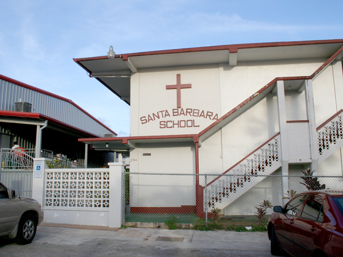
Santa Barbara Catholic School is in Dededo.
Public libraries
Guam Public Library System operates the Dededo Library at 283 West Santa Barbara Avenue.[6]
Sister cities
Gallery
-
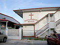
Santa Barbara School
See also
References
- Rogers, Robert F (1995). Destiny's Landfall: A History of Guam: University of Hawai'i Press. ISBN 0-8248-1678-1
Notes
- ^ 2010 Guam Statistical YearbookPDF (4.3 MB), (rev. 2011)
- ^ Therese Hart, "Guam Population slightly up, latest census says," Marianas Variety, August 26, 2011, http://mvguam.com/index.php?option=com_content&view=article&id=19623:guam-population-slightly-up-latest-census-says&catid=59:frontpagenews
- ^ http://www.guampedia.com/category/319-villages/entry/500-dededo-dedidu- Guampedia: Dededo (Dedidu)
- ^ a b c d http://www.guamnewsfactor.com/200909011022/Top-Stories/Adacao-Elementary-Public-Presentation-Tomorrow.html
- ^ http://web.archive.org/web/20060222192437/http://www.lk4kids.com/school+links.htm
- ^ http://gpls.guam.gov/Portals/50/GPLS_LOC/GPLS_Location_2007Apr12.xml
External links
- Official Site of Dededo
- Guampedia, Guam's Online Encyclopedia Dededo Village
- Dededo Guam at Guam Portal
 Territory of Guam
Topics Islands Villages Coordinates: 13°30′55″N 144°50′10″E / 13.51528°N 144.83611°E
Categories:- Villages in Guam

Wikimedia Foundation. 2010.