- Yona, Guam
Infobox Settlement
settlement_type = Village
subdivision_type = Country
subdivision_name =United States
subdivision_type1 = Territory
subdivision_name1 =Guam
subdivision_type2 =
subdivision_name2 =
timezone=ChST
utc_offset=+10
unit_pref=Imperial
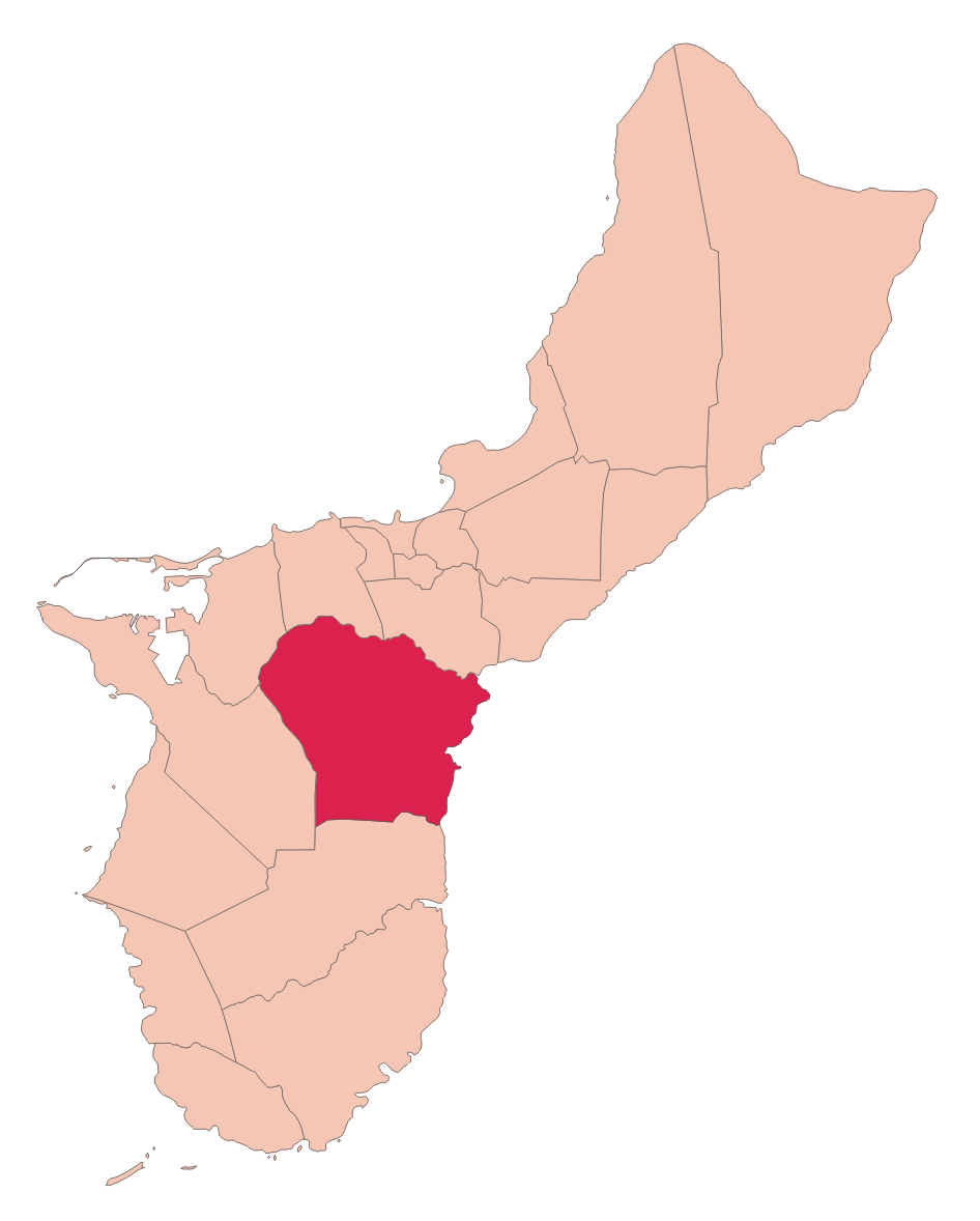
map_caption =Location of Yona within the Territory of Guam.
latd= |latm= |lats= |latNS=
longd= |longm= |longs= |longEW=
elevation_ft =
official_name = Yona
area_total_sq_mi = 20| population_total = 6484|population_footnotes=
population_as_of = 2000 [http://www.census.gov/Press-Release/www/2001/cb01cn174.html]
population_blank1 =
leader_title=Mayor
leader_name = Jose T. Terlaje| Mayor_since =
leader_name1 =
blank_info =Yona (pronounced IPA|/d͡zoˈnia/, not IPA|joˈna/) is a village on the east coast of
Guam .History
The village was historically a farming community and today is mostly residential. During
World War II , theJapan ese forced the indigenousChamorros to march from camps in northern Guam to prison camps in the Maneng [g] on area in the Yona municipality shortly before the Americans liberated the island. Japanese tanks in the area near the Segua river serve as reminders of the war.Today, Leo Palace Resort with one of the island's most popular golf courses is located in the Manengon Hills.
Geography
The municipality of Yona has an area of 20mi² (52km²) and is located on the eastern side of Guam between Pago River and Togcha River. The village center is located above the cliffs between
Pago Bay andYlig Bay . Residential areas of Baza Gardens and Windward Hills are located to the south.Sites of interest
*
Sigua Falls
*Tarzan Falls
* Taga'Chang Beach Park
* Windward Hills Golf Course
* Country Club of the Pacific Golf Course
* Manengon Hills Golf CourseEducation
Primary and secondary schools
Public schools
Guam Public School System serves the island.Manuel U. Lujan Elementary School in Yona and Inarajan Middle School in Inarajan serve Yona. [http://web.archive.org/web/20060222192437/http://www.lk4kids.com/school+links.htm]
Southern High School in Santa Rita serves the village." [http://www.gdoe.net/ci/high_sch_crse_desc/guam_PHS.pdf Guam's Public High Schools] ." "Guam Public School System". Accessed
September 8 ,2008 .]Public libraries
Guam Public Library System operates the Yona Library at 265 Sister Mary Eucharita Drive. [http://gpls.guam.gov/Portals/50/GPLS_LOC/GPLS_Location_2007Apr12.xml]See also
*
Villages of Guam Facts
* The village flower is Hibiscus
References and external links
* Rogers, Robert F (1995). Destiny's Landfall: A History of Guam: University of Hawai'i Press. ISBN 0-8248-1678-1
* [http://www.guamportal.com/villages/Yona_Guam.html Yona Guam] at Guam Portal
* [http://www.guampdn.com/communities/maps/yona.html Map of Yona from PDN]
* [http://www.guampedia.com/category/57-villages/entry/17 Guampedia Yona Village]
* [http://www.nps.gov/wapa/indepth/extContent/Lib/liberation12.htm War in the Pacific NHP: Journey to Manengon]
Wikimedia Foundation. 2010.