- Araku Valley
-
 Araku-valley
అరకు లోయ Araku Valley — mandal — Coordinates 18°20′00″N 82°52′00″E / 18.3333°N 82.8667°ECoordinates: 18°20′00″N 82°52′00″E / 18.3333°N 82.8667°E Country India State Andhra Pradesh District(s) Visakhapatnam Time zone IST (UTC+05:30) Area
• 911 metres (2,989 ft)
Araku Valley (Telugu: అరకు లోయ) is a hill station and a Mandal in Visakhapatnam district in the state of Andhra Pradesh in India.It has got an amazing nature with thick forests surrounded all over.Araku is popular for its world famous coffee plantations.For every traveller it gives a wonderful and a unique experience.[1]
Contents
Geography
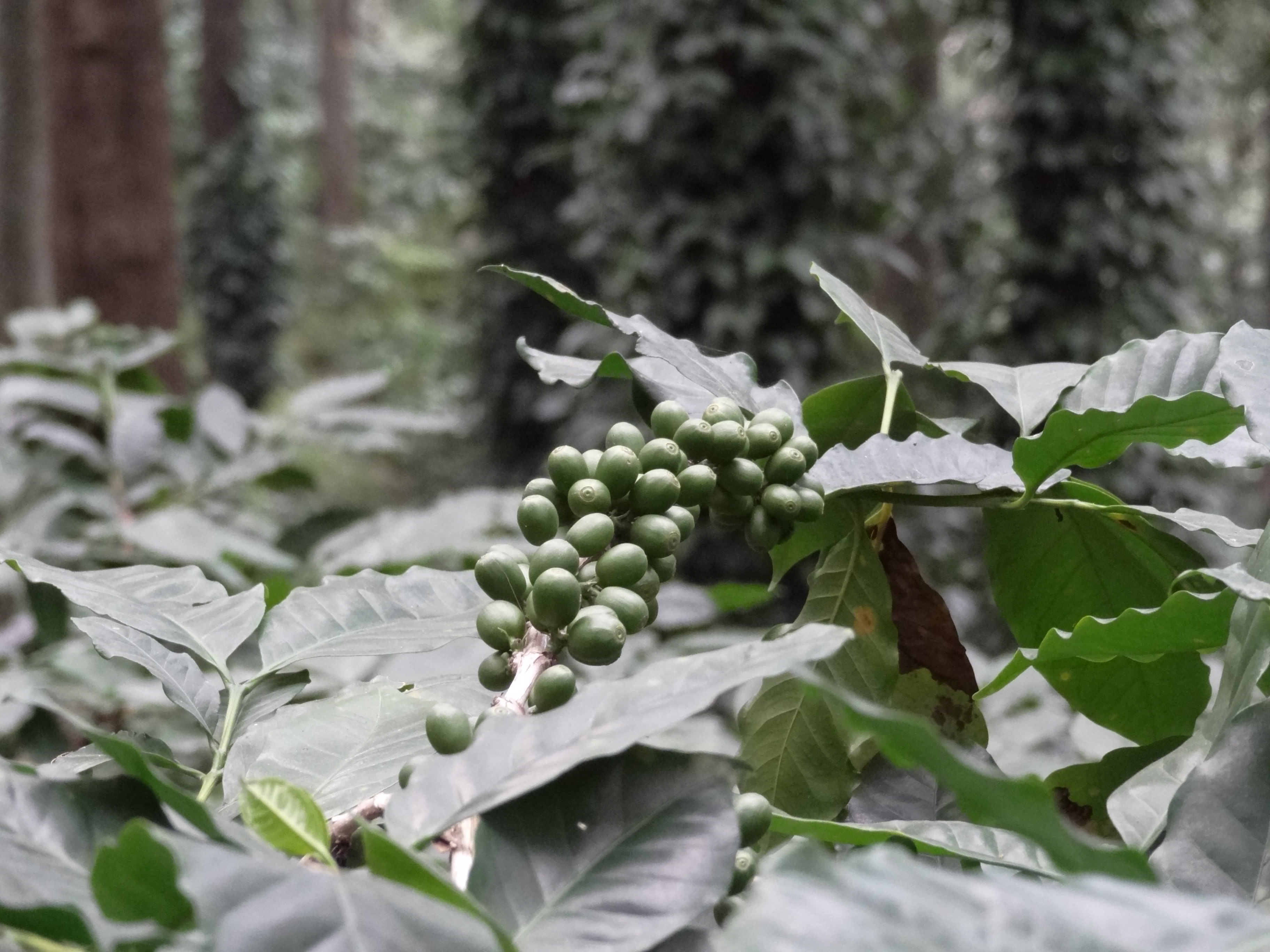
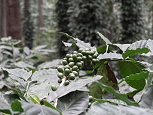 Unripe Coffee Pods in Araku
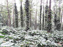 Coffee Plantation in Araku
Araku is located at 18°20′00″N 82°52′00″E / 18.3333°N 82.8667°E.[2] It has an average elevation of 911 meters (2992 feet).
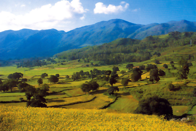
It is located 115 km from Vishakhapatnam, close to the Orissa state border. This place lures people with pleasant weather, hills and valleys. The natural beauty of this valley comes alive with its rich landscape. The area of the valley is roughly 36 km², and the altitude is between 600 and 900 meters above sea level.
The journey to this place on the Ghat road with thick forests on either side is in itself interesting and pleasant. One can have a wonderful trekking trip. Traveling on train gives you a memorable experience. A total of forty-one tunnels and numerous bridges will greet you on the way. The Ananthagiri hills on the way to Araku Valley are famous for coffee plantations. The Borra caves, located 29 km from Araku Valley, are a nearby tourist attraction full of stalactites and stalagmites.
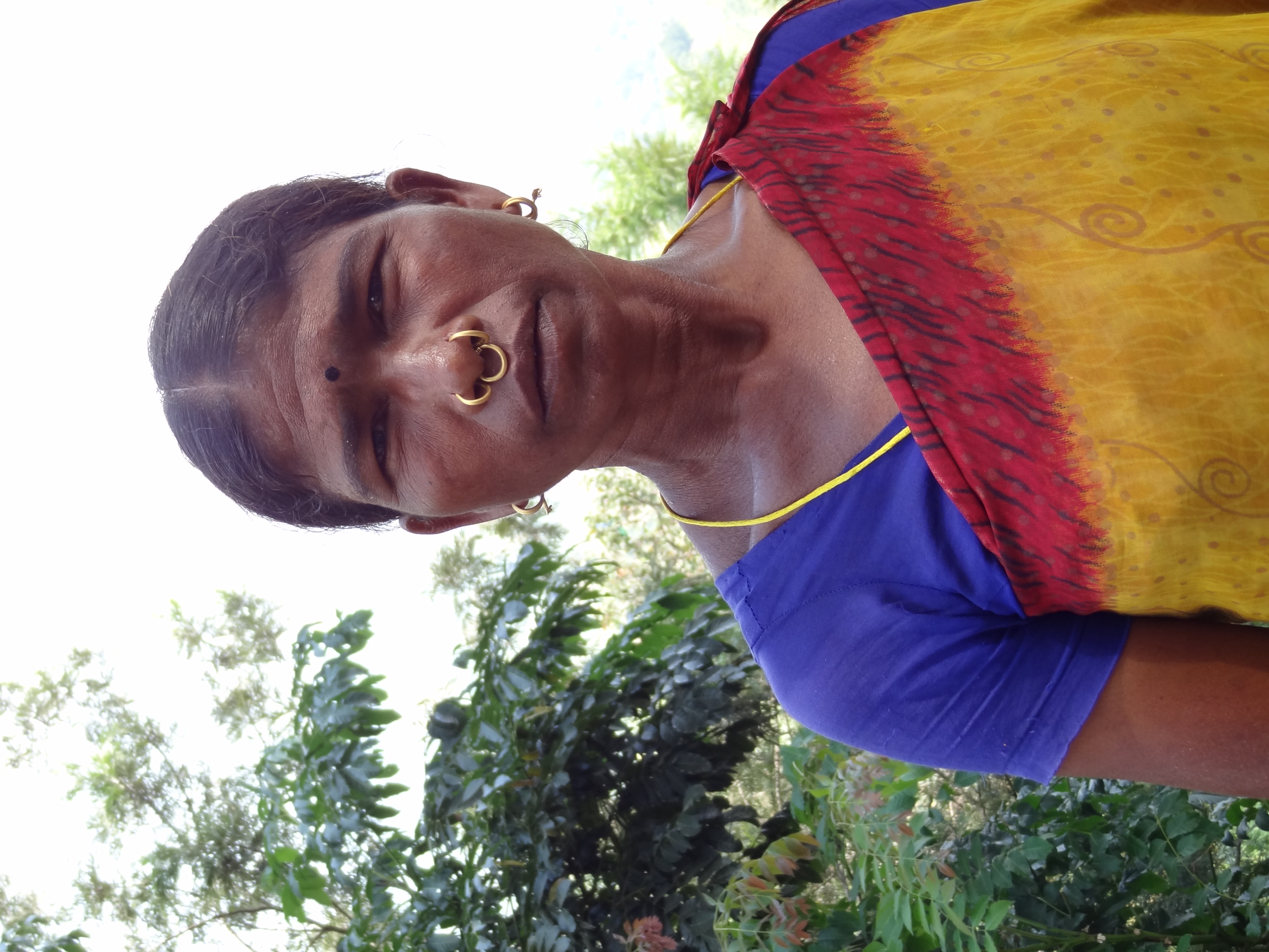
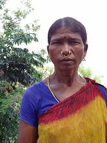 Tribal Woman in Araku
Located on the Eastern Ghats of India, the valley is inhabited by tribal people. One of the other attractions of this valley is a Tribal Museum which showcases tribal handicrafts and lifestyle.
Transportation
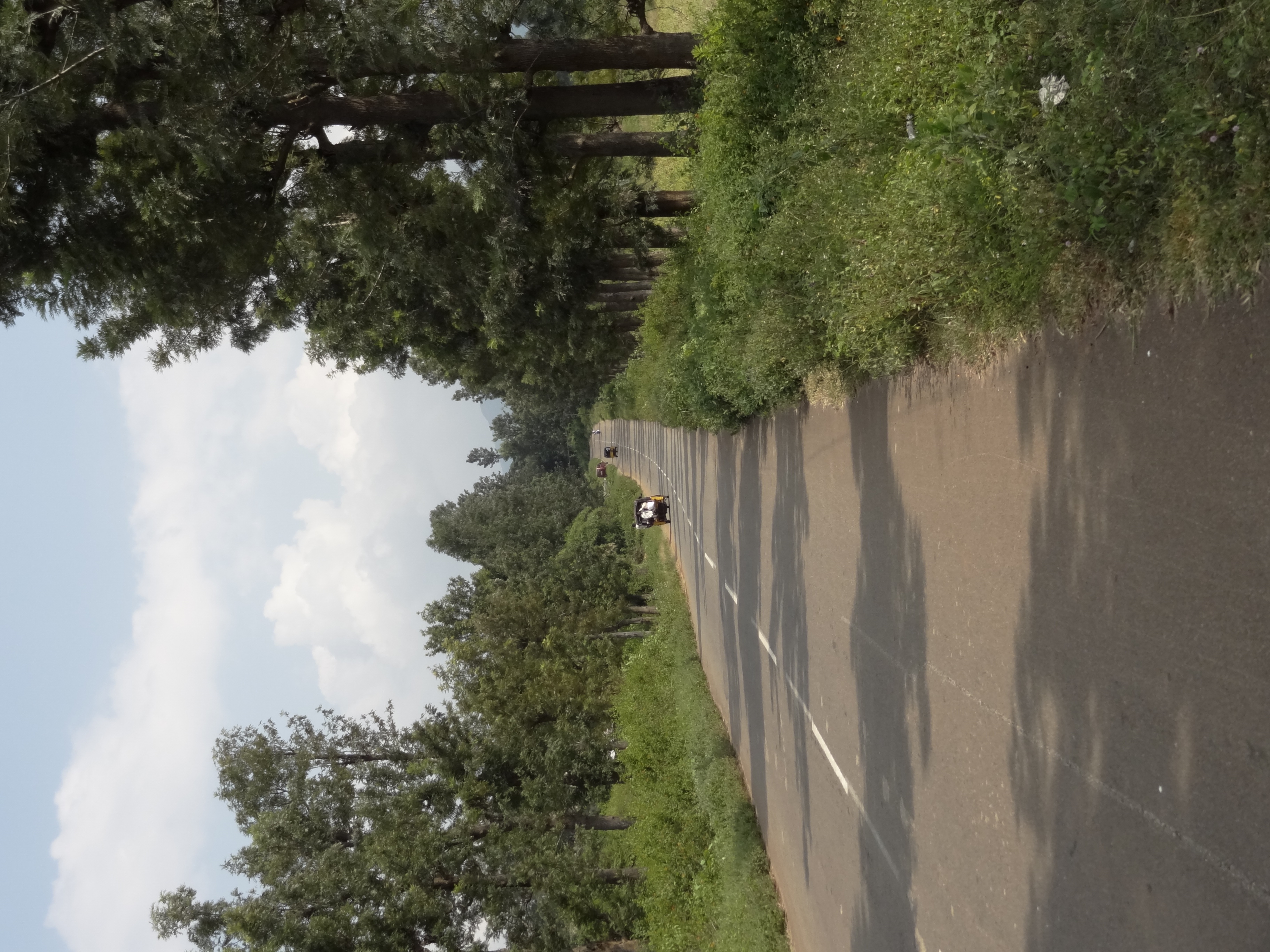
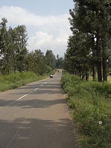 Road through Araku Valley
The valley is connected through both rail and road to the city of Vishakapatnam. There are two railway stations at Araku and Araku Valley on the Kothavalasa-Kirandul railway line of Visakhapatnam division of the East Coast Railway, on the Indian Railways network.
Panchayats
There are 14 panchayats in Araku Valley mandal.[3]
- Baski (village and panchayat)
- Bondam (village and panchayat)
- Chinna Labudu (village and panchayat)
- Chompi (village and panchayat)
- Gannela (village and panchayat)
- Iragai (village and panchayat)
- Kotha Bhalluguda (village and panchayat)
- Lotheru (village and panchayat)
- Madagada (village and panchayat)
- Madala (village and panchayat)
- Padmapuram (village and panchayat)
- Pedda Labudu (village and panchayat)
- Siragam (village and panchayat)
- Sunkarametta (village and panchayat)
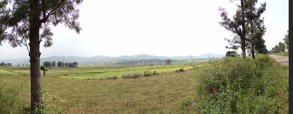 A panoramic photo of Araku Valley
References
- ^ "List of Sub-Districts". Census of India. http://www.censusindia.gov.in/. Retrieved 2007-03-09.
- ^ Falling Rain Genomics.Araku
- ^ Details of Andhra Pradesh till Village Panchayat Tier
External links
- Pictures of Tribal museum, Horticulture nursery, Tribal dancing & Borra caves in Araku Valley
Categories:- Valleys of India
- Hill stations in India
- Tourism in Andhra Pradesh
- Mandals in Visakhapatnam district
- Railway stations in Visakhapatnam district
- Visitor attractions in Visakhapatnam
- Coastal Andhra geography stubs


Wikimedia Foundation. 2010.