- Port Hacking
-
This article is about the estuary of Port Hacking. For the suburb that takes its name from that estuary, see Port Hacking, New South Wales.
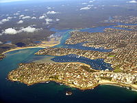 Port Hacking estuary, opening to the Tasman Sea at lower left
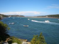 Port Hacking estuary near Burraneer
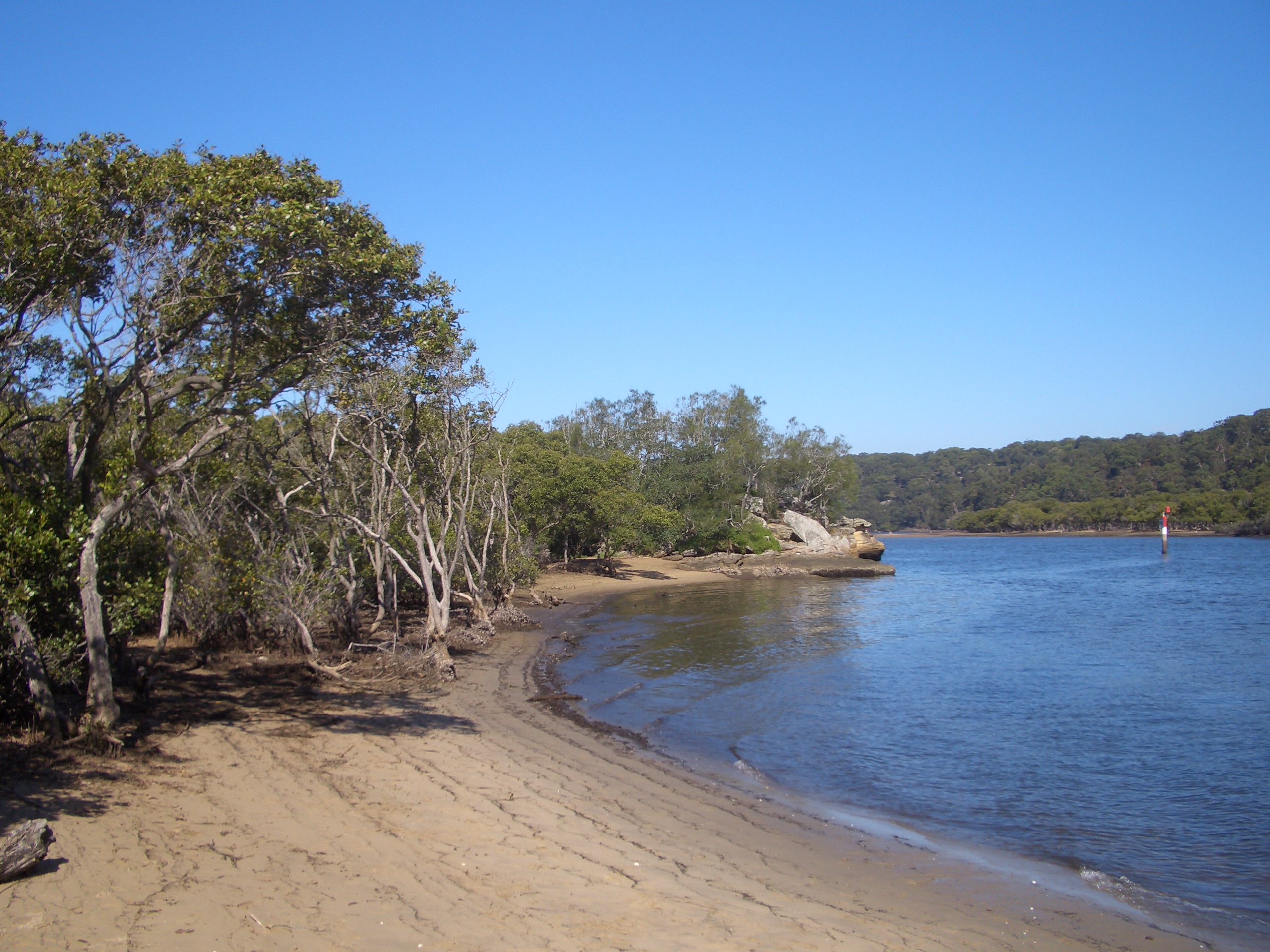
 Port Hacking estuary at Lilli Pilli
 Port Hacking estuary at Lilli Pilli
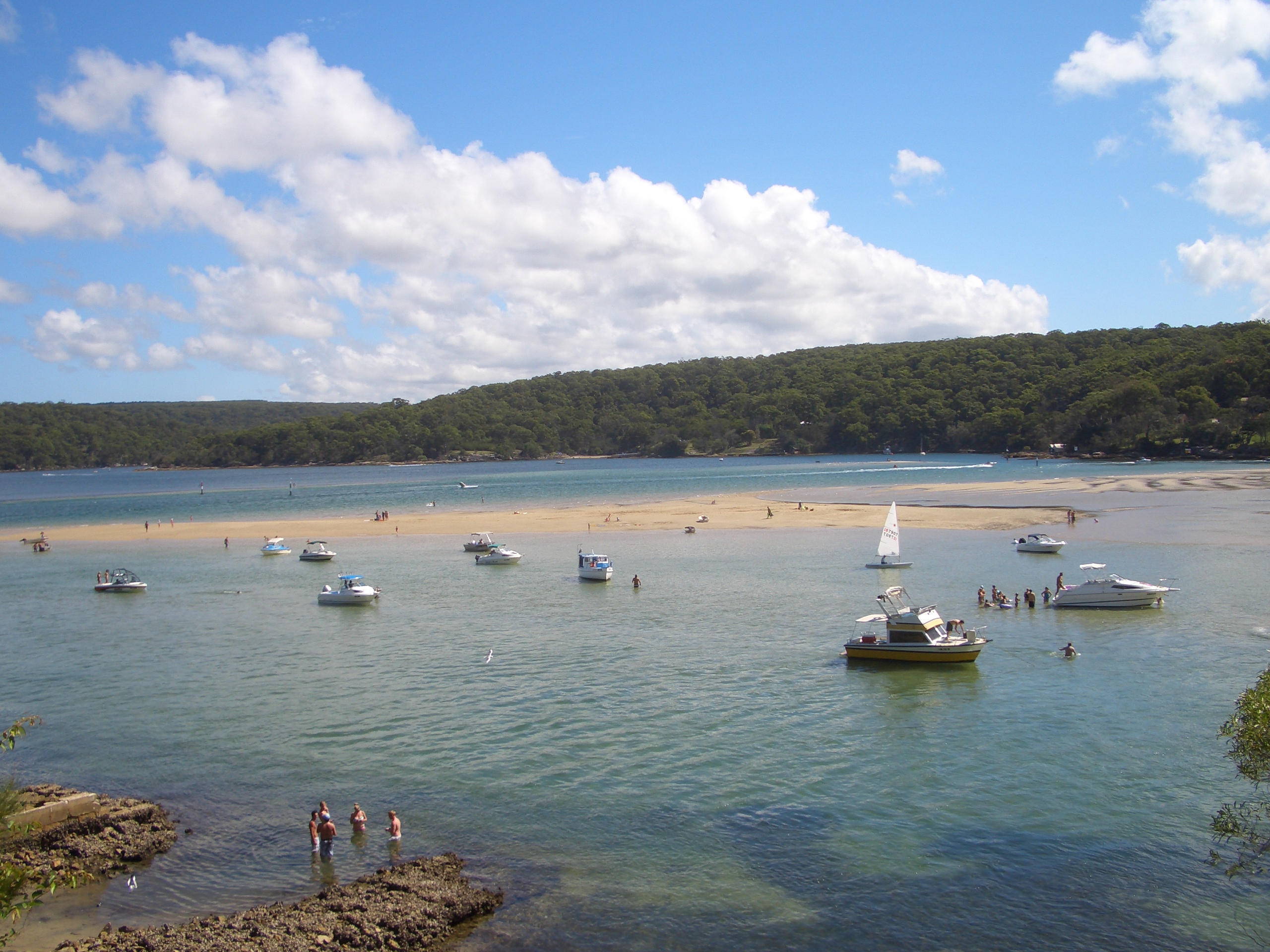
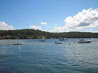 Port Hacking estuary near Warumbul
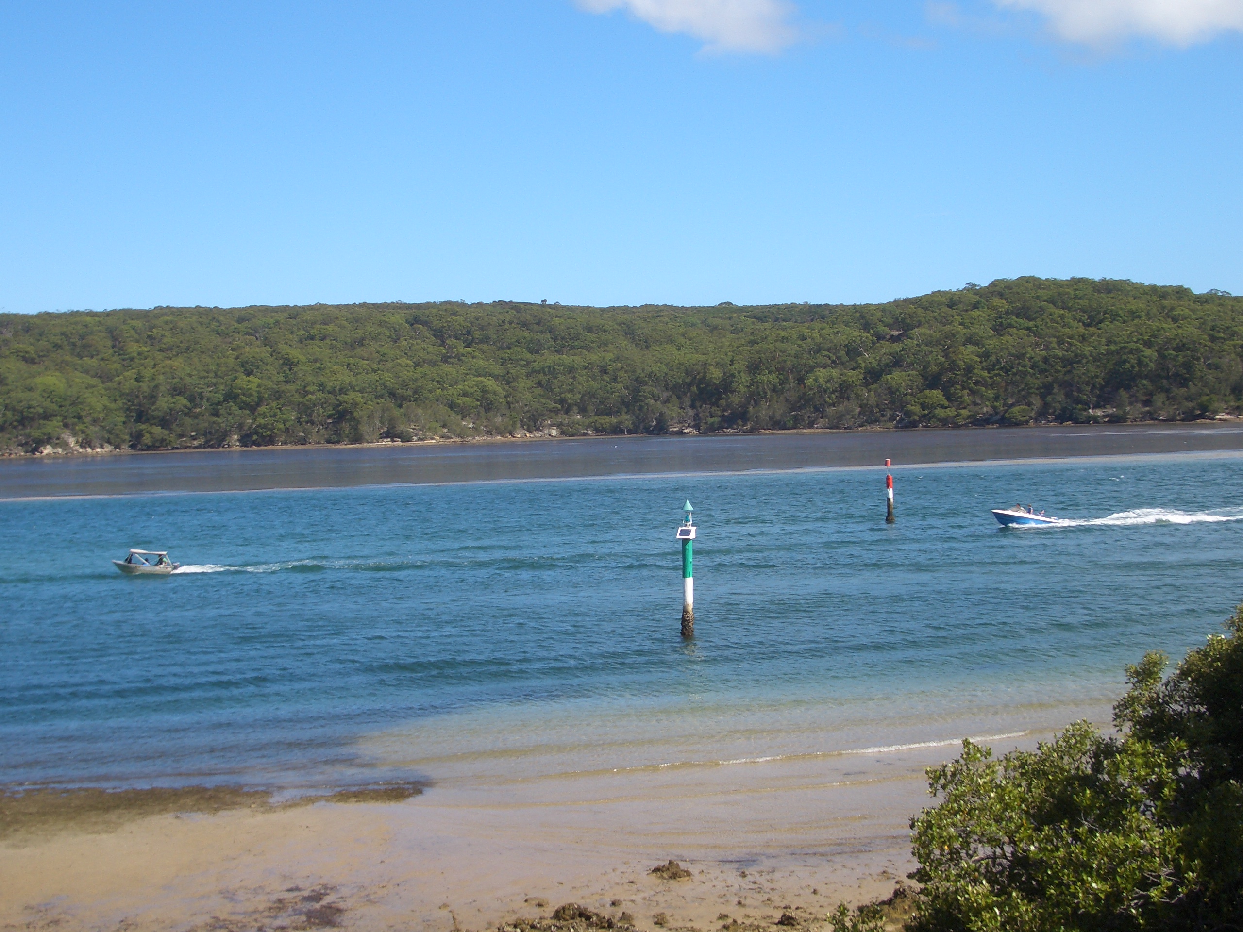
 Port Hacking estuary at Grays Point
Port Hacking is an Australian estuary, located in Southern Sydney, New South Wales[1] and fed by the Hacking River and several smaller creeks, including Bundeena Creek and The Basin. It is a ria, a river basin which has become submerged by the sea. The local aboriginal people call the estuary Deeban.
History
Matthew Flinders and George Bass (with Bass's servant William Martin) explored there in early April 1796. They called it Port Hacking after Henry Hacking who was the principal game hunter in the colony and who first told them of a large river he had seen inland on kangaroo hunting expeditions.[2][3]
Henry Hacking (1750–1831), was the quartermaster on Governor Phillip’s HMS Sirius, part of the First Fleet. Hacking became a skilled, adventurous bushman, who led many hunting expeditions to supplement meat rations for Australia’s first settlers. He was amongst the party that found the lost government cattle at Cowpastures in 1795.
The northern headland, located at Cronulla is called Bass and Flinders Point.
Description
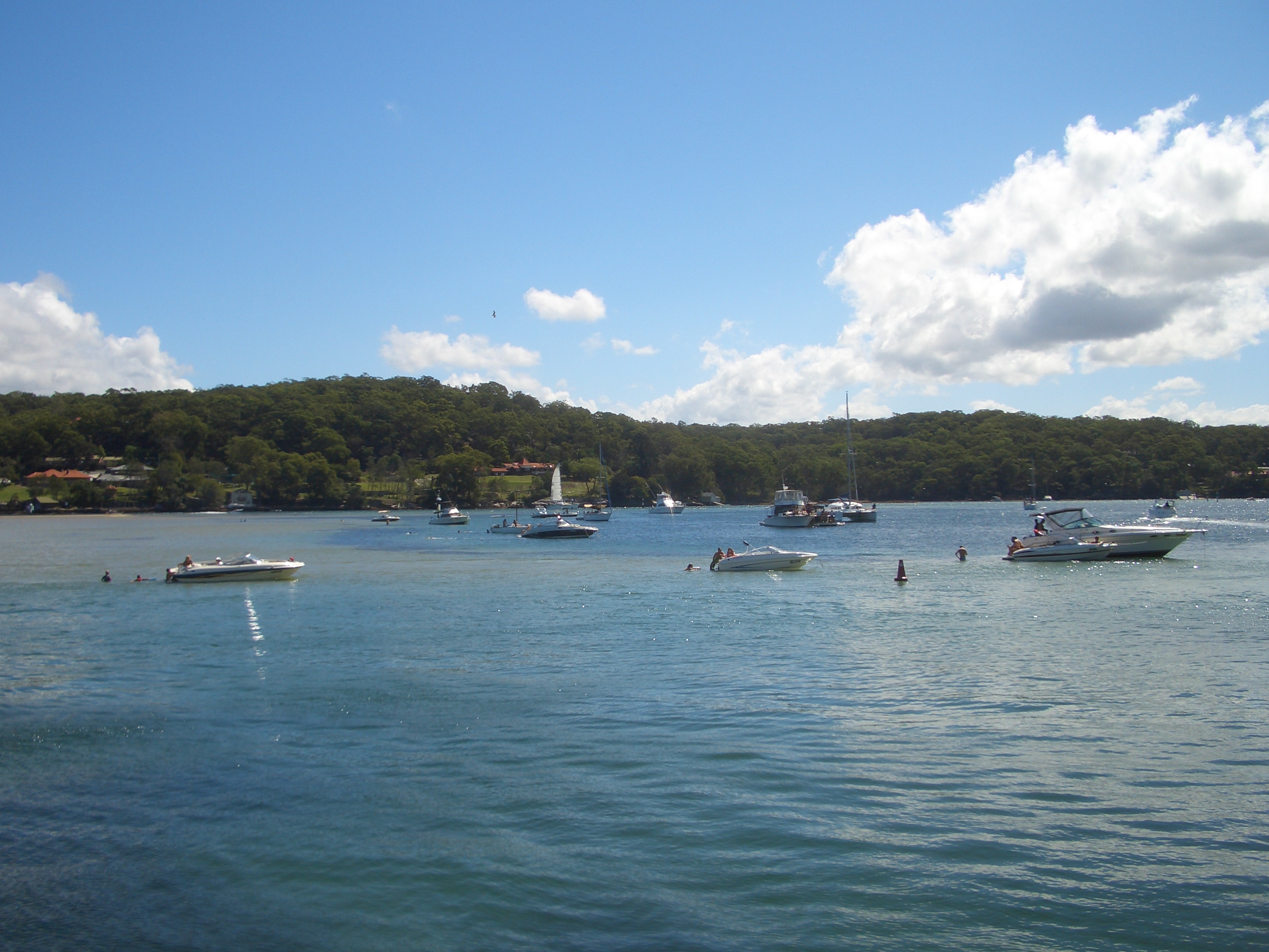
Port Hacking effectively forms the southern boundary of Sydney's suburban sprawl. Working inland from the sea, the indented north bank of Port Hacking is formed by the suburbs of Cronulla, Woolooware, Burraneer, Caringbah, Dolans Bay, Port Hacking, Lilli Pilli, Yowie Bay, Miranda, Gymea Bay and Grays Point. The southern bank is largely undeveloped land within the Royal National Park, although the small communities of Bundeena and Maianbar are found there. Warumbul and Gundamaian are other localities on the southern bank, in the Royal National Park. Cronulla and National Park Ferry Cruises operates a regular passenger ferry service that crosses Port Hacking, connecting Cronulla and its railway station to Bundeena. They also operate cruises along Port Hacking that depart from Cronulla.
Port Hacking is a drowned river valley, with a water surface area of 11 km2. With very little industrial and no agricultural inputs, the water quality is categorised as 'extremely good', and the extensive inter-tidal shoals provide opportunity for wading birds.[4]
Port Hacking is a popular recreational area, where many activities can be enjoyed such as swimming, fishing and boating. The estuary and bays are used for watersports such as wakeboarding and water skiing and Scuba driving.
References
- ^ "Port Hacking". Geoscience Australia. http://www.ga.gov.au/bin/gazd01?rec=78217. Retrieved 7 July 2006.
- ^
- ^ Miriam Estensen, The Life of George Bass, Allen and Unwin, 2005, ISBN 1-74114-130-3.
- ^ "Estuaries of New South Wales - Port Hacking". New South Wales Department of Infrastructure, Planning and Natural Resources. http://www.dlwc.nsw.gov.au/care/water/estuaries/inventory/hacking.html. Retrieved 6 September 2005.
Coordinates: 34°04′15″S 151°07′50″E / 34.07083°S 151.13056°E
Categories:- Ports and harbours of New South Wales
- Bays of New South Wales


Wikimedia Foundation. 2010.