- Mafraq Governorate
-
Mafraq Governorate (محافظة المفرق) Governorate  Mafraq Governorate
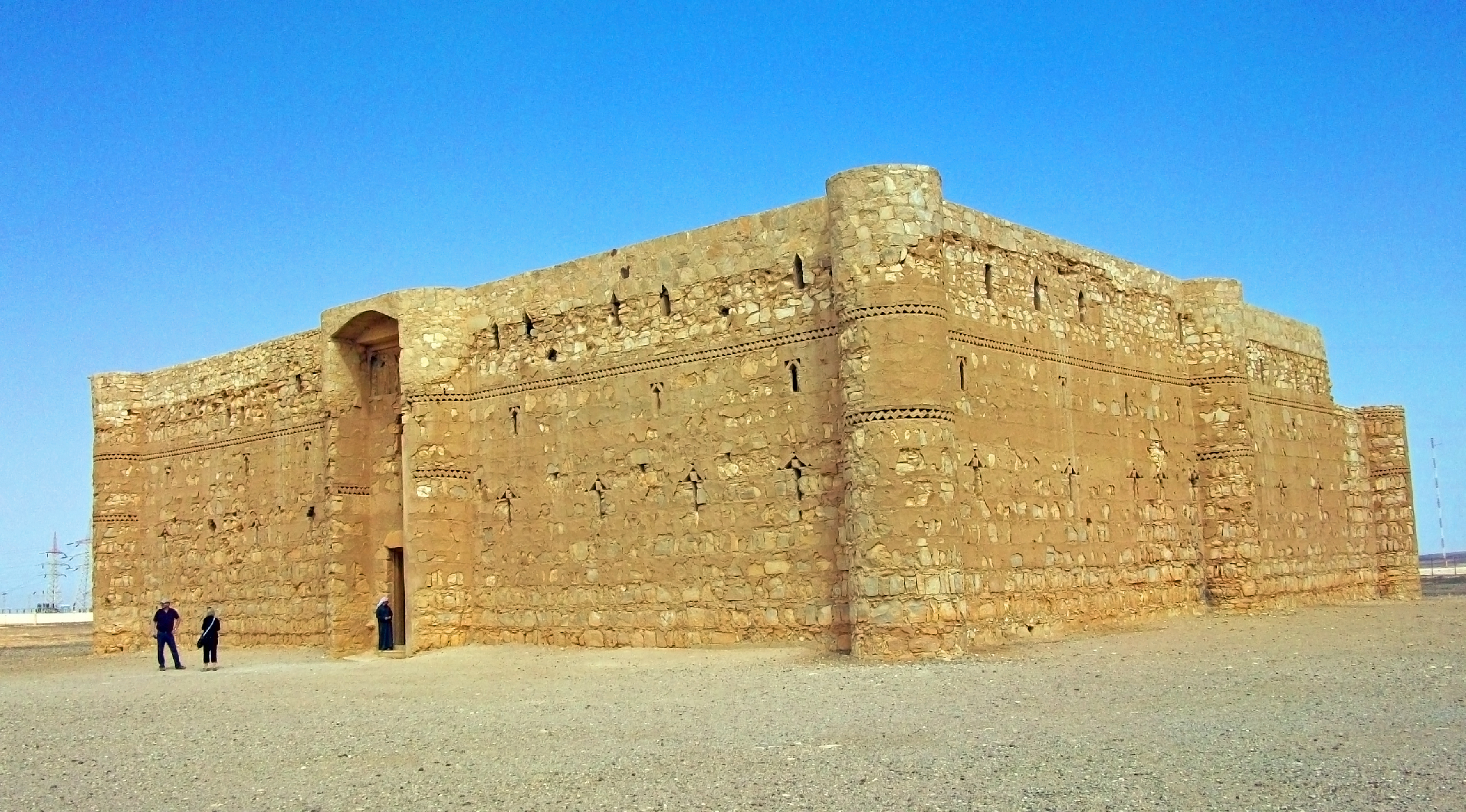
Country Jordan Subdivisions 4Capital Mafraq - coordinates 32°16′0″N 36°9′20″E / 32.266667°N 36.15556°E Area 26,550.6 km2 (10,251 sq mi) Population 287,300 (2010) Density 10.8 / km2 (28 / sq mi) Governor Saleem Rawahneh Timezone GMT +2 - summer (DST) +3 Area code +(962)2 Urban 39.2% Rural 60.8%  The Umayyad palace at Kharana east of Mafraq
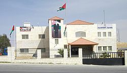 The city hall of the town of Khalediyya
 Nahias of Mafraq
Mafraq (Arabic محافظة المفرق Al-Mafraq, local dialects Mafrag or Mafra' ) is one of the governorates of Jordan, located to the north-east of Amman, capital of Jordan. It has a population of 254,219 (2000) with a percentage of 4.5% of Jordan's population. Its capital is Mafraq, which is known for its military bases.
Contents
Geography
The province is located in the eastern part of the kingdom of Jordan, It is the only governorate in Jordan that has borders with three countries: Iraq to the east, Syria to the north, and Saudi Arabia to the south. It is bordered by Irbid, Jerash, and Zarqa governorates from the west. Mafraq governorate covers the second largest area in the kingdom, but yet the second smallest population density (after Ma'an) the climate is dry most of the year. The western region of the province is part of the fertile Houran plateaus, that extend through southern Syria, the Golan heights and northern Jordan.
Administrative divisions
Mafraq Governorate is divided into four departments according to article 10 of the 46th Administrative Divisions System of the Kingdom of Jordan by the Ministry of Interior which was ratified in the year 2000:
Department Arabic Name Subdivisions Administrative Center 1 Capital Department لواء قصبة المفرق includes 72 towns and villages Mafraq city. 2 Ruwaishid Department لواء الرويشد includes 12 towns and villages Ruwaished 3 North Badiya Department لواء البادية الشمالية includes 67 towns and villages Sabha 4 North West Badiya Department لواء البادية الشمالية الغربية includes 45 towns and villages Sama al- Sarhan Economy
Agriculture forms a central element of the economy for Mafraq Governorate, especially in the Houran Plateaus in the western part of the province. The total area of fruit farms in the province in 2008 was 48.676 Km2, with a total production of 101874 tons of fruits mainly apples and peaches, according to the ministry of Agriculture.[1] The total area of vegetable farms in the province for 2008 was 8.295 Km2 with a total production of 15540 tons, with cabbage, onions, garlic, and lettuce being the main products.[2]
There is one natural gas production field at Al-Reeshah, it is run by the Jordanian National Petroleum Company. In 2008, British Petroleum purchased the rights to produce natural gas in the field, and is expected to increase its capacity from 21 cubic feet (0.59 m3) to 300 million cubic feet per day in the next five years. The natural gas produced at Al-Reeshah is used entirely for producing electricity at a nearby electricity generating station with a capacity of 120 Megawatts, covering 12% of the total needs of the kingdom for the year 2008.[3]
The city of Mafraq hosts Al al-Bayt University, which is the only university in the governorate.[4]
References
- ^ Ministry of Agriculture Total area of trees by province report of 2008
- ^ Ministry of Agriculture, Table of the total area of vegetables by province report of 2008
- ^ Asharq Alawsat newspaper September 5, 2009
- ^ Al al-Bayt University

 As-Suwayda and Daraa GovernoratesRif Dimashq GovernorateHoms Governorate
Irbid Governorate
Jerash Governorate
 Al Anbar Governorate
 Mafraq Governorate

Zarqa Governorate  Northern Borders Province
Governorates of Jordan North Region: 

Central Region: South Region: Categories:


Wikimedia Foundation. 2010.