- Nimmitabel, New South Wales
-
Nimmitabel
New South Wales
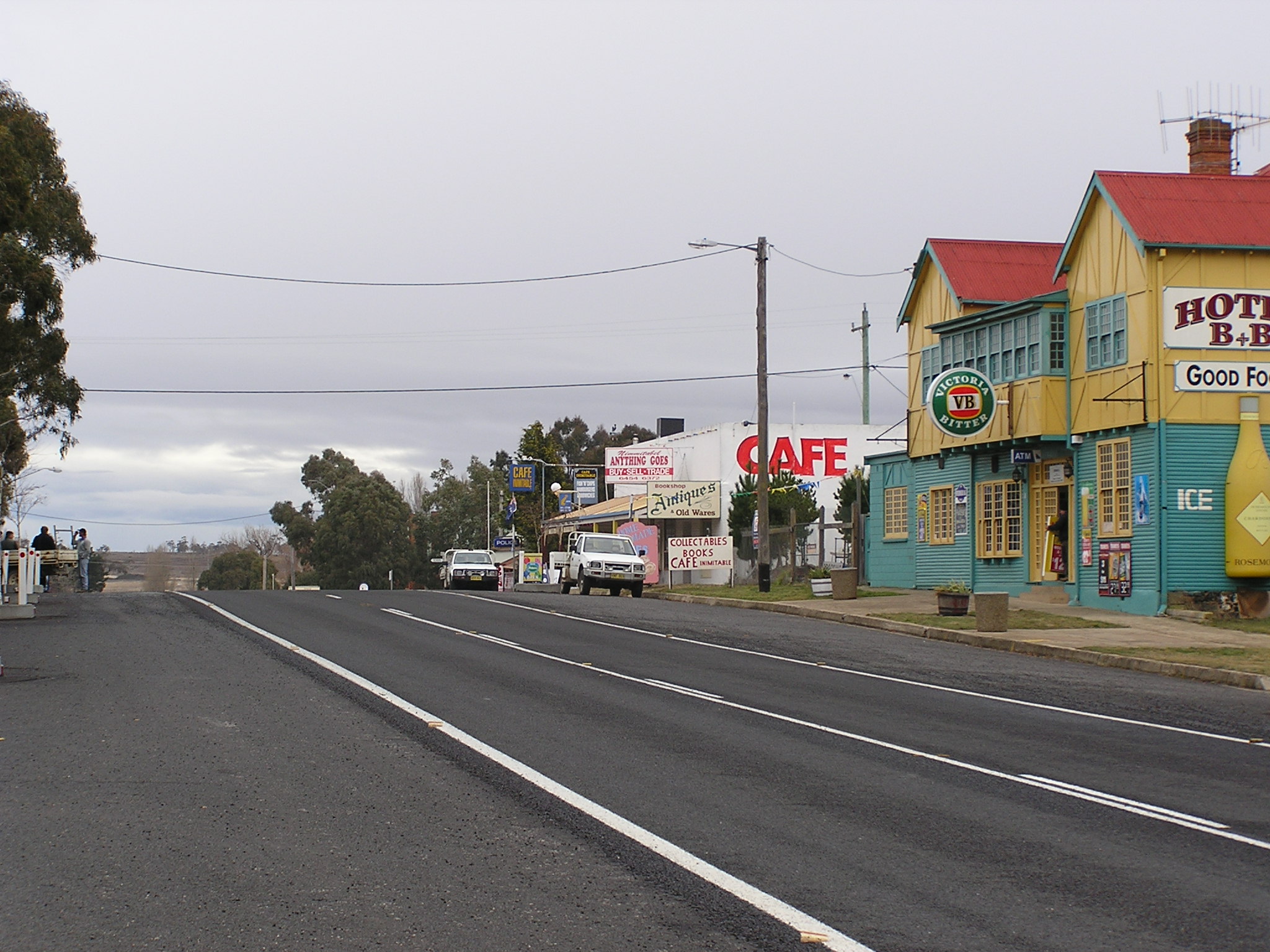
Looking south through the town along the highway
 Nimmitabel
Population: 237 (2006 Census)[1] Postcode: 2631 Coordinates: 36°30′S 149°17′E / 36.5°S 149.283°ECoordinates: 36°30′S 149°17′E / 36.5°S 149.283°E Elevation: 1,075 m (3,527 ft) Location: - 435 km (270 mi) SSW of Sydney
- 152 km (94 mi) S of Canberra
- 37 km (23 mi) SE of Cooma
- 75 km (47 mi) W of Bega, New South Wales
LGA: Cooma-Monaro Shire State District: Monaro Federal Division: Eden-Monaro Mean max temp Mean min temp Annual rainfall 15.6 °C
60 °F3.4 °C
38 °F687.6 mm
27.1 inNimmitabel (postcode: 2631) is a small town in the Monaro region in southeast New South Wales, Australia, in the Cooma-Monaro Shire Local government area. At the 2006 census, Nimmitabel had a population of 237 people.[1]
The town is 37 kilometres south of Cooma and 75 km west of Bega. Nimmitabel is located on the highway which from Cooma to about 10 km south of Nimmitabel is both the Snowy Mountains Highway (HWY 23) and the Monaro Highway (HWY 18).
It is on the southern end of the Great Dividing Range, at the west of the Monaro Range, and lies 20 km west of the Wadbilliga National Park.
Nimmitabel means the place where many waters start or divide in the local Aboriginal language.[2] Many various spellings were adopted for the town, including: Nimmitybelle, Nimithybale, Nimitybell, Nimity Belle and Nimmitabel.
Contents
History
Timeline
-
- 1840 Locals started calling the village Nimoitebool
- 1845 Appears on Townsend's map as Nimmitabel
- 1858 Church was built
- 1857 Renewal of license for hotel
- 1858 Post office arrives
- 1861 Bell's Store
- 1863 Separate Courthouse built
- 1865 Geldmacher builds windmill
- 1866 Cameron's Store opens
- 1912 Railroad arrives
- 1921 Area's first saw-mill opens
Trivia
Part of the movie, The Sundowners was filmed in Nimmitabel in 1959.The daughter of a local grazier also trained the ducks for the film "Babe".
References
- ^ a b Australian Bureau of Statistics (25 October 2007). "Nimmitabel (L) (Urban Centre/Locality)". 2006 Census QuickStats. http://www.censusdata.abs.gov.au/ABSNavigation/prenav/LocationSearch?collection=Census&period=2006&areacode=UCL160800&producttype=QuickStats&breadcrumb=PL&action=401. Retrieved 7 November 2009.
- ^ "Nimmitabel". Geographical Names Board of New South Wales. http://www.gnb.nsw.gov.au/name_search/extract?id=ujqwBKWAKW. Retrieved 7 November 2009.
External links
- Aerial photo of Nimmitabel from Terraserver
- Information about Nimmitabel, including history and photos
- Some history from Peter Goed, particular focus on the 1950s
- Article: "The Day the Stars Came to Nimmitabel..The Making of the Sundowners" by Peter Goed @ Cooma-Monaro website (includes photos from the making of the film in 1959)
Categories:- Towns in New South Wales
- New South Wales geography stubs

Wikimedia Foundation. 2010.