- Kolguyev Island
-
Kolguyev Island Native name: о́стров Колгу́ев 
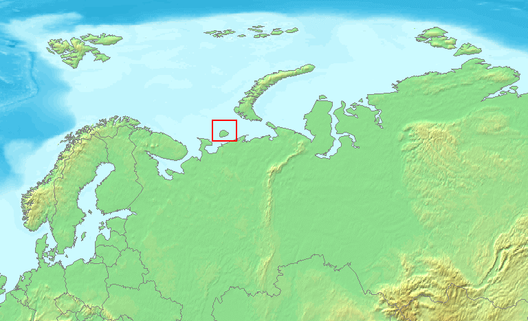
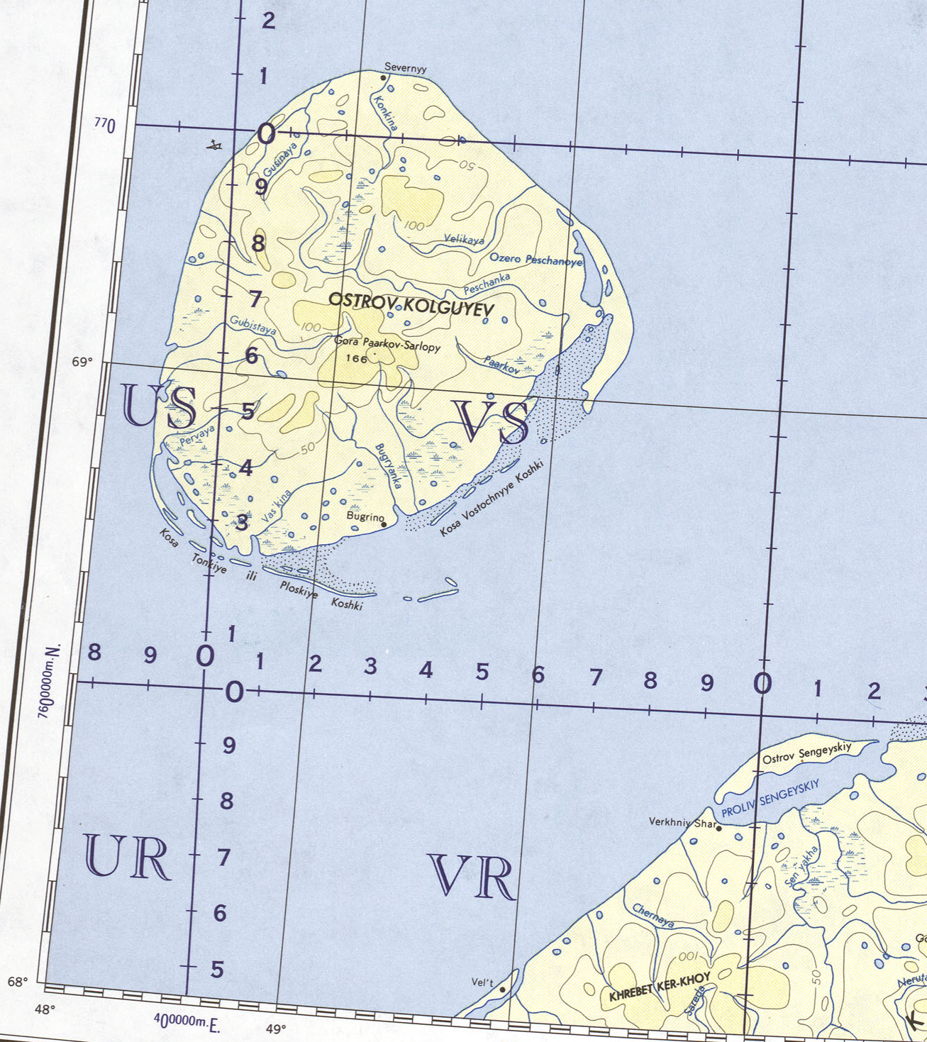
Location of Kolguyev IslandGeography Location Arctic Sea Coordinates 69°05′N 49°15′E / 69.083°N 49.25°E Area 4,968 km2 (1,918.2 sq mi) Highest elevation 166 m (545 ft) Highest point Gora Paarkov-Sarlopy Country RussiaOblast Arkhangelsk Oblast Okrug Nenets Autonomous Okrug Largest city Bugrino Demographics Population 200 Ethnic groups Nenets  Kolguyev Island. Part of U.S. Army map 1963 г.
Kolguyev Island (Russian: о́стров Колгу́ев) is an island in Nenets Autonomous Okrug Russia located in the south-eastern Barents Sea (east of the Pechora Sea) to the north-east of the Kanin Peninsula. The approximately circular-shaped island has a diameter of 80 kilometres (50 mi) and is 4,968 square kilometres (1,918 sq mi) in area. The highest point on the island is at 166 meters (545 feet). The vast wetland consists of many bogs and morainic hills, covered by vegetation characteristic of the tundra.
There is only one inhabited settlement on the island, Bugrino, located on the southeast coast. Nenets form the majority of the population, with fishing, reindeer farming and trapping being their main economic activities. Oil and gas are also present.[citation needed]
Report by Trevor-Battye
The island was explored in 1894 by the British naturalist Aubyn B.R. Trevor-Battye. He landed in June with an assistant, intending to spend about one month studying the wildlife, especially the birds. Due to mechanical problems with the vessel, and a misunderstanding, they were left stranded on the island for 12 weeks. He published his study of the natural history and topography of Kolguyev as: "Ice-bound on Kolguev" (Trevor-Battye 1895). The book includes observations on the Nenets (whom he called Samoyed) who brought their reindeer to the island for summer grazing and to trap geese for trade in Russia. Trevor-Battye eventually left the island with these reindeer herders in September 1894, and had to travel 1,000 miles (1,600 km) overland from the Pechora River to Archangel. He described this adventurous journey in: "A northern highway of the Tsar" (Trevor-Battye 1898).
References
- Inline
- General
- Trevor-Battye, Aubyn. (1895). Ice-bound on Kolguev, Constable, London, 1895.
- Trevor-Battye, Aubyn. (1898). A Northern Highway of The Tsar, Constable, London, 1898.
External links
Coordinates: 69°05′N 49°15′E / 69.083°N 49.25°EIslands of the Barents Sea Barentsøya · Berkha Island · Bear Island · Dolgy Island · Edgeøya · Gorbovy Island · Hopen · Kharlov Island · Kildin Island · Kolguyev · Kongsøya · Kvitøya · Lumbovskiy Island · Mezhdusharsky Island · Morzhovets Island · Nordaustlandet · Novaya Zemlya · Pankratyev Island · Pinyegin and Kazimov Islands · Prince Charles Forland · Sengeyskiy Island · Severny Island · Spitsbergen · Svenskøya · Vaygach Island · Wilhelmøya · Yuzhny IslandCategories:- Islands of Russia
- Nenets Autonomous Okrug
- Islands of the Barents Sea
Wikimedia Foundation. 2010.