- Oscott (ward)
-
Coordinates: 52°32′51″N 1°51′06″W / 52.5474°N 1.8517°W
Oscott 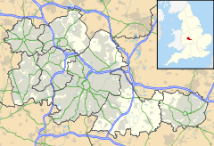
 Oscott
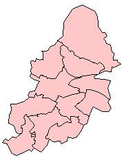
Oscott shown within the West MidlandsPopulation 24,073 (2001 Population Census) - Density 37.5 per ha OS grid reference SP100944 Metropolitan borough Birmingham Metropolitan county West Midlands Region West Midlands Country England Sovereign state United Kingdom Post town BIRMINGHAM Postcode district B73 Dialling code 0121 Police West Midlands Fire West Midlands Ambulance West Midlands EU Parliament West Midlands UK Parliament Birmingham Perry Barr List of places: UK • England • West Midlands Oscott is a ward in the northwest of Birmingham, England, within the formal district of Perry Barr.
The Ward is centred on the area known as Old Oscott, and should not be confused with nearby New Oscott. It includes the former Booths Farm sand quarry, Aldridge Road Recreation Ground, Witton Cemetery and Kingstanding Circle. The ward borders the Metropolitan Borough of Walsall and areas such as Perry Beeches and Queslett. Parts fall within Great Barr.
The nearest library serving the ward is Kingstanding Library.
Contents
History
The area is mainly a housing estate built in the 1930s and 1940s. Before this it was mainly rural farmland.
Population
The 2001 Population Census recorded that there were 24,073 people living in the ward. 9.4% (2,273) of the ward's population consists of an ethnic minority which is low compared to the average percentage of 29.6% for that of Birmingham.
Local politics
The ward of Oscott is represented on Birmingham City Council by three Labour Party councillors: John Cotton, Barbara Dring and Keith Linnecor[1].
The ward has adopted a Ward Support Officer.
Oscott Ward Local Action Plan
The Oscott Ward Local Action Plan was a locally organised plan to improve the quality of living within the ward during 2004 and 2005. Through funding from the Neighbourhood Renewal Fund, problems raised by local residents such as vandalism, anti-social behaviour and the cleanliness of the area were tackled[2].
References
External links
 Government of Birmingham
Edgbaston - Bartley Green
- Edgbaston
- Harborne
- Quinton

Erdington Hall Green Hodge Hill Ladywood Northfield - Kings Norton
- Longbridge
- Northfield
- Weoley
Perry Barr Selly Oak - Billesley
- Bournville
- Brandwood
- Selly Oak
Sutton Coldfield - Sutton Four Oaks
- Sutton New Hall
- Sutton Trinity
- Sutton Vesey
Yardley - Acocks Green
- Sheldon
- South Yardley
- Stechford and Yardley North
Categories:- Wards of Birmingham, West Midlands
- West Midlands (county) geography stubs

Wikimedia Foundation. 2010.