- New South Head Road
-
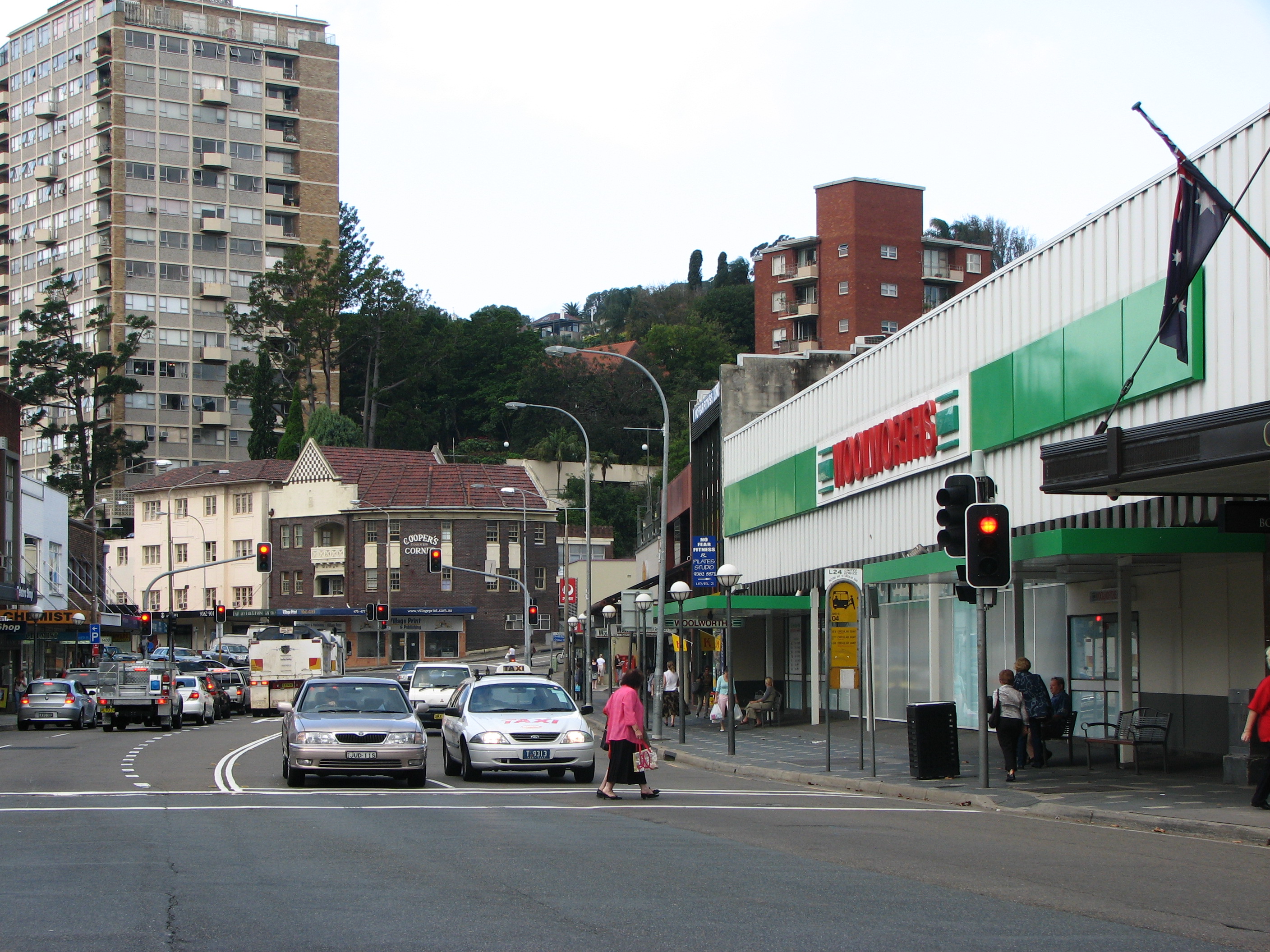
 New South Head Road, Double Bay
New South Head Road, is a major road in the Eastern Suburbs of Sydney, Australia. The road runs north-east from Rushcutters Bay through Edgecliff, Double Bay, Point Piper, Rose Bay and Vaucluse where it finally merges into Old South Head Road.
Contents
History
Maroo Track
Prior to the road's construction the main route to the southern headland was South Head Road, which led to the signal station following the route of modern day Old South Head Road and Oxford Street. In 1831, construction began on New South Head Road, the road was to follow the route of the aboriginal foot track Maroo, which contoured between south head and Sydney, before construction began on New South Head Road only aborigines and men stationed at the South Head Lookout Post used the track.
Initial Completion
 The Remains of Bentley's Bridge today
For the first few years of construction progress was slow and only parts of the road began to develop, as work was treacherous with the route offering a range of harsh environments such as the low lying swamplands of Rushcutters Bay, Double Bay and Rose Bay, to the steep cliff faces of Vaucluse and Watsons Bay, as well as this the bush lands surrounding the Maroo Track were reportedly infested with snakes. However by 1834 efforts had increased and the road began to take shape. Where the road crosses Rushcutters Creek, a succession of bridges were built, starting with a timber bridge around 1834, followed by a stone bridge erected between 1837 and 1839, Bentley’s Bridge [1] as it came to be known, was built by convicts under supervision of Lieutenant ACD Bentley. By the late 1830s the road was able to cater for carts and stretched from Rushcutters Bay to Vaucluse, finally providing Sydneysiders a coastal thoroughfare along the southern banks of the harbour.
South Head Road's Trust
Due to the poor condition of the New South Head Road and its southern predecessor Old South Head Road a trust was set up by a government act in May, 1848. The trust was given the responsibility of maintaining the twenty four kilometers of road under its control. To raise the funds to maintain the roads the Trust set up tolls, one of which was located on New South Head Road in the form of a turnpike gate that extracted tolls from the road users. Unfortunately for the occupants of newly developed suburbs on South Head such as Vaucluse, the trust failed to adequately delegate funds and maintenance of the road remained poor until the trust was disbanded in 1904.
Growing Importance
After the completion of New South Head Road, suburbs quickly formed around the road creating a demand for public and private services. In the late nineteenth century a number of schools were established on the road including the Sacred Heart Convent, now Kincoppal, Rose Bay (1882), Kambala Girls School (1884), Ascham School (1886) and Cranbrook School established twenty years later in Rose Bay. As well as this a Roman Catholic Church, St. Mary Magdalene, was built in Rose Bay In 1920. Official Government buildings were also established on the road including the Rose Bay Police Station (1930) and the Woollahra Council Chambers in Double Bay (1947). Also a number of recreational facilities were installed along the route including parks, yacht clubs and the Royal Sydney Golf Club (1896).
Expansion
By the early 1930s New South Head Road had become a major route as it linked the wealthy suburbs on the harbour foreshore to Sydney’s centre. The road had developed little since its initial completion and its condition had severely worsened since the disbanding of the Old South Head Road’s Trust in 1904, so in 1932 a major redevelopment of the road began which included widening the road to cater for modern day motor vehicles. The widening of the road required the creation of seawalls in Rose Bay and Rushcutters Bay, whilst the Rose Bay sea wall had been mainly developed in 1928, the Rushcutters Bay sea wall wasn’t completed until later in 1932. The road was again widened in the late 1970s and early 1980s to four lanes (two each way).
Trams
In the late nineteenth century a tram line was added to New South Head Road. The Watson’s Bay line as it was known began at Wynyard and reached New South Head Road at its starting point in Rushcutters Bay, where a tram depot serving the line was located on the north side of the road. The line was expanded along New South Head Road to Edgecliff in 1894 and reached Watson’s Bay in 1909. The line left New South Head Road in Vaucluse as it became a single track down to Watson’s Bay. The track was centralized in the late 1920s and early 1930s with the widening of New South Head Road. In 1949, the line from Rose Bay to Watson's Bay was closed, but reopened due to public protest in 1950, though was later along with the rest of the line permanently closed in 1960.
Present Day
Today the road serves as a major link to the city from the predominantly upper and middle class suburbs of the Woollahra municipality. The road is often heavily congested with cars especially during peak hours. The road is serviced by a number of bus routes including the 324, 325, 326, 327, L24 and the sightseeing bus 222. There is a major bus depot and train station located on the road in Edgecliff. The Watson’s Bay Ferry Route has stops off the road in Rose Bay and Double Bay, providing a popular and quicker option for businesspersons in the area to commute to the city. The road also serves as the major leg of the Sydney City to Surf running event, and is famous for the steep ascent from Rose Bay to Vaucluse known as Heartbreak Hill.[2]
References
- The Book of Sydney Suburbs, Compiled by Frances Pollen, Angus & Robertson Publishers, 1990, Published in Australia ISBN 0-207-14495-8
- Historic Houses of Australia Compiled by The Australian Council Of National Trusts, Cassell Australia Limited, 1974, Published in Australia, ISBN 304-93935-8
- ^ "Bentleys Bridge". Heritage and Conservation Register. Roads and Traffic Authority. http://www.rta.nsw.gov.au/cgi-bin/index.cgi?action=heritage.show&id=4305026. Retrieved 2007-04-16.
- ^ "Interactive Map Video 2" (movie). City to Surf website. The Sydney Morning Herald. 2006. Archived from the original on 2007-04-02. http://web.archive.org/web/20070402071702/http://city2surf.sunherald.com.au/map.asp. Retrieved 2007-04-12.
Categories:- Streets in Sydney

Wikimedia Foundation. 2010.