- Narahenpita
-
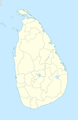
Narahenpita — Suburb — Coordinates: 6°53′32″N 79°52′37″E / 6.89222°N 79.87694°ECoordinates: 6°53′32″N 79°52′37″E / 6.89222°N 79.87694°E Country Sri Lanka Province Western Province District Colombo District Government - Mayor Time zone Sri Lanka Standard Time Zone (UTC+5:30) Postal Code 10100 Narahenpita is a municipal ward of Colombo city, Sri Lanka. Located at the South-Eastern corner and served by the Kelani Valley Railway Line, many government institutions including the National Blood Bank, the Survey Department, the Labor Ministry and several departments of the Health Ministry are situated in the area as well as several major private hospitals in the country.

Cinnamon Gardens Borella Rajagiriya 
Kollupitiya 
Nawala  Narahenpita

Bambalapitiya Havelock Town Kirilapone Suburbs of Colombo Colombo Bambalapitiya · Bloemendhal · Borella · Cinnamon Gardens · Dematagoda · Fort (Colombo) · Grandpass · Havelock Town · Hultsdorf · Kirilapone · Kollupitiya · Kotahena · Madampitiya · Maligawatta · Maradana · Mattakkuliya · Modera · Mutwal · Narahenpita · Pamankada · Panchikawatte · Pettah · Slave Island · Union Place · Welikada · Wellawatte. Dehiwala. Mount Lavinia. RatmalanaSri J'pura-Kotte Presently Narahenpita had become the New Hospital Town, The main private hospitals are located here. Asiri Hospital Asiri Surgical Hospital Lanka Hospital Ninewells Hospital
Categories:- Suburbs of Colombo
- Western Province, Sri Lanka geography stubs
- Populated places in Western Province, Sri Lanka
Wikimedia Foundation. 2010.

