- Maligawatta
-
Maligawatta
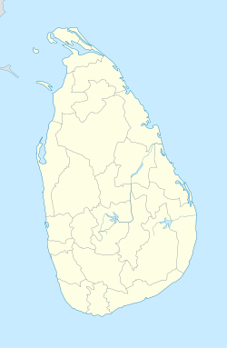
මාලිගාවත්ත— Suburb — Coordinates: 6°56′14″N 79°52′19″E / 6.93722°N 79.87194°ECoordinates: 6°56′14″N 79°52′19″E / 6.93722°N 79.87194°E Country Sri Lanka Province Western Province District Colombo District Government - Mayor Time zone Sri Lanka Standard Time Zone (UTC+5:30) Postal Code Maligawatta is a suburb in Colombo, Sri Lanka. Maligawatta is located approximately 3 kilometres north-east from the centre of Colombo, Colombo Fort. The name Maligawatta is from the Sinhalese language which translates into 'Garden of the palace'.[1]
The R. Premadasa International Cricket Stadium is located in this area on Khettarama Road.

Kotahena Bloemendhal Grandpass 
Pettah 
Dematagoda  Maligawatta

Hultsdorf Maradana Welikada References
Suburbs of Colombo Colombo Bambalapitiya · Bloemendhal · Borella · Cinnamon Gardens · Dematagoda · Fort (Colombo) · Grandpass · Havelock Town · Hultsdorf · Kirilapone · Kollupitiya · Kotahena · Madampitiya · Maligawatta · Maradana · Mattakkuliya · Modera · Mutwal · Narahenpita · Pamankada · Panchikawatte · Pettah · Slave Island · Union Place · Welikada · Wellawatte. Dehiwala. Mount Lavinia. RatmalanaSri J'pura-Kotte Categories:- Suburbs of Colombo
- Populated places in Western Province, Sri Lanka
- Western Province, Sri Lanka geography stubs
Wikimedia Foundation. 2010.

