- Nangang Software Park Station
-
Nangang Software Park Station南港軟體園區站
Nangang Software Park Station Platform Location Municipality Taipei District(s) Nangang Address No. 183, Jingmao 2nd Rd. Info Type Elevated History Opened July 4, 2009 Rail services Line(s) ■ Neihu Line (B10) Daily Ridership 1,645 (Jul. 2011)[1]
(Ranked 89th of 89)Operator(s) Taipei Rapid Transit System  There is a bus stop near this station.
Nangang Software Park Station Traditional Chinese 南港軟體園區站 Simplified Chinese 南港软体园区站 Transcriptions Mandarin - Hanyu Pinyin Nángǎng Ruǎntǐ Yuánqū Zhàn - Bopomofo ㄋㄢˊ ㄍㄤˇ ㄖㄨㄢˇ ㄊㄧˇ ㄩㄢˊ ㄑㄩ ㄓㄢˋ The Taipei Metro Nangang Software Park Station is located in the Nangang District in Taipei, Taiwan. It is a station on the Neihu Line.
Contents
Station overview
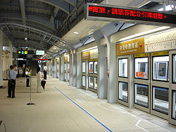
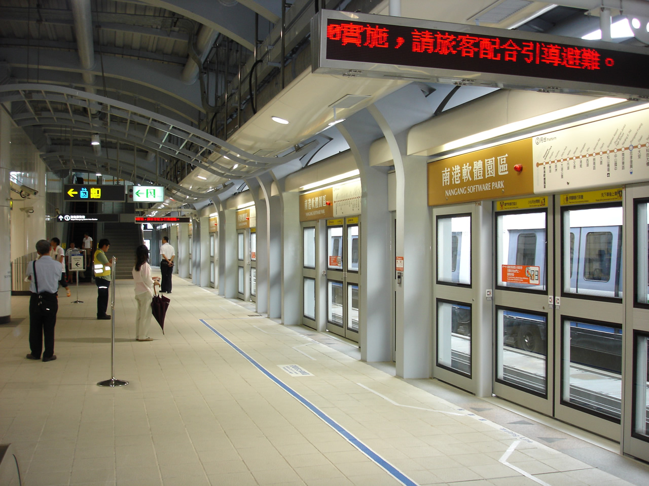
 Nangang Software Park Station platform
This elevated station features two side platforms, two exits, and a platform elevator located on the north side of the concourse level.[2] The station is 93 meters long and 53 meters wide, while the platform is 93 meters long and 21.5 meters wide.[3]
As part of the public art project for the Neihu Line, the theme for this station is "Digital".[4]
History
- June 16, 2003: Construction of the Nangang Software Park station begins.[3]
- February 22, 2009: Station construction is completed.
- July 4, 2009: Begins service with the opening of the Neihu Line.
Station layout
3F Connecting Level Overhead Bridge, Machinery 2F Side platform, Doors will open on the right Platform 1 ← Neihu Line toward Taipei Nangang Exhibition Center (Terminus) Platform 2 → Neihu Line toward Taipei Zoo (Donghu) → Side platform, Doors will open on the right Lobby
(to Platform 2)Lobby, Information Counter, Automatic Ticket Dispensing Machines
One-way Faregates, Restrooms1F Street Level Entrance/Exit Around the station
- Nangang Software Park
- Taipei Metro Neihu Depot
- East District Project Office, Department of Rapid Transit Systems
Preceding station Taipei Metro Following station Taipei Nangang Exhibition CenterTerminusBrown Line toward Taipei ZooReferences
- ^ "Passenger Volume at Taipei Rapid Transit Stations". Taipei City Department of Transportation. 2011-08-24. http://tcgwww.taipei.gov.tw/site/tcg/public/MMO/dot/m17.pdf. Retrieved 2011-08-24.
- ^ "Route Map: Nangang Software Park". Department of Rapid Transit Systems, TCG. http://web.trtc.com.tw/e/stationdetail.asp?ID=030. Retrieved 2010-06-14.
- ^ a b "Route Map: 南港軟體園區站". East District Project Office, Department of Rapid Transit Systems. 2009-06-11. http://www.edpo.dorts.gov.tw/content.asp?CuItem=121137. Retrieved 2010-06-14.
- ^ "( B10 ) Nangang Software Park". Comprehensive Planning Division, Civil Engineering and Architectural Design Division. 2009-07-04. http://www.dorts.gov.tw/english/Network/sta/sta_B10.htm. Retrieved 2009-07-12.[dead link]
Taipei Metro Brown Line (Neihu Line ↔ Wenshan Line) Taipei Nangang Exhibition Center - Nangang Software Park - Donghu - Huzhou - Dahu Park - Neihu - Wende - Gangqian - Xihu - Jiannan Road - Dazhi - Songshan Airport - Zhongshan Junior High School - Nanjing East Road - Zhongxiao Fuxing - Daan - Technology Building - Liuzhangli - Linguang - Xinhai - Wanfang Hospital - Wanfang Community - Muzha - Taipei Zoo
Coordinates: 25°03′36″N 121°36′57″E / 25.059934°N 121.6158736°ECategories:- Taipei Metro stations in Taipei
- Railway stations opened in 2009
- Taiwan rapid transit stubs

Wikimedia Foundation. 2010.