- Mykawa, Houston
-
 The former Mykawa School
Mykawa is an area within Houston, Texas, United States that was formerly a distinct unincorporated community in Harris County.
Mykawa was named after a Japanese nurseryman named Shinpei Mykawa, who, by 1906, introduced the cultivation of rice in the area. The community was renamed from Erin Station after Mykawa died after he fell underneath one of his pieces of agricultural equipment.[1] Mykawa's name, as the town name and the name of Mykawa Road, is pronounced differently from the actual Japanese name Maekawa.[2]
Contents
Education
Mykawa is within the Houston Independent School District.
Elementary schools serving portions of the Mykawa area include:
The area is served by the following secondary schools:
Originally the community was served by Harris County School District 45. The Mykawa School, a 20th Century one room schoolhouse that was within the district, at one time served residents of Mykawa. The red brick building sits on 6.5 acres (2.6 ha) of land.[7] The Minnetex Civic Club rents the building from its owner, the Houston Independent School District, to use as a meeting place. In 2002 the club wanted the school to be named a historical monument so the building would avoid demolition and receive a restoration. During that year, Terry McMillan, the president of the civic club, said that the school district did not want the building to be named a historic site as it would make it more difficult for the school district to sell the school.[8] In 2003 the civic club held a festival in the former schoolhouse to raise awareness about the building. By that year the school's roof had partially collapsed.[7]
See also
References
- ^ "Historic Houston Streets: The Stories Behind the Name. July 19, 2007
- ^ "改称される「ジャップ通り」 その2." Sanyo Shimbun. Retrieved on June 19, 2009.
- ^ "Frost Elementary Attendance Zone." Houston Independent School District.
- ^ "Mitchell Elementary Attendance Zone." Houston Independent School District.
- ^ "Thomas Middle Attendance Zone." Houston Independent School District.
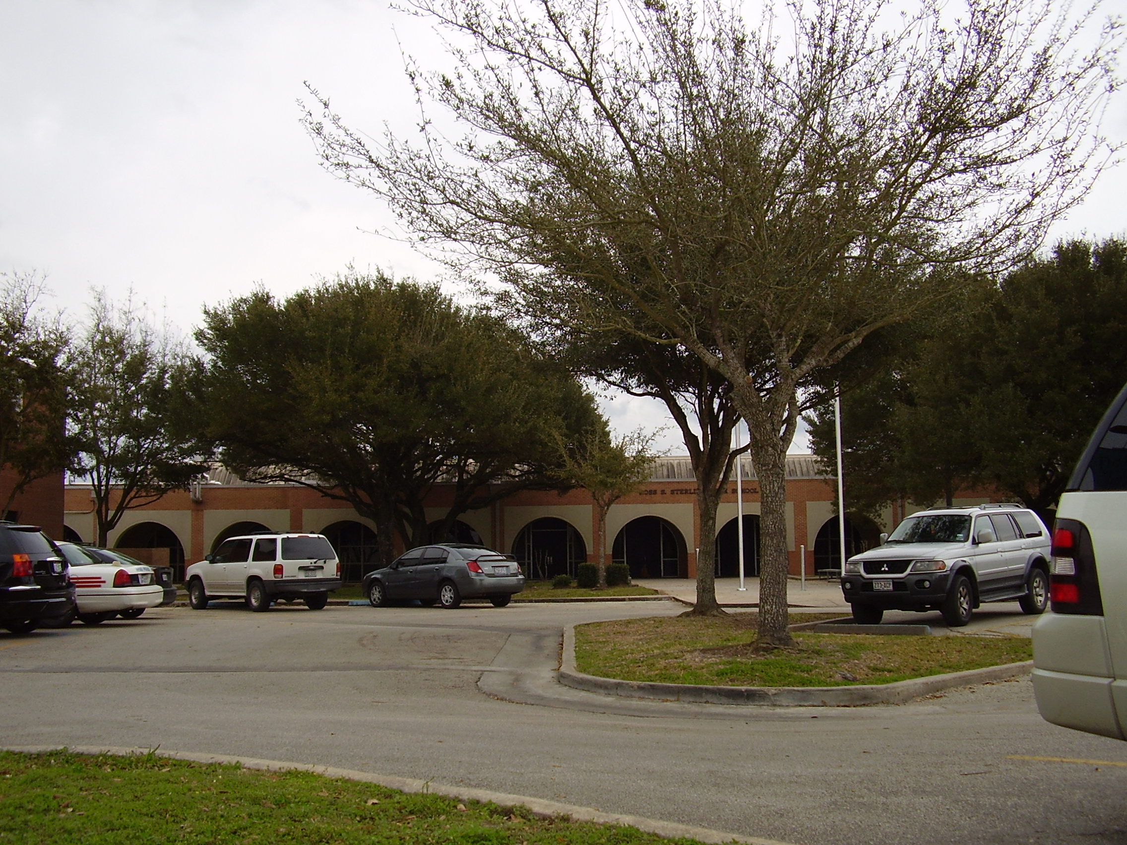
- ^ "Sterling High School Attendance Zone." Houston Independent School District.
- ^ a b Martin, Betty L. "Minnetex to host festival to raise awareness about health, 1919 schoolhouse." Houston Chronicle. Thursday April 3, 2003. ThisWeek7. Retrieved on December 21, 2009.
- ^ Martin, Betty L. "RED SCHOOL HOUSE / Civic club wants to restore, preserve Mykawa School." Houston Chronicle. Thursday September 5, 2002. ThisWeek 1. Retrieved on December 21, 2009.
External links
 City of HoustonNickname: Space City
Topics History | Geography | Climate | Politics | Mayors | Economy | Demographics | Culture | Architecture | Transportation | Education | Nicknames | Sister cities
Attractions Theater District | Bayou Place | Museum District | Houston Zoo | Hermann Park | Space Center Houston | the Galleria | Waterwall Park | Memorial Park | Discovery Green | Lee and Joe Jamail Skatepark | University of Houston
Business Districts Downtown | Uptown | Texas Medical Center | Greenway Plaza | Energy Corridor | Westchase | Memorial City | Greenspoint
See also: List of companies in HoustonCommunities Acres Homes | Addicks | Alief | Almeda | Bordersville | Boulevard Oaks | Braeburn | Braeswood Place | Brays Oaks | Blue Ridge | Chinatown | Clear Lake City | Denver Harbor | East Downtown | East End | East Houston | Genoa | Glenbrook Valley | Greater Sharpstown | Gulfton | Harrisburg | Hiram Clarke | Houston Heights | Independence Heights | Inwood Forest | Kingwood | Magnolia Park | Maplewood | Meyerland | Midtown | Montrose District | Museum District | Neartown | Near Northwest | North Shore | Northside | Oak Forest | River Oaks | Riverside Terrace | South Park | Spring Branch | Sunnyside | Upper Kirby
Historic wards: First Ward | Second Ward | Third Ward | Fourth Ward | Fifth Ward | Sixth Ward
See also: The six wards of HoustonNeighborhoods Afton Oaks | Brentwood | Briargrove Park | City Park | Clinton Park | Cloverland | Corinthian Pointe | Crestwood | Eastwood | Garden Oaks | Highland Village | Houston Gardens | Idylwood | Kashmere Gardens | Larchmont | Magnolia Grove | Montrose | Morningside Place | Near North Side | Nottingham Forest | Old Braeswood | Pecan Park | Port Houston | Rice Military | Robindell | Royal Oaks Country Club | Settegast | Sharpstown | Shenandoah | University Oaks | Walnut Bend | Westbury | West End | Westmoreland | Willow Meadows | Willowbend | Woodland Heights
See: List of Houston neighborhoodsEducation Public universities: University of Houston | University of Houston–Clear Lake | University of Houston–Downtown | Texas Southern University
Private universities: Rice University | Houston Baptist University | University of St. Thomas
Community colleges: Houston Community College | Lone Star College | San Jacinto College
See: List of colleges and universities in HoustonCategories:- Neighborhoods in Houston, Texas
- Geography of Harris County, Texas

Wikimedia Foundation. 2010.