- Near Northside, Houston
-
Near North Side (renamed as the Northside Village by the Superneighborhood Council) is a historic neighborhood located in Northside, Houston, Texas.[1] Near Northside is primarily occupied by people of Hispanic descent and a growing number of African-Americans.[2] The boundaries or the neighborhood are along Interstate 10 to Frisco Street and from Interstate 45 to Hardy Street.
Development of the Near Northside neighborhood begun in the 1880s-1890s with the expansion of the nearby Hardy Rail Yards. With the decrease of rail traffic and increase in suburban development in Houston, the neighborhood began to decline after World War II. Today on a few residents live in the neighborhood that was altered in 1954 by the construction of the Elysian Viaduct.
Preservation Texas, an organization dedicated to preserving historic resources in the state of Texas, named Near Northside Neighborhood to list of Texas' most endangered historic places in 2005. The Metropolitan Transit Authority is planning an extension of the METRORail light rail system through the neighborhood. The proposed expansion could result in the demolition of blocks of historic houses, including properties eligible for listing in the National Register of Historic Places.[3]
Contents
Education
Primary and secondary schools
Public schools
 Northside Elementary School(Houston)
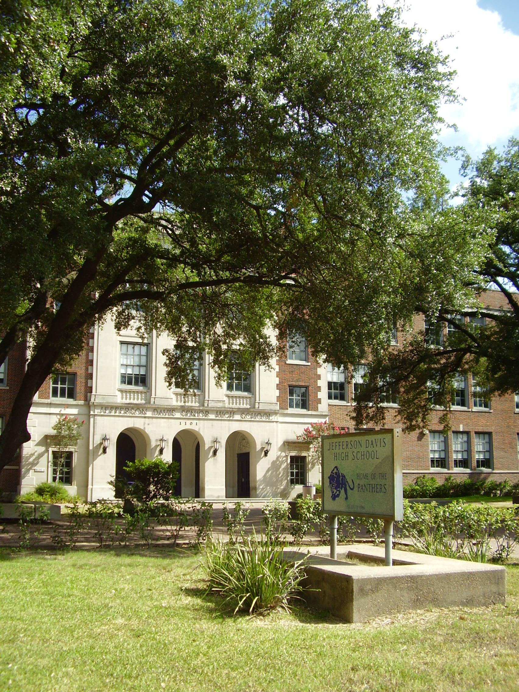
 Davis High School
Near North Side is served by the Houston Independent School District.[4]
The new Northside Elementary School will be built in place of Sherman Elementary on McKee St. HISD plans to level Sherman Elementary and build a new, larger school at it's current location in Northside Village. The work will consist of demolishing the existing buildings on the site (including the school building and houses) and construction of a new 86,000-square-foot (8,000 m2) school building to accommodate 750 students.[5]Jefferson Davis High School is located on Quitman Street. Marshall Middle School is across from Davis. Nearby elementaries are Sherman and the brand new Ketelsen which replaced Lamar and Lee Elementaries.[6]
YES East End, a charter Grade 6 middle school, is actually located in the Near North Side area, northwest of the East End area.
Private schools
The Roman Catholic Archdiocese of Galveston-Houston oversees the Holy Name School, a Kindergarten through 8th Grade school in the area [1]. January 2009 the Archdiocese of Galvesto-Houston announced the closing of Holy Name School.
Public libraries

The Houston Public Library's Carnegie Neighborhood Library serves the community.[7]
Community services
Harris County Hospital District operates the Casa de Amigos Health Center at 1615 North Main Street and the Thomas Street Health Center at 2015 Thomas Street; both are in Houston.
References
- ^ GHPA > HNC > Newsletter
- ^ http://www.houstontx.gov/planning/suprnbhds/2001_demog/51_nearnorthside.htm
- ^ http://www.preservationtexas.org/endangered/nearnorthside.pdf
- ^ http://www.hisd.org/
- ^ http://swamplot.com/shermans-march-the-new-northside-elementary/2011-06-28/, June 28, 2011.
- ^ SN #51
- ^ "Carnegie Neighborhood Library." Houston Public Library. Retrieved on July 25, 2009.
External links
- Near Northside Community Development
- Near Northside Homes-Is it Time to Recommend Them?
- Northside Neighborhood Economic Revitalization Plan, City of Houston (PDF)
 City of HoustonNickname: Space City
Topics History | Geography | Climate | Politics | Mayors | Economy | Demographics | Culture | Architecture | Transportation | Education | Nicknames | Sister cities
Attractions Theater District | Bayou Place | Museum District | Houston Zoo | Hermann Park | Space Center Houston | the Galleria | Waterwall Park | Memorial Park | Discovery Green | Lee and Joe Jamail Skatepark | University of Houston
Business Districts Downtown | Uptown | Texas Medical Center | Greenway Plaza | Energy Corridor | Westchase | Memorial City | Greenspoint
See also: List of companies in HoustonCommunities Acres Homes | Addicks | Alief | Almeda | Bordersville | Boulevard Oaks | Braeburn | Braeswood Place | Brays Oaks | Blue Ridge | Chinatown | Clear Lake City | Denver Harbor | East Downtown | East End | East Houston | Genoa | Glenbrook Valley | Greater Sharpstown | Gulfton | Harrisburg | Hiram Clarke | Houston Heights | Independence Heights | Inwood Forest | Kingwood | Magnolia Park | Maplewood | Meyerland | Midtown | Montrose District | Museum District | Neartown | Near Northwest | North Shore | Northside | Oak Forest | River Oaks | Riverside Terrace | South Park | Spring Branch | Sunnyside | Upper Kirby
Historic wards: First Ward | Second Ward | Third Ward | Fourth Ward | Fifth Ward | Sixth Ward
See also: The six wards of HoustonNeighborhoods Afton Oaks | Brentwood | Briargrove Park | City Park | Clinton Park | Cloverland | Corinthian Pointe | Crestwood | Eastwood | Garden Oaks | Highland Village | Houston Gardens | Idylwood | Kashmere Gardens | Larchmont | Magnolia Grove | Montrose | Morningside Place | Near North Side | Nottingham Forest | Old Braeswood | Pecan Park | Port Houston | Rice Military | Robindell | Royal Oaks Country Club | Settegast | Sharpstown | Shenandoah | University Oaks | Walnut Bend | Westbury | West End | Westmoreland | Willow Meadows | Willowbend | Woodland Heights
See: List of Houston neighborhoodsEducation Public universities: University of Houston | University of Houston–Clear Lake | University of Houston–Downtown | Texas Southern University
Private universities: Rice University | Houston Baptist University | University of St. Thomas
Community colleges: Houston Community College | Lone Star College | San Jacinto College
See: List of colleges and universities in HoustonCategories:- Neighborhoods in Houston, Texas


Wikimedia Foundation. 2010.