- Mount Taishaku
-
Mount Taishaku 帝釈山 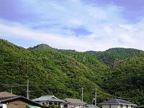
Mount Tanjō and Mount Taishaku from Tsukihara (10/2008)Elevation 585.9 m (1,922 ft) Pronunciation [taiɕakusaɴ] Location Location Sakamoto, Yamada, Kita-ku, Kobe, Hyōgo, Japan Range Tanjō Mountains Coordinates 34°47′N 135°7′E / 34.783°N 135.117°E Mount Taishaku (帝釈山 Taishaku-san) is a 585.9 m (1,922 ft) mountain of Tanjō Mountains, located Sakamoto, Yamada, Kita-ku, Kobe, Hyōgo, Japan.
Contents
Outline and History
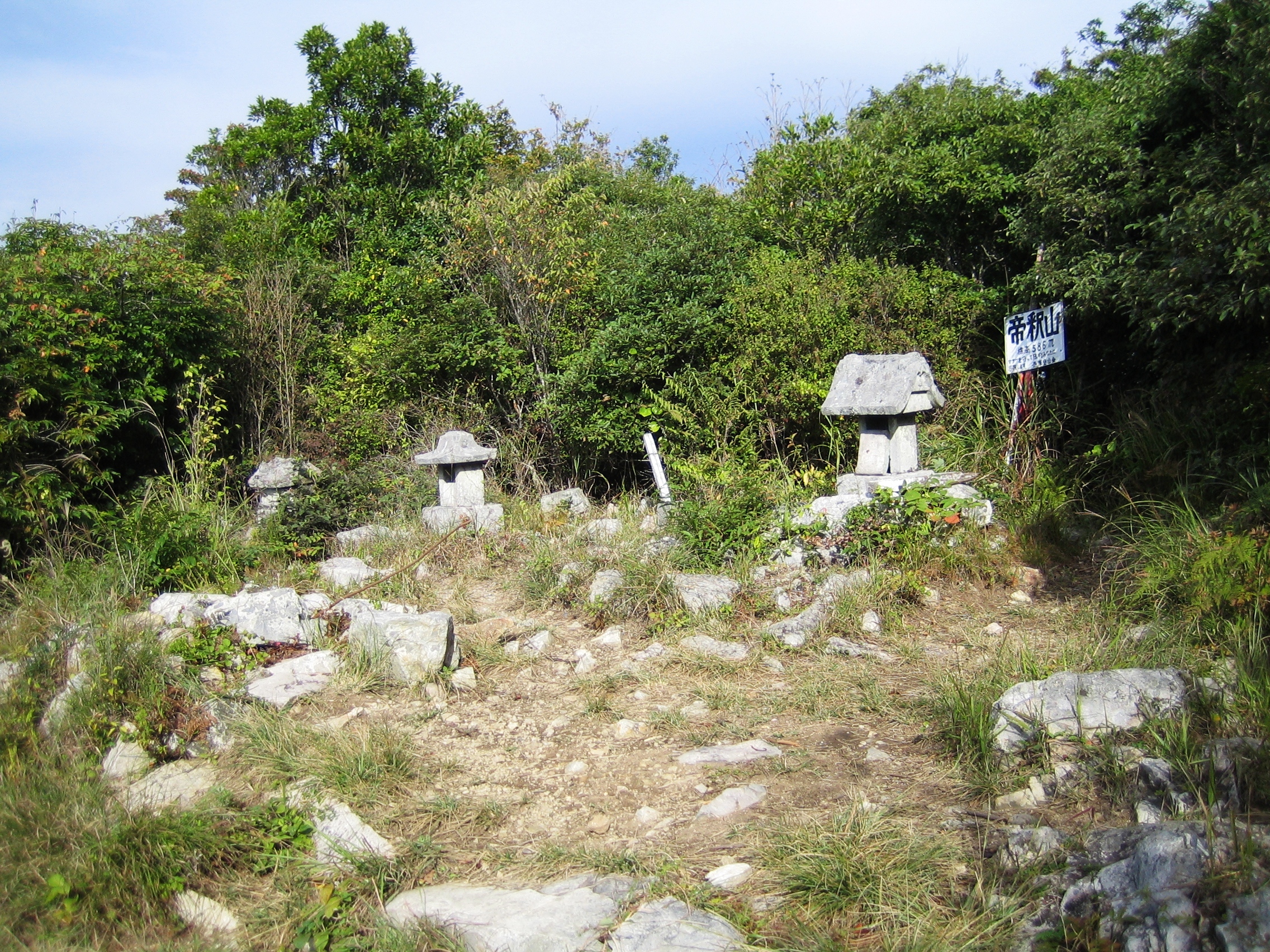
Mount Taishaku is the second tallest mountain of Tanjō Mountains, which itself is a part of Rokkō Mountains. The name ‘Taishaku’ comes from Śakra a deity of Budhsim. At the top of this mountain, there was the Okuno-in of the Myōyōji temple and at the Okuno-in it is said that a sculpture of Śakra was set up.
Access
- Tanjō Jinja Mae Bus Stop of Kobe City Bus
- Tsukihara Bus Stop of Kobe City Bus
References
- ‘Kansaishuhen no Yama 250’, Yama to Keikokusha Osakashikyoku
- Official Home Page of the Geographical Survey Institute in Japan
Gallery
-

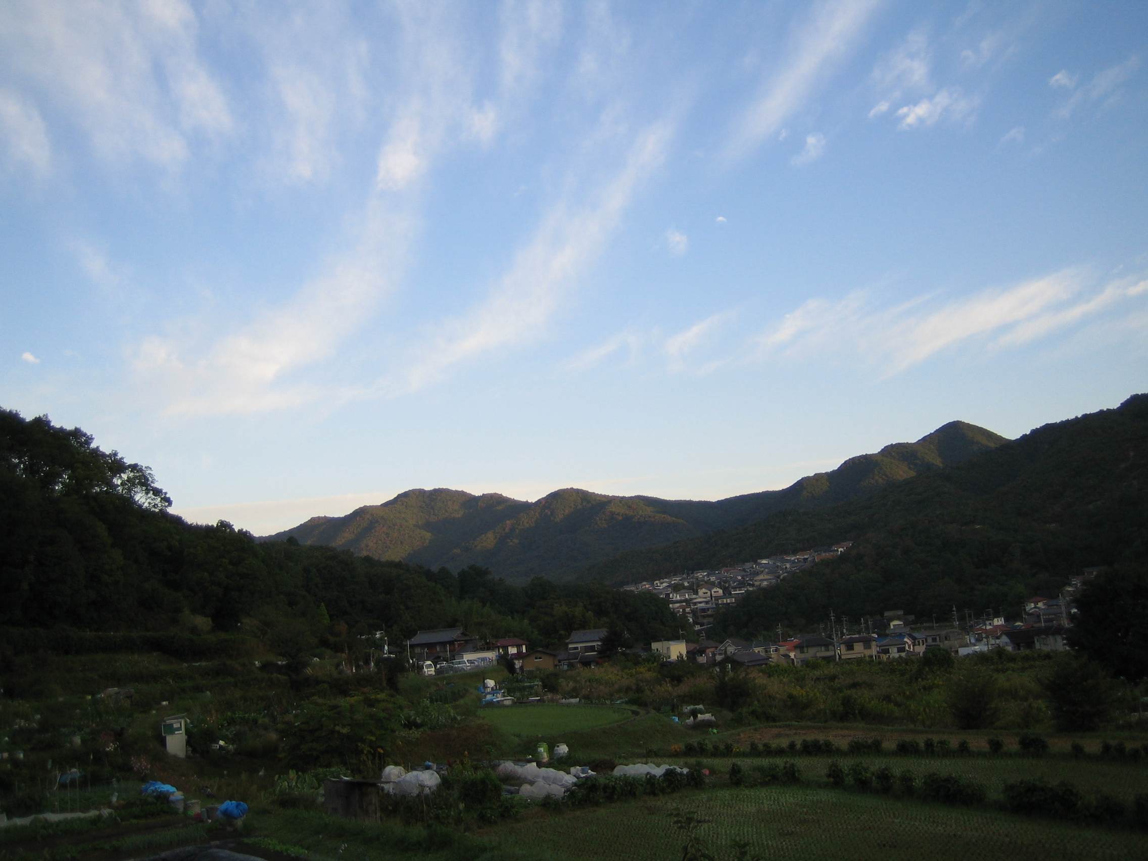
Tanjō Mountains early in the morning (10/2008)
-
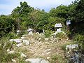
Religious objects at the top of Mount Taishaku (10/2008)
-
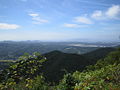
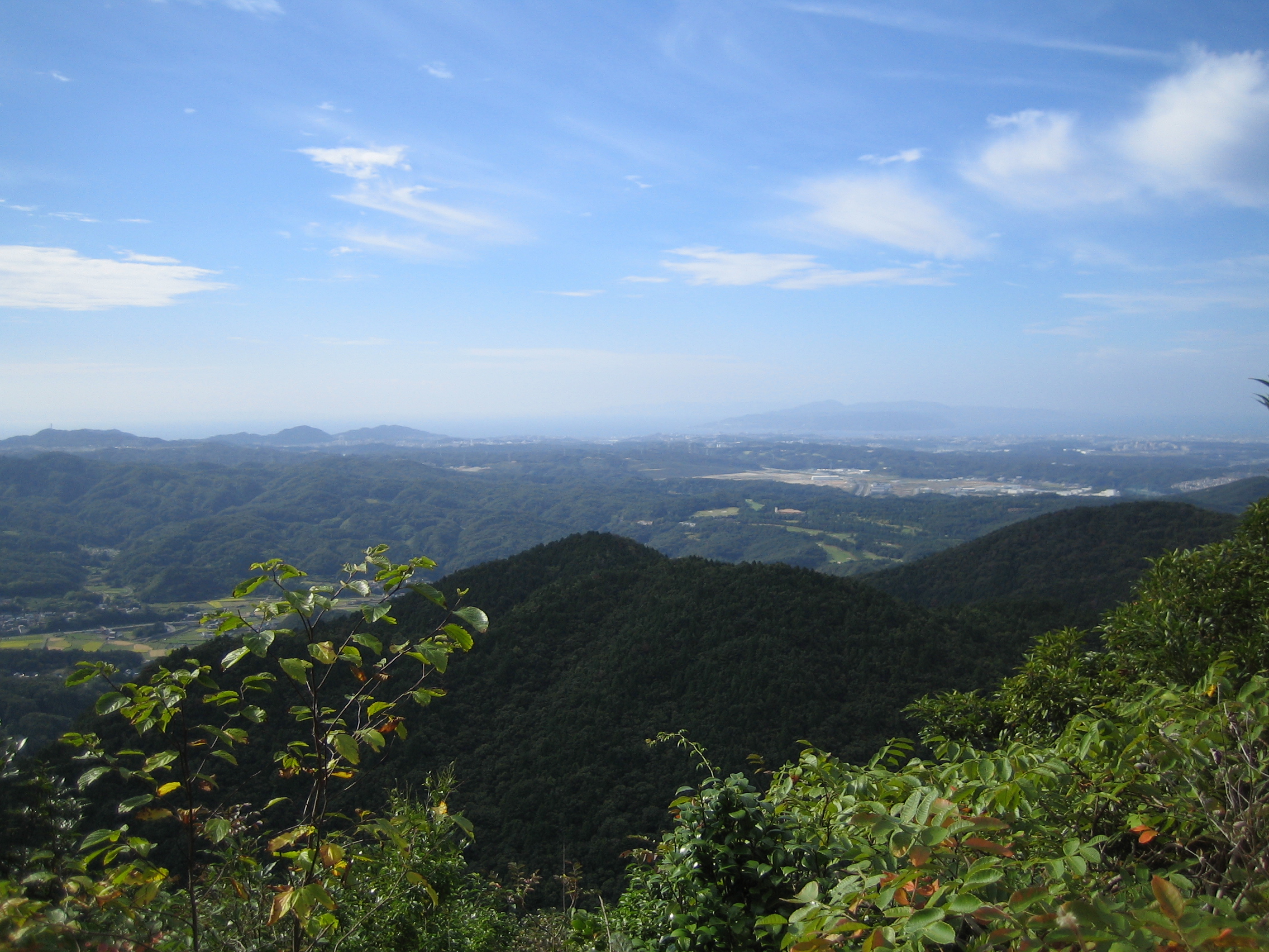
South view from the top of Mount Taishaku (2008年10月)
-
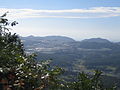
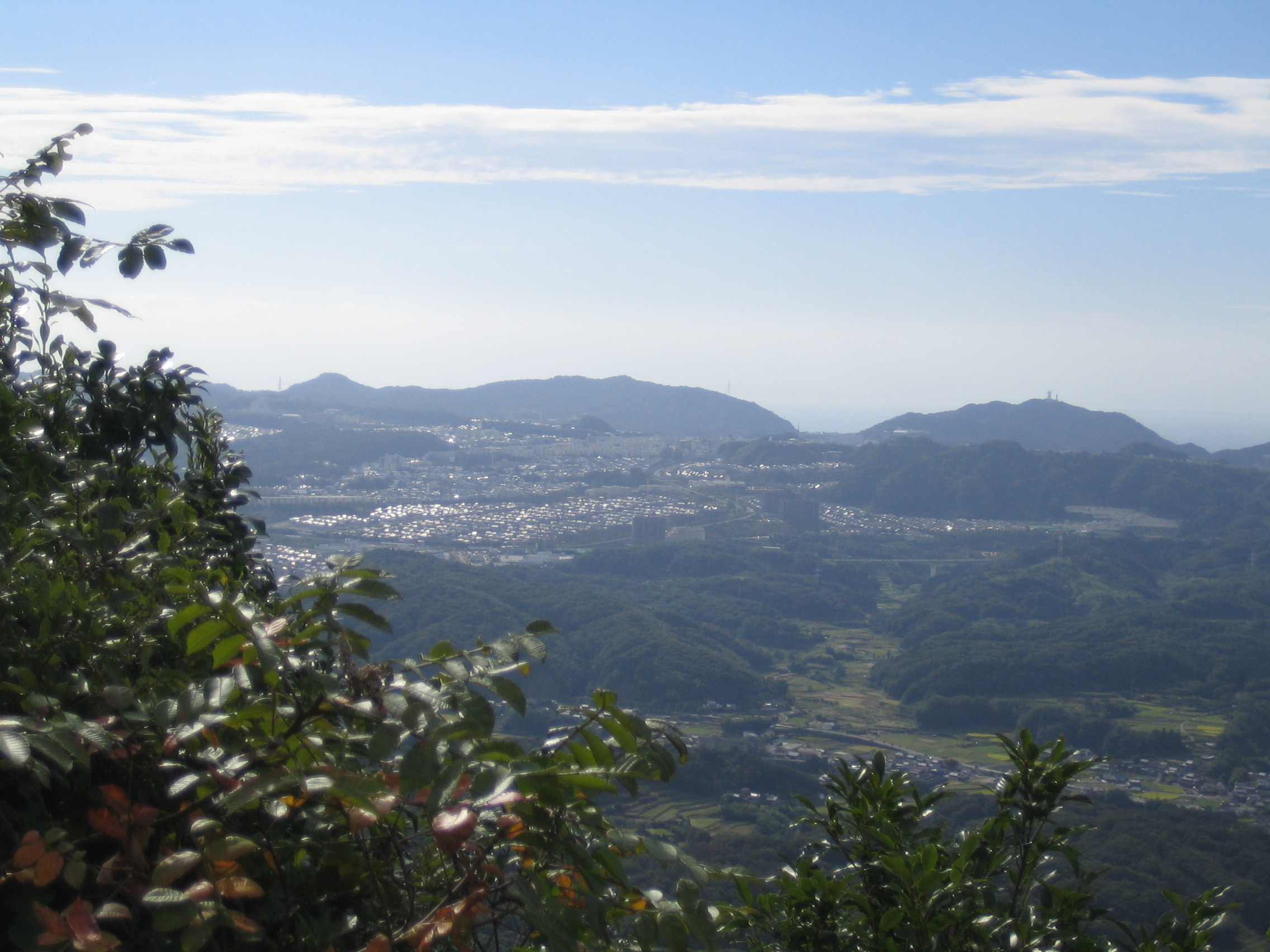
West view from the top of Mount Taishaku (2008年10月)
Categories:- Mountains of Hyōgo Prefecture
- Visitor attractions in Hyōgo Prefecture

Wikimedia Foundation. 2010.